The Independent is a mercury mine located in Crook county, Oregon at an elevation of 5,735 feet.
About the MRDS Data:
All mine locations were obtained from the USGS Mineral Resources Data System. The locations and other information in this database have not been verified for accuracy. It should be assumed that all mines are on private property.
Mine Info
Elevation: 5,735 Feet (1,748 Meters)
Commodity: Mercury
Lat, Long: 44.34194, -120.35389
Map: View on Google Maps
Satelite View
MRDS mine locations are often very general, and in some cases are incorrect. Some mine remains have been covered or removed by modern industrial activity or by development of things like housing. The satellite view offers a quick glimpse as to whether the MRDS location corresponds to visible mine remains.
Mine Description
Location: Center of sec. 20, T. 145., R. 20 E., at the head of Johnson Creek on the northeast slope of Lookout Mountain. The property adjoins the Mother Lode mine property on the northeast.
Owners: Independent Quicksilver Co.; Lloyd Bartlett, Salem, secretary-treasurer.
Production: None.
History: The prospect may have been worked initially by early owners of the Mother Lode mine. The present company, which was organized by George A. Dreis, acquired ownership in 1930 and has done nearly all of the existing work.
Development: Prospecting efforts have been concentrated in two areas about 1,500 feet apart (figure 48 in image gallery). Both areas have been explored by many hundreds of feet of bulldozer trenches and by several drill holes. The eastern area also includes three adits, one of which is caved. The other two contain, collectively, about 600 feet of workings. A small gravity mill was installed on the property in 1959.
Geology: The west workings are in and along the western edge of a grassy meadow at the head of Johnson Creek. The meadow, which is roughly 200 yards across, is underlain largely by stream and marsh deposits consisting of crossbedded sand and clayey silt. Outcrops are scarce and several of the trenches failed to penetrate the alluvium. Rocks exposed within the meadow and along its periphery include andesite flows, tuffs, and breccias of the Clarno Formation. Dips where ascertainable are of low angle. Along the southeast side of the meadow in the vicinity of the east workings these rocks are overlain, apparently unconformably, by porphyritic andesite.
Within the meadow, cinnabar is sparsely but widely scattered through the alluvium. Its source was not determined by the writer; however, the owners report that, as a result of drilling, several small occurrences of cinnabar have been found in the underlying andesites. Weathering and erosion of the upper parts of such bodies could have contributed the cinnabar.
The two accessible adits of the east workings penetrate hard andesite, crosscutting at irregular intervals some narrow faults. The faults contain from a few inches to a foot of crushed andesite and gouge. Some are impregnated with a little calcite and silica. Cinnabar, though present as fracture coatings and small disseminated crystals, is scarce. One of the opencuts immediately below the adits exposes the varicolored clays and gouge characteristic of shear zones in the Johnson Creek area. Because of inadequate exposure, neither the width nor the attitude of the shear zone could be ascertained. A sample taken from the floor of the cut showed a little cinnabar and pyrite when panned.
Text from Quicksilver in Oregon, Bulletin 55, State of Oregon Department of Geology and Mineral Industries. Author: Howard C. Brooks
Independent MRDS details
Site Name
Primary: Independent
Commodity
Primary: Mercury
Location
State: Oregon
County: Crook
District: Johnson Creek
Land Status
Administrative Organization: Ochoco National Forest
Holdings
Not available
Workings
Not available
Ownership
Owner Name: Independent Quicksilver Co.
Years: 1963 -
Production
Not available
Deposit
Record Type: Site
Operation Category: Occurrence
Operation Type: Unknown
Years of Production:
Organization:
Significant: N
Deposit Size: S
Physiography
General Physiographic Area: Intermontane Plateaus
Physiographic Province: Columbia Plateau
Physiographic Section: Walla Walla Plateau
Mineral Deposit Model
Not available
Orebody
Not available
Structure
Not available
Alterations
Alteration Type: L
Alteration Text: Minor Hydrothermal Alteration
Rocks
Name: Tuff
Role: Host
Age Type: Host Rock
Age Young: Pliocene
Analytical Data
Not available
Materials
Ore: Pyrite
Ore: Cinnabar
Gangue: Calcite
Comments
Comment (Location): CENTER OF SECTION
Comment (Reserve-Resource): NO RESERVES
Comment (Workings): CAVED
Comment (Geology): GEOL.DESC: CINNABAR IS SPARSELY SCATTERED IN OVERLYING ALLUVIUM. HOST ROCKS ESSENTIALLY FREE OF ALTERATION . HOST ROCKS ESSENTIALLY FREE OF ALTERATION
References
Reference (Deposit): BROOKS, H. C., 1963, QUICKSILVER IN OREGON: OREGON DEPT. OF GEOLOGY AND MINERAL INDUSTRIES, BULL. 55, 223 P.
Reference (Deposit): MERCURY IN OREGON, 1965, USBM IC 8252
Reference (Deposit): FREDERICK, F., 1945, STATE OF OREGON MAP SHOWING LOCATION OF QUICKSILVER DEPOSITS: OREGON DEPT. OF GEOL. AND MIN. INDUSTRIES, SCALE 1:1,000,000
Oregon Gold

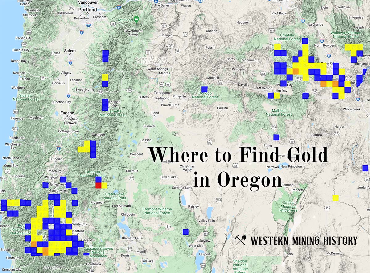
"Where to Find Gold in Oregon" looks at the density of modern placer mining claims along with historical gold mining locations and mining district descriptions to determine areas of high gold discovery potential in Oregon. Read more: Where to Find Gold in Oregon.