The Copper Glance Mine is a copper mine located in Okanogan county, Washington at an elevation of 5,600 feet.
About the MRDS Data:
All mine locations were obtained from the USGS Mineral Resources Data System. The locations and other information in this database have not been verified for accuracy. It should be assumed that all mines are on private property.
Mine Info
Elevation: 5,600 Feet (1,707 Meters)
Commodity: Copper
Lat, Long: 48.75222, -120.30222
Map: View on Google Maps
Satelite View
MRDS mine locations are often very general, and in some cases are incorrect. Some mine remains have been covered or removed by modern industrial activity or by development of things like housing. The satellite view offers a quick glimpse as to whether the MRDS location corresponds to visible mine remains.
Copper Glance Mine MRDS details
Site Name
Primary: Copper Glance Mine
Secondary: Craggy Peak
Commodity
Primary: Copper
Secondary: Gold
Secondary: Silver
Tertiary: Iron
Location
State: Washington
County: Okanogan
District: Methow Valley Mining District ; Eightmile Creek Area
Land Status
Land ownership: National Forest
Note: the land ownership field only identifies whether the area the mine is in is generally on public lands like Forest Service or BLM land, or if it is in an area that is generally private property. It does not definitively identify property status, nor does it indicate claim status or whether an area is open to prospecting. Always respect private property.
Administrative Organization: In Okanogan National Forest
Holdings
Not available
Workings
Type: Surface/Underground
Ownership
Owner Name: Copper Glance Mining Co.
Home Office: Seattle, Wa.
Years: 1947 - 1952
Owner Name: R. E. Kucera
Years: 1992 -
Production
Not available
Deposit
Record Type: Site
Operation Category: Past Producer
Operation Type: Unknown
Year First Production: 1914
Discovery Method: Ore-Mineral In Place
Years of Production:
Organization:
Significant: N
Deposit Size: S
Physiography
General Physiographic Area: Pacific Mountain System
Physiographic Province: Cascade-Sierra Mountains
Physiographic Section: Northern Cascade Mountains
Mineral Deposit Model
Not available
Orebody
Form: DISSEMINATED IN FRACTURE
Structure
Type: R
Description: Eightmile Creek Fault Trends N30w. It Starts About 30 Mi To The South And Extends Into British Columbia, Where It Becomes Part Of The Frazer River Fault System. Near Mine Fault Dips Steeply West. Adjacent Rocks Are Commonly Sheared And Brecciated; On East Side Rocks Are Foliated Up To 3 Mi From Fault. Throw On Fault Is Unknown But Must Be Large Based On Opposing Rock Types.
Alterations
Not available
Rocks
Not available
Analytical Data
Analytical Data: LOW VALUES IN CU, AU, AND AG OVER MINABLE WIDTHS.
Materials
Ore: Gold
Ore: Hematite
Ore: Tetrahedrite
Ore: Pyrite
Ore: Chalcopyrite
Ore: Chalcocite
Gangue: Quartz
Gangue: Barite
Gangue: Calcite
Comments
Comment (Deposit): DEPOSIT HAS BEEN GIVEN THE INFORMAL NAME OF A BRECCIA PIPE CU DEPOSIT, FOR WHICH THERE IS NO PUBLISHED MODEL. FRACTURE ZONE IN ANDESITE 80-100 FT WIDE IS MINERALIZED IN PLACES AT COPPER GLANCE MINE. ADDITIONALLY, AREA CONTAINS TOURMALINE-BEARING BRECCIA PIPES AND ALTERED ROCK
Comment (Workings): 200 FT ADIT, 50 FT ADIT, AND OPEN CUTS.
Comment (Location): UNSURVEYED. NEAR COPPER GLANCE CREEK ABOUT 0.75 MI WEST OF EIGHTMILE CREEK. MINERALIZED AREA EXTENDS INTO SECS. 23-26 AND 34
Comment (Development): R.E. KUCERA WAS EXPLORING MINERALIZED AREAS OF ANDESITE OF ISABELLA RIDGE IN AND NEAR COPPER GLANCE MINE
Comment (Deposit): 12 UNPATENTED CLAIMS AND A MILLSITE. ; INFO.SRC : 1 PUB LIT
Comment (Geology): MINERALIZATION IS IN SMALL SHEARS IN ANDESITIC TUFFS AND BRECCIAS CUT BY SEVERAL PLAGIOCLASE PORPHYRY DIKES. ANDESITE AND BASALT FLOWS PRESENT LOCALLY, PARTICULARLY IN UPPER PART, AND RHYOLITIC OR DACITIC TUFF AND BRECCIA ARE FOUND LOCALLY IN MAFIC ROCKS. MUDFLOWS ARE ALSO FOUND IN THIS SEQUENCE. THIN LENTICULAR BEDS OF SEDIMENTARY ROCKS ARE INTERLAYERED WITH VOLCANIC ROCKS. THESE FORMED IN AN ISLAND ARC SETTING
References
Reference (Deposit): STAATZ M.H., AND OTHERS, 1971, MINERAL RESOURCES OF THE PASAYTEN WILDERNESS AREA, WASHINGTON: U.S. GEOLOGICAL SURVEY BULLETIN 1325, P. 22, 43, 44, 106, PL. 1-2.
Reference (Deposit): DERKEY, R.E., JOSEPH, N.L., AND LASMANIS, RAYMOND, 1990, METAL MINES OF WASHINGTON - PRELIMINARY REPORT: WASHINGTON DIVISION OF GEOLOGY AND EARTH RESOURCES OPEN-FILE REPORT 90-18, P. 188.
Reference (Deposit): DERKEY, R.E., GULICK, C.W., LINGLEY, W.S., JR., 1993, WASHINGTON'S MINERAL INDUSTRY - 1992: WASHINGTON GEOLOGY, V. 21, NO. 1, P. 3-25.
Reference (Deposit): HUNTTING, M.T., 1956, INVENTORY OF WASHINGTON MINERALS - PART II, METALLIC MINERALS: WASHINGTON DIVISION OF MINES AND GEOLOGY BULLETIN 37, V. 1, P. 63.
Washington Gold

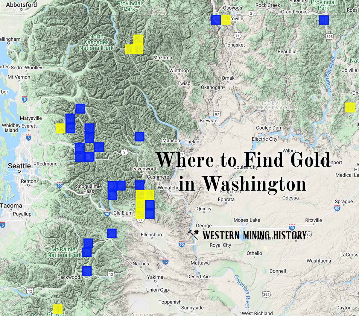
"Where to Find Gold in Washington" looks at the density of modern placer mining claims along with historical gold mining locations and mining district descriptions to determine areas of high gold discovery potential in Arizona. Read more: Where to Find Gold in Washington.