The Copper Cliff Mine is a copper mine located in Adams county, Idaho at an elevation of 5,200 feet.
About the MRDS Data:
All mine locations were obtained from the USGS Mineral Resources Data System. The locations and other information in this database have not been verified for accuracy. It should be assumed that all mines are on private property.
Mine Info
Elevation: 5,200 Feet (1,585 Meters)
Commodity: Copper
Lat, Long: 45.1036, -116.67580
Map: View on Google Maps
Satelite View
MRDS mine locations are often very general, and in some cases are incorrect. Some mine remains have been covered or removed by modern industrial activity or by development of things like housing. The satellite view offers a quick glimpse as to whether the MRDS location corresponds to visible mine remains.
Copper Cliff Mine MRDS details
Site Name
Primary: Copper Cliff Mine
Secondary: Silver King
Commodity
Primary: Copper
Secondary: Silver
Tertiary: Gold
Location
State: Idaho
County: Adams
District: Seven Devils District
Land Status
Land ownership: National Forest
Note: the land ownership field only identifies whether the area the mine is in is generally on public lands like Forest Service or BLM land, or if it is in an area that is generally private property. It does not definitively identify property status, nor does it indicate claim status or whether an area is open to prospecting. Always respect private property.
Administrative Organization: Payette National Forest
Holdings
Type: Located Claim
Workings
Type: Surface
Ownership
Owner Name: Alta Gold Co.
Percent: 100.0
Home Office: Council, Idaho, 83612
Years: 1989 -
Owner Name: Silver King Mines, Inc.
Production
Year: 1976
Time Period: 1972-1976
Year: 1972
Material type: CON CU AG
Description: Ap_Grade: ^40 % Cu, 20 Oz Ag/Ton
Deposit
Record Type: Site
Operation Category: Past Producer
Operation Type: Surface-Underground
Milling Method: Flotation
Year First Production: 1972
Discovery Method: Ore-Mineral In Place
Years of Production:
Organization:
Significant: N
Deposit Size: S
Physiography
General Physiographic Area: Intermontane Plateaus
Physiographic Province: Columbia Plateau
Physiographic Section: Payette Section
Physiographic Detail: Seven Devils Mountains
Mineral Deposit Model
Not available
Orebody
Form: POD/LENS
Structure
Type: L
Description: Ne-Trending Folding
Alterations
Alteration Type: L
Alteration Text: Epidote, Chlorite, Sericite, Calcite
Rocks
Name: Keratophyre
Role: Associated
Age Type: Associated Rock Unit
Age Young: Late Triassic
Name: Keratophyre
Role: Associated
Age Type: Associated Rock
Age Young: Late Triassic
Name: Keratophyre
Role: Associated
Age Type: Host Rock
Age Young: Late Triassic
Analytical Data
Not available
Materials
Ore: Bornite
Ore: Malachite
Ore: Chrysocolla
Ore: Chalcopyrite
Ore: Chalcocite
Ore: Copper
Gangue: Ilmenite
Gangue: Hematite
Gangue: Pyrite
Comments
Comment (Reserve-Resource): Only 200,000 Short Tones Of Low Grade Ore Remain. Silver King Mines, Inc., Communication With Wfoc, May 3, 1984.
Comment (Reserve-Resource): Grade Calculated On Estimated Mill Recovery Of 80 Percent For Copper And Silver.
Comment (Location): Original coordinates for line#1 were: lat/long NAD27 45-6-20N 116-40-42W (45.10556 -116.67833); UTM N4994500 E525300 Z11N; PLSS line# 1: Meridian- Boise, TWNSHP 020N, RNG 003W, Sect 02,03, Sect_fract
Comment (Production): Mine Was Developed In 1971 With Production Beginning In Late 1971. Production Came From An Underground Operation Until 1974 When Open Pitting Was Begun. Production Is Ongoing. Mine Ceased Operation In 1981. Reserves At The Property Are 200,000 S.T. At Low Grade Ore. The Operators Have No Plans To Re-Open The Mine In The Forseeable Future. The On-Site Concentrator Was Completely Refurbished In 1982, And Will Go On-Stream In July 1984, Processing Ore From The The Bayhorse, Iron Dyke, And Red Lodge Mines.
Comment (Reserve-Resource): At Production Rate Of 800 Tons/Day, Item 1 Reserves Good For 8 Years; Item 2 Has Been Mined And Stockpiled
Comment (Production): Items 8 And 9 Production For Sept. 1972 - Nov. 1973 ; Mill Treated 225 - 250 Tons/Day In 1972 , By 1973 Production Up To 800 Tons/Day; Item 17 From 10 Cars Of Ore
Comment (Workings): Mine Was Started Underground, Is Now An Open-Pit
References
Reference (Deposit): Morganti, J. M., 1972, Geology And Ore Deposits Of The Cuprum Area, Seven Devils Mining District, Hells Canyon, Idaho: Pullman, Wash., Wash. State Univ., M S Thesis, 153 P.
Reference (Deposit): Idaho Dept. Of Labor And Industrial Services, First Annual Report Addendum, July 1 , 1974 - June 30 , 1975 , 95 P.
Reference (Deposit): Long, R.C., 1976 , Geology And Mineral Deposits Of The Red Ledge Mine Area, Adams County, Idaho: Corvallis, Oregon, Oregon State Univ., M.S. Thesis, 115 P.
Reference (Deposit): Spokane Chronicle, Jan. 31 , 1973 ; Nov. 9 , 1973
Reference (Deposit): Mining Record, Dec. 6 , 1972
Reference (Deposit): 1975 Compile Idaho Dept. Labor And Ind. Services, First Ann. Rept
Reference (Deposit): John Kauffman Mas Deposit Summary Report On Copper Cliff Mine.
Reference (Deposit): U.S. Bureau Of Mines Liaison Office Report On Mining Operations, 1972 And 1977.
Reference (Deposit): Mesa Report December 1975.
Reference (Deposit): Havenstrite, Stuart, Executive Vice President, Silver King Mines, Inc., Personal Communications With Russell G. Raney, Wfoc, May 3, 1984.
Reference (Deposit): Mining Record, 3-22-89, P1.
Reference (Deposit): The Miner'S News, 6-89, P.6b.
Reference (Reserve-Resource): American Mines Handbook 1989, P.127.
Idaho Gold

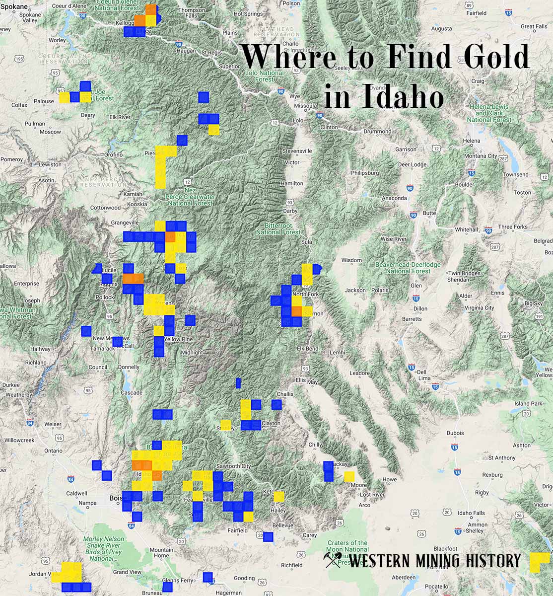
"Where to Find Gold in Idaho" looks at the density of modern placer mining claims along with historical gold mining locations and mining district descriptions to determine areas of high gold discovery potential in Idaho. Read more: Where to Find Gold in Idaho.