The Lucille Mine is a zinc and lead mine located in Stevens county, Washington at an elevation of 3,901 feet.
About the MRDS Data:
All mine locations were obtained from the USGS Mineral Resources Data System. The locations and other information in this database have not been verified for accuracy. It should be assumed that all mines are on private property.
Mine Info
Elevation: 3,901 Feet (1,189 Meters)
Commodity: Zinc, Lead
Lat, Long: 48.95028, -117.55417
Map: View on Google Maps
Satelite View
MRDS mine locations are often very general, and in some cases are incorrect. Some mine remains have been covered or removed by modern industrial activity or by development of things like housing. The satellite view offers a quick glimpse as to whether the MRDS location corresponds to visible mine remains.
Lucille Mine MRDS details
Site Name
Primary: Lucille Mine
Secondary: Owen
Secondary: Boundary Silver-Lead
Commodity
Primary: Zinc
Primary: Lead
Secondary: Silver
Tertiary: Cadmium
Tertiary: Tungsten
Tertiary: Gallium
Location
State: Washington
County: Stevens
District: Northport District
Land Status
Not available
Holdings
Not available
Workings
Type: Unknown
Ownership
Owner Name: Frank Nettig And Joseph Zoldok
Owner Name: Pacific Northwest Mining Co.
Production
Not available
Deposit
Record Type: Site
Operation Category: Past Producer
Deposit Type: Replacement
Operation Type: Unknown
Year First Production: 1927
Discovery Year: 1910
Discovery Method: Ore-Mineral In Place
Years of Production:
Organization:
Significant: N
Deposit Size: S
Physiography
General Physiographic Area: Rocky Mountain System
Physiographic Province: Northern Rocky Mountains
Physiographic Detail: Okanogan Highlands
Mineral Deposit Model
Not available
Orebody
Form: IRREGULAR
Structure
Type: R
Description: On Se Limb Of Sw Plunging Syncline
Alterations
Not available
Rocks
Name: Lamprophyre
Role: Associated
Age Type: Host Rock
Age Young: Late Cambrian
Name: Lamprophyre
Role: Associated
Age Type: Host Rock Unit
Age Young: Late Cambrian
Analytical Data
Not available
Materials
Ore: Galena
Ore: Tetrahedrite
Ore: Scheelite
Ore: Sphalerite
Gangue: Pyrite
Comments
Comment (Location): ON EAST SLOPE OF RED TOP MOUNTAIN.
Comment (Development): ECON.COM: ORE CONTAINS TRACE OF GALLIUM
Comment (Workings): MINE DEVELOPED BY TWO ADITS, ONE 140 FT. ABOVE THE OTHER, SOME STOPING ABOVE UPPER ADIT.
Comment (Deposit): ORE IS IN IRREGULAR MINERALIZED ZONES IN MARBLE ASSOCIATED WITH QUARTZ VEINS AND LAMPROPHYRE DIKES. SOME CONCENTRATED ALONG CONTACT BETWEEN MARBLE AND OVERLYING PHYLLITE. MARBLE ABOUT 90 FT. THICK.
References
Reference (Deposit): HUNTTING, M.T. 1956, INVENTORY OF WASHINGTON MINERALS PART II METALLIC MINERALS: WASH. DIV. MINES AND GEOL. BULL. 37 VOL. 1, P. 378
Reference (Deposit): WEAVER, C.E., 1920, MINERAL RESOURCES OF STEVENS COUNTY: WASHINGTON GEOLOGICAL SURVEY BULL. 20, P. 298-299
Reference (Deposit): YATES, R.G., 1964, GEOLOGIC MAP AND SECTIONS OF THE DEEP CREEK AREA, STEVENS AND PEND OREILLE COUNTIES, WASHINGTON: U.S. GEOLOGICAL SURVEY MISC. GEOL. INV. MAP I-412
Reference (Deposit): 1910 DIREXPL E. O. OWEN
Reference (Deposit): 1926 DIREXPL BOUNDARY SILVER LEAD CO.
Reference (Deposit): 1944 GEOLMAP C.D. CAMPBELL - OPEN FILE MAP.
Reference (Deposit): 1952 DIREXPL PACIFIC NORTHWEST MINING CO.
Reference (Deposit): 1954 GEOLMAP R. G. YATES - U.S.G.S. MF-137 AND U.S.G.S. MAP I-412
Reference (Production): U.S.B.M. INF. CIRC. 7872
Washington Gold

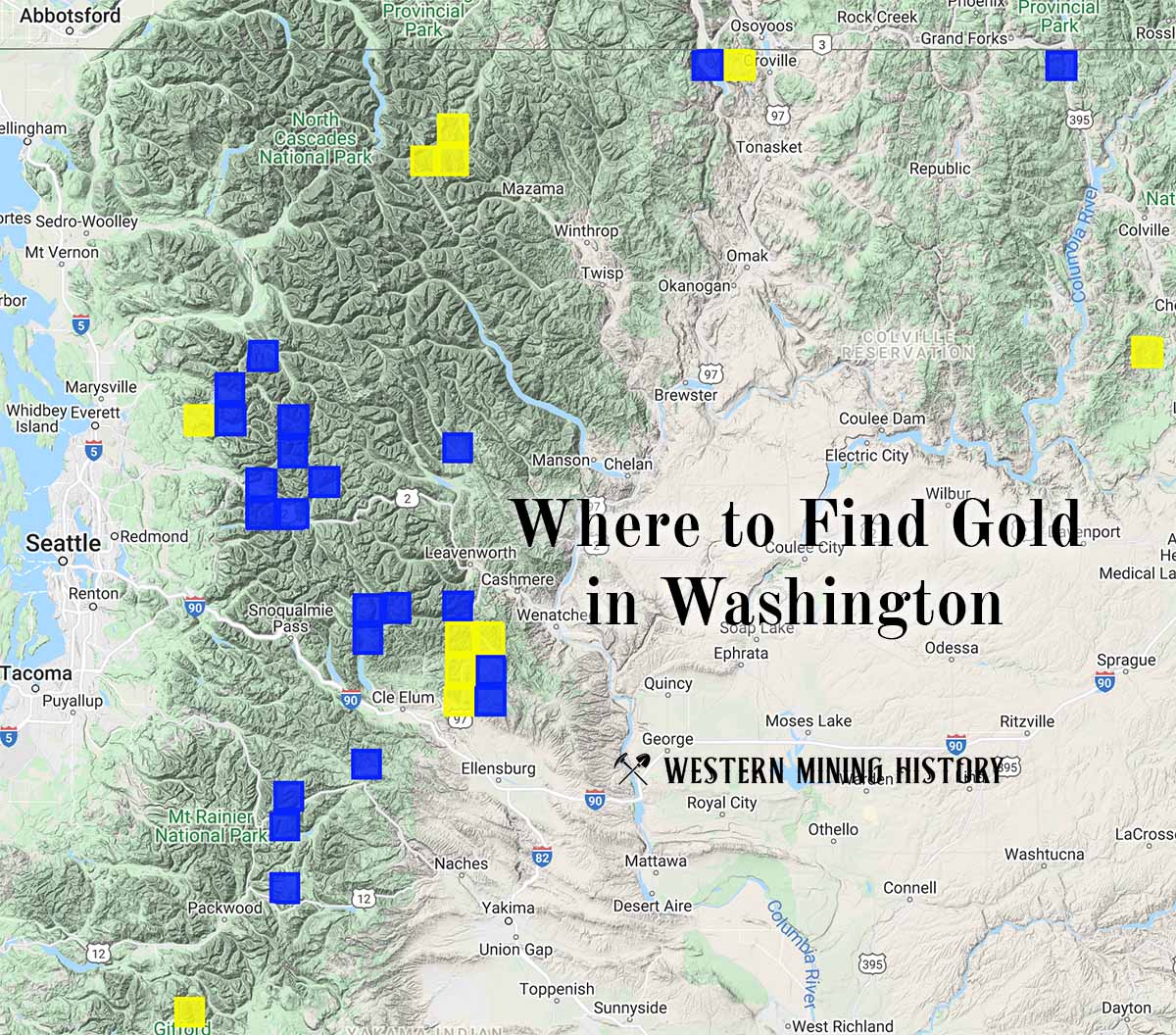
"Where to Find Gold in Washington" looks at the density of modern placer mining claims along with historical gold mining locations and mining district descriptions to determine areas of high gold discovery potential in Arizona. Read more: Where to Find Gold in Washington.