The Germania Consolidated Mine is a tungsten mine located in Stevens county, Washington at an elevation of 3,199 feet.
About the MRDS Data:
All mine locations were obtained from the USGS Mineral Resources Data System. The locations and other information in this database have not been verified for accuracy. It should be assumed that all mines are on private property.
Mine Info
Elevation: 3,199 Feet (975 Meters)
Commodity: Tungsten
Lat, Long: 47.99167, -118.11056
Map: View on Google Maps
Satelite View
MRDS mine locations are often very general, and in some cases are incorrect. Some mine remains have been covered or removed by modern industrial activity or by development of things like housing. The satellite view offers a quick glimpse as to whether the MRDS location corresponds to visible mine remains.
Germania Consolidated Mine MRDS details
Site Name
Primary: Germania Consolidated Mine
Secondary: Keeth
Secondary: Industrial Tungsten
Secondary: Norton
Secondary: Green
Commodity
Primary: Tungsten
Secondary: Molybdenum
Secondary: Silver
Tertiary: Copper
Tertiary: Bismuth
Tertiary: Lead
Location
State: Washington
County: Stevens
District: Deer Trail District
Land Status
Not available
Holdings
Not available
Workings
Type: Unknown
Ownership
Owner Name: Germania Consolidated Mines, Inc.
Production
Not available
Deposit
Record Type: Site
Operation Category: Past Producer
Deposit Type: Vein
Operation Type: Unknown
Discovery Method: Ore-Mineral In Place
Years of Production:
Organization:
Significant: N
Deposit Size: S
Physiography
General Physiographic Area: Rocky Mountain System
Physiographic Province: Northern Rocky Mountains
Physiographic Detail: Okanogan Highlands - Huckleberry Mountains
Mineral Deposit Model
Not available
Orebody
Form: PODS, LENTICULAR
Structure
Type: L
Description: Greisenized
Alterations
Alteration Type: L
Alteration Text: Wall Rock Bordering Veins Is Greisenized And Contains Some Sulfides.
Rocks
Name: Quartz Monzonite
Role: Associated
Age Type: Associated Rock Unit
Age Young: Late Cretaceous
Name: Quartz Monzonite
Role: Associated
Age Type: Host Rock Unit
Age Young: Neoproterozoic
Name: Quartz Monzonite
Role: Associated
Age Type: Associated Rock
Age Young: Late Cretaceous
Name: Quartz Monzonite
Role: Associated
Age Type: Host Rock
Age Young: Late Cretaceous
Analytical Data
Analytical Data: REPRESENTATIVE SAMPLE CONTAINED 0.39% WO3, 0.19% MO, 0.6 OZ/TON AG
Materials
Ore: Chalcopyrite
Ore: Scheelite
Ore: Wolframite
Ore: Molybdenite
Ore: Bismuthinite
Ore: Ferberite
Gangue: Pyrite
Gangue: Magnetite
Gangue: Quartz
Comments
Comment (Development): ECON.COM: PYRITE AND MOLYBDENITE ARE CONTAMINANTS IN CONCENTRATES FROM JIGGING AND TABLING-FLOTATION CELLS MIGHT BE REQUIRED.
Comment (Workings): 220-FT SHAFT WITH 150 FT. DRIFTS AND 650 FT ADIT CROSSCUT WITH ABOUT 2,500 FT. DRIFTS AND RAISES WITH CONSIDERABLE STOPES.
Comment (Geology): PODS OF W MINERALS WITH MINOR MOLYBDENITE SPORADICALLY DISTRIBUTED IN THIN QUARTZ VEINS
Comment (Deposit): ROOF PENDANT OF PRECAMBRIAN QUARTZITE AND SLATE ON RIDGE ABOVE MINE IS PART OF TOGO FORMATION.
Comment (Commodity): 3 SUB-PARALLEL VEINS GENERALLY LESS THAN 8 INCHES THICK IN LOWER LEVELS; 6 TO 15 INCHES THICK IN UPPER WORKINGS.
Comment (Production): 100,000 DOLLARS IN FERBERITE PRODUCED PRIOR TO 1945; 561 STU OF WO3 PRODUCED 1951-1955 FROM 19,921 LB CONCENTRATES
References
Reference (Deposit): 1941 GEOLMAP PAGE, L.R. MINE MAP
Reference (Deposit): 1943 GEOLMAP HOBBS, S.W. MINE MAP
Reference (Deposit): 1952 GEOLMAP PUFFETT, W.P., MINE MAP
Reference (Production): HUNTTING, M.T. 1956, WASH. DIV. MINES GEOL. BULL. 37
Reference (Deposit): PURDY, C.P. JR. 1954, MOLYBDENUM OCCURRENCES OF WASHINGTON: WASH. DIV. MINES AND GEOL. RPT. OF INV. 18, P. 70-72
Reference (Deposit): HUNTTING, M.T., 1956, INVENTORY OF WASHINGTON MINERALS PART II METALLIC MINERALS; WASHINGTON DIV. MINES AND GEOL.: BULL. 37 V. 1, P. 348
Reference (Deposit): CULVER, H.E, AND BROUGHTON, W.A, 1945, TUNGSTEN RESOURCES OF WASHINGTON: WASH. DEPT. CONSERV. AND DEV. DIV. OF GEOL. BULL. 34, P. 78-79
Reference (Deposit): BECRAFT, G.E. AND WEIS, P.L., 1963, GEOLOGY AND MINERAL DEPOSITS OF THE TURTLE LAKE QUADRANGLE, WASHINGTON: USGS BULL. 1131, P. 70-71, PL. 6
Washington Gold

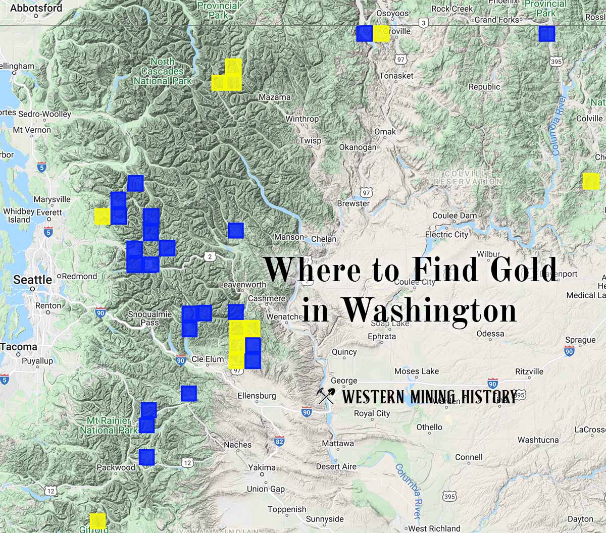
"Where to Find Gold in Washington" looks at the density of modern placer mining claims along with historical gold mining locations and mining district descriptions to determine areas of high gold discovery potential in Arizona. Read more: Where to Find Gold in Washington.