The Hall Mountain is a thorium mine located in Boundary county, Idaho at an elevation of 3,399 feet.
About the MRDS Data:
All mine locations were obtained from the USGS Mineral Resources Data System. The locations and other information in this database have not been verified for accuracy. It should be assumed that all mines are on private property.
Mine Info
Elevation: 3,399 Feet (1,036 Meters)
Commodity: Thorium
Lat, Long: 48.98584, -116.41887
Map: View on Google Maps
Satelite View
MRDS mine locations are often very general, and in some cases are incorrect. Some mine remains have been covered or removed by modern industrial activity or by development of things like housing. The satellite view offers a quick glimpse as to whether the MRDS location corresponds to visible mine remains.
Hall Mountain MRDS details
Site Name
Primary: Hall Mountain
Secondary: Hall Mountain Thorium Group
Secondary: Hall Mountain Group
Secondary: Hall Mtn. Group
Secondary: Hall Mountain Thorite
Secondary: Golden Sceptre
Secondary: Wawa
Secondary: TMU
Secondary: T.M.U.
Secondary: The Man Upstairs
Secondary: Old Outcrop
Secondary: Pyrite Zone
Secondary: Berringer
Secondary: Barringer Prospect
Commodity
Primary: Thorium
Secondary: Copper
Secondary: REE
Tertiary: Uranium
Location
State: Idaho
County: Boundary
District: Moyie-Yaak District
Land Status
Land ownership: BLM Administrative Area
Note: the land ownership field only identifies whether the area the mine is in is generally on public lands like Forest Service or BLM land, or if it is in an area that is generally private property. It does not definitively identify property status, nor does it indicate claim status or whether an area is open to prospecting. Always respect private property.
Holdings
Type: Located Claim
Workings
Type: Underground
Ownership
Owner Name: Hall Mountain Thorite (Bruce Berringer)
Percent: 25.00
Home Office: Washington
Info Year: 1982
Owner Name: Nuclear Fuels Corp.
Percent: 75.00
Home Office: Washington
Info Year: 1983
Production
Not available
Deposit
Record Type: Site
Operation Category: Past Producer
Operation Type: Surface-Underground
Discovery Year: 1939
Years of Production:
Organization:
Significant: Y
Deposit Size: S
Physiography
General Physiographic Area: Rocky Mountain System
Physiographic Province: Northern Rocky Mountains
Mineral Deposit Model
Not available
Orebody
Name: Old Outcrop
Form: Fissure vein, Tabular
Name: Wawa
Form: Fissure vein, Tabular
Name: Golden Sceptre
Form: Fissure vein, Tabular
Name: Pyrite Zone
Form: Fissure vein, Lenticular
Structure
Not available
Alterations
Alteration Type: L
Alteration: Propylitic
Rocks
Not available
Analytical Data
Not available
Materials
Ore: Thorite
Gangue: Albite
Gangue: Calcite
Gangue: Chlorite
Gangue: Pyrite
Gangue: Sphene
Gangue: Quartz
Comments
Comment (Geology): Nelson Batholith May Be Distant Magma Source For Thorium Bearing Fluids
Comment (Reserve-Resource): Yttrium
Comment (Deposit): Property Is Made Up Of Four Individual Deposits, All Located On The West Slope Of Hall Mountain. Included Are The Golden Sceptre, Wawa, Old Outcrop And Pyrite Zone. The Tmu Prospect Was Not Included In Evaluation. Minor Uranium Is Noted In Thorium Area. Also Located In Section 13.
Comment (Reserve-Resource): The Group Consists Of Golden Sceptre, Wawa, Old Outcrop, Pyrite Zone, And Tmu. Ore Mined Ug And Op From 1939 To 1949. Second Owner Is Hall Mountain Thorite (Bruce Berringer)
Comment (Geology): Thorium Content Varies From Trace To Over 40 Percent Copper, Lead, Silver And Gold Values Were Noted In A Company Report Now In U.S. Bureau Of Mines Wfoc Files. (Reliability Unknown)
Comment (Production): Significant Development Has Occurred At The Golden Sceptre Mine For Copper And Silver; However, No Production Has Been Recorded Exploratory Mine Work At The Golden Sceptre Mine Exceeds 1500 Meters But Followed A Prospective Gold/Quartz Vein Rather Then The Thorium Rich Quartz/Calcite Vein.
References
Reference (Deposit): Young, J., M. Ballinger, C. Bloomster, M. Drost, W. Enderlin, S. Weakley, And M. H. Morgenstern. Economics Of Large-Scale Thorium Oxide Production; Assessment Of Domestic Resources. U.S. Doe Contract Ey-76-C-06-1830, 1980.
Reference (Deposit): Kiilsgaard, T.H. Descriptions Of Some Ore Deposits And Their Relationships To The Purcell Sills, Boundary County, Idaho. Idaho Bumines & Geol. Pamphlet No. 85, 1949, 33 Pp.
Reference (Deposit): Aughey, S. The Golden Sceptre Mining Company, Ltd. Private Co. Rep., Bumines WFOC Files, 1939, 8 Pp.
Reference (Deposit): Kauffman, J.D. Description And Evaluation Of The Wawa Prospect , Boundary County, Id. Bumines Mas Grant G0264004, 1977, 8pp.
Reference (Deposit): Anderson, Al. L. & C.N. Savage. Thorium And Rare Earths. Idaho Bumines & Geol., Spec. Rep. 1, 1949, Pp. 221-217.
Reference (Deposit): Staatz,M.H., Thorium-Rich Veins Of Hall Mountain In Northern Idaho. Econ. Geol. V. 66, 1972, Pp. 240-248.
Reference (Deposit): Staatz, M.H., T.J. Armbrustmacher, And Others. Principal Thorium Resources In The United States. U.S. Geol. Surv. Circ. No. 805, 1979.
Reference (Deposit): Newton, J.D., D. Lemoine, C. Adams, A. Anderson, And J. Shively. Study Of Two Idaho Thorite Deposits. Idaho Bumines And Geol. Pamphlet No. 122, 1960, 57 Pp.
Reference (Deposit): National Oceanic And Atmospheric Administration, Monthly Normals Of Temperature, Precipitation, And Heating And Cooling Degree Days 1941-1970. U.S. Dep. Of Commerce, Noaa Environ. Data Service, Idaho, 1970, 10 Pp.
Reference (Deposit): Lemoine, D. Thorite Deposits And General Geology Of The Hall Mountain Area, Boundary County, Idaho. Univ. Of Idaho Masters Thesis, 1959, 68 Pp.
Reference (Deposit): Hall Mountain Area, Boundary County, Idaho. Univ. Of Idaho Masters Thesis, 1959, 68 Pp.
Reference (Deposit): Long, K.R., Van Gosen. B.S., Foley, N.K., and Cordier, Daniel, 2010, The principal rare earth elements deposits of the United States--A summary of domestic deposits and a global perspective: U.S. Geological Survey Scientific Investigations Repoer 2010-5220, 103 p.
Idaho Gold

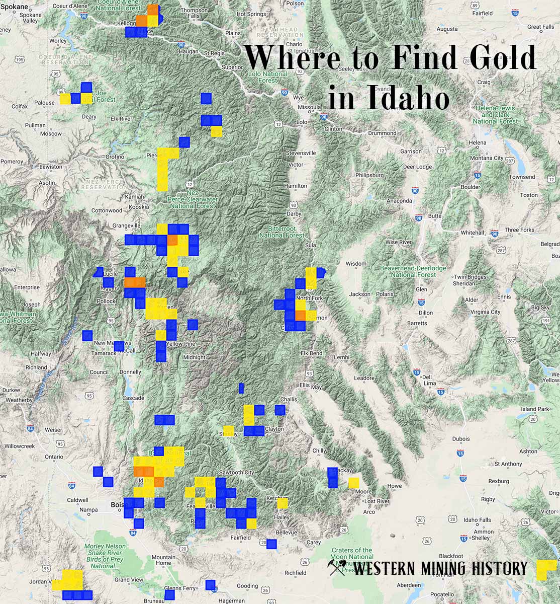
"Where to Find Gold in Idaho" looks at the density of modern placer mining claims along with historical gold mining locations and mining district descriptions to determine areas of high gold discovery potential in Idaho. Read more: Where to Find Gold in Idaho.