The Evening is a copper mine located in Asotin county, Washington at an elevation of 2,001 feet.
About the MRDS Data:
All mine locations were obtained from the USGS Mineral Resources Data System. The locations and other information in this database have not been verified for accuracy. It should be assumed that all mines are on private property.
Mine Info
Elevation: 2,001 Feet (610 Meters)
Commodity: Copper
Lat, Long: 46.01917, -116.93944
Map: View on Google Maps
Satelite View
MRDS mine locations are often very general, and in some cases are incorrect. Some mine remains have been covered or removed by modern industrial activity or by development of things like housing. The satellite view offers a quick glimpse as to whether the MRDS location corresponds to visible mine remains.
Evening MRDS details
Site Name
Primary: Evening
Secondary: Snake Wild & Scenic River
Commodity
Primary: Copper
Location
State: Washington
County: Asotin
Land Status
Land ownership: Unknown
Note: the land ownership field only identifies whether the area the mine is in is generally on public lands like Forest Service or BLM land, or if it is in an area that is generally private property. It does not definitively identify property status, nor does it indicate claim status or whether an area is open to prospecting. Always respect private property.
Holdings
Type: Unknown
Workings
Not available
Ownership
Owner Name: John Dodson
Info Year: 1909
Production
Not available
Deposit
Record Type: Site
Operation Category: Prospect
Operation Type: Surface
Mining Method: Unknown
Years of Production:
Organization:
Significant: N
Physiography
General Physiographic Area: Intermontane Plateaus
Physiographic Province: Columbia Plateau
Physiographic Section: Walla Walla Plateau
Mineral Deposit Model
Not available
Orebody
Not available
Structure
Not available
Alterations
Not available
Rocks
Not available
Analytical Data
Not available
Materials
Not available
Comments
Comment (Location): Political location in record is Asotin county, WA. Lat/long plot 3.4km inside adjacent Nez Perce county, ID. Original coordinates are lat/long NAD27 46-17-9N 116-56-22W (46.2858 -116.9394); UTM N5125589 E504664 Z11; PLSS Meridian- Willamette, 006 N, 047 E, Sect 05, Sect_fract SWSE. UTM agrees with lat/long. However, PLSS coords plot very far away, 46 01 10N 116 56 30W (46.02, -116.942), inside Asotin county. Difference of DMS lat- 16 minutes, long- 8 seconds, DD lat- 0.2658, long- 0.0026 Bib_ref is U.S. BUREAU OF MINES FILES (WFOC) so this will be difficult to check. Looks like the reporter typed 17 instead of 1 minutes. The lat minutes was so changed, using WGS84 datum. UTM was cleared.
Comment (Deposit): TRACES OF GOLD WERE DETECTED IN THE CHLORITIC/ARGILLITIC BEDDING CONTACT. THE COPPER IS LOW GRADE AND OCCURS AS DISSEMINATED MALACHITE
References
Reference (Deposit): U.S. BUREAU OF MINES FILES (WFOC).
Washington Gold

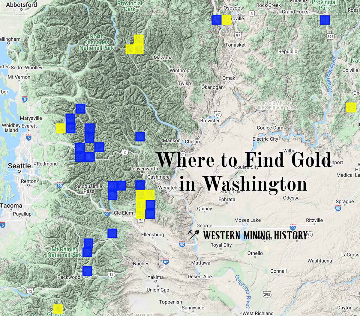
"Where to Find Gold in Washington" looks at the density of modern placer mining claims along with historical gold mining locations and mining district descriptions to determine areas of high gold discovery potential in Arizona. Read more: Where to Find Gold in Washington.