The Lemhi Pass Area is a thorium mine located in Lemhi county, Idaho.
About the MRDS Data:
All mine locations were obtained from the USGS Mineral Resources Data System. The locations and other information in this database have not been verified for accuracy. It should be assumed that all mines are on private property.
Mine Info
Satelite View
MRDS mine locations are often very general, and in some cases are incorrect. Some mine remains have been covered or removed by modern industrial activity or by development of things like housing. The satellite view offers a quick glimpse as to whether the MRDS location corresponds to visible mine remains.
Lemhi Pass Area MRDS details
Site Name
Primary: Lemhi Pass Area
Commodity
Primary: Thorium
Secondary: Uranium
Secondary: Copper
Location
State: Idaho
County: Lemhi
Land Status
Not available
Holdings
Not available
Workings
Not available
Ownership
Not available
Production
Not available
Deposit
Record Type: District
Operation Category: Prospect
Deposit Type: QUARTZ VEINS
Operation Type: Unknown
Years of Production:
Organization:
Significant:
Physiography
Not available
Mineral Deposit Model
Not available
Orebody
Not available
Structure
Type: R
Description: BELT SERIES ROCKS REGIONALLY TREND SW AND DIP 20 TO 50 DEGREES GENERALLY TO THE NORTH.
Type: L
Structure: FAULTING
Description: FAULTING OCCURED DURING TWO PERIODS: PRE-CHALLIS WHERE SMALL FAULTS TREND N25 - 40E, DIPPING STEEPLY NW, AND OTHERS TRENDING N15 - 20W. THE LONG YEARIAN FAULT (N 67 E, 68 SE) IS HORIZONTALLY OFFSET BY 6500 FT. POST CHALLIS FAULTING DEVELOPED THE LEMHI PASS (N70W STEEP), BULL MOOSE (N29-50W STEEP), AND DAN PATCH (N38W 50 - 90 SW) FAULTS. THESE THREE FAULTS CONVERGE AT THEIR NW TRENDS.
Alterations
Alteration Type: L
Alteration: SERICITIZATION
Alteration Text: BELT ROCKS ARE SLIGHTLY METAMORPHOSED AND SERITIZED.
Rocks
Not available
Analytical Data
Not available
Materials
Not available
Comments
Not available
References
Reference (Deposit): SHARP, W. N., AND CAUENDER, W. S., 1962 , GEOLOGY AND THORIUM BEARING DEPOSITS OF THE LEMHI PASS AREA, LEMHI CO., IDA., AND BEAVERHEAD CO., MONT.,: US GEOLOGICAL SURVEY BULL 1126 .
Reference (Deposit): GEACH, R. D., 1972 , MINES AND MINERAL DEPOSITS (EXCEPT FUELS), BEAVERHEAD CO., MONTANA,: MONTANA BUR. OF MINES AND GEOLOGY, BULL 85 .
Reference (Deposit): STAATZ, M. H., 1972 , GEOLOGY AND DESCRIPTION OF THE THORIUM BEARING VEINS, LEMHI PASS QUAD., IDAHO AND MONTANA: US GEOLOGICAL SURVEY BULL. 1351 .
Reference (Deposit): TRITES, A. F., AND TOOKER, E. W., 1953 , URANIUM AND THORIUM DEPOSITS IN EAST-CENTRAL IDAHO AND SOUTHWESTERN MONTANA: US GEOLOGICAL SURVEY BULL 988-H.
Idaho Gold

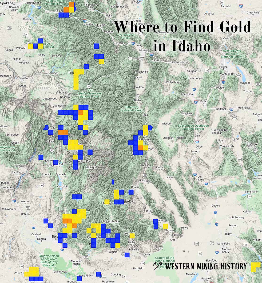
"Where to Find Gold in Idaho" looks at the density of modern placer mining claims along with historical gold mining locations and mining district descriptions to determine areas of high gold discovery potential in Idaho. Read more: Where to Find Gold in Idaho.