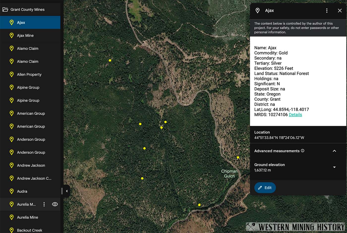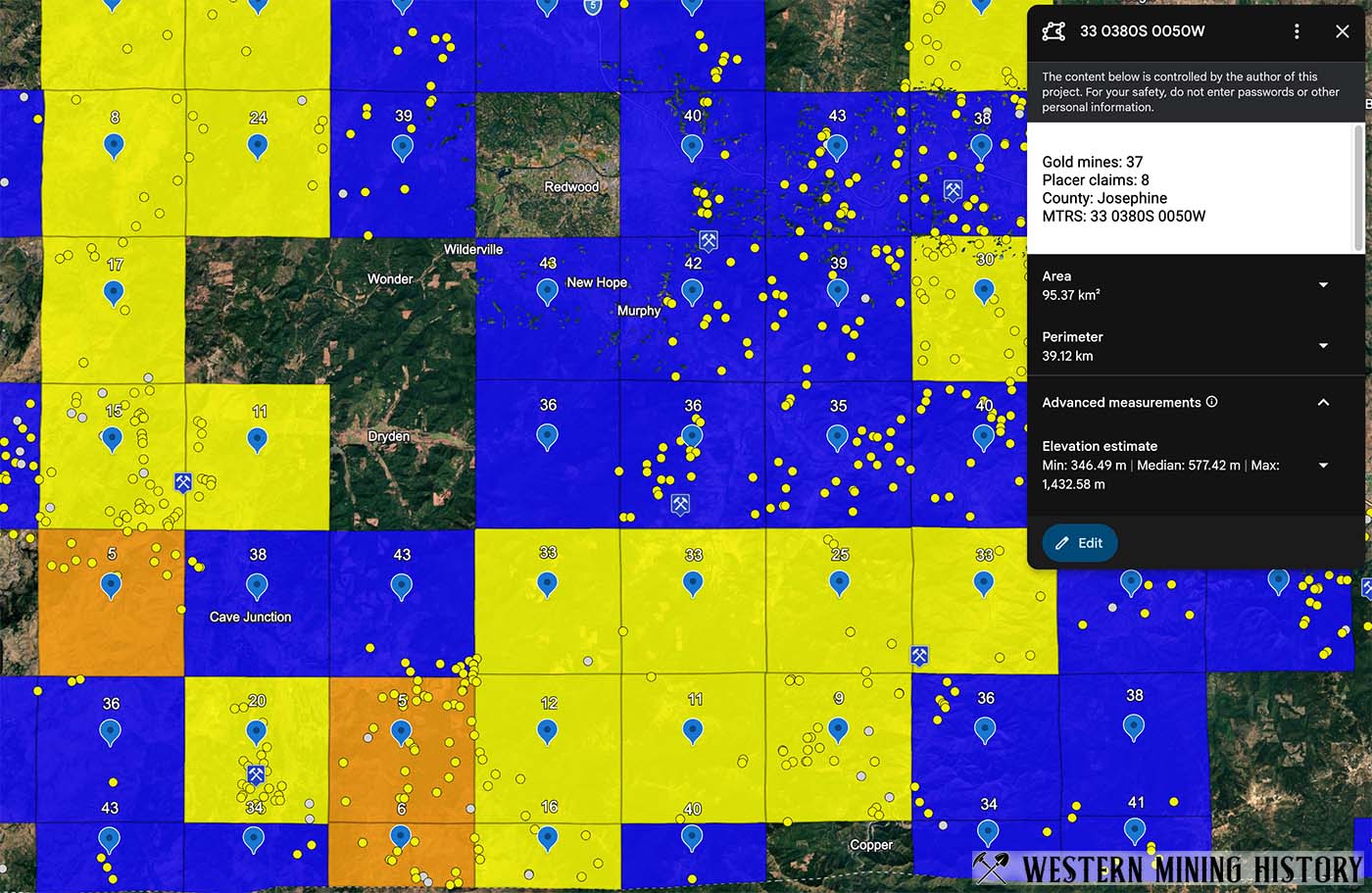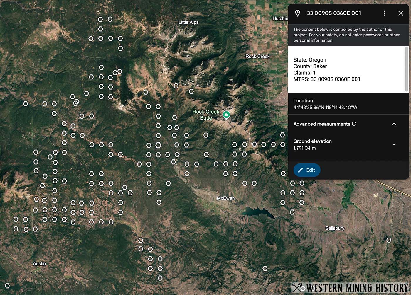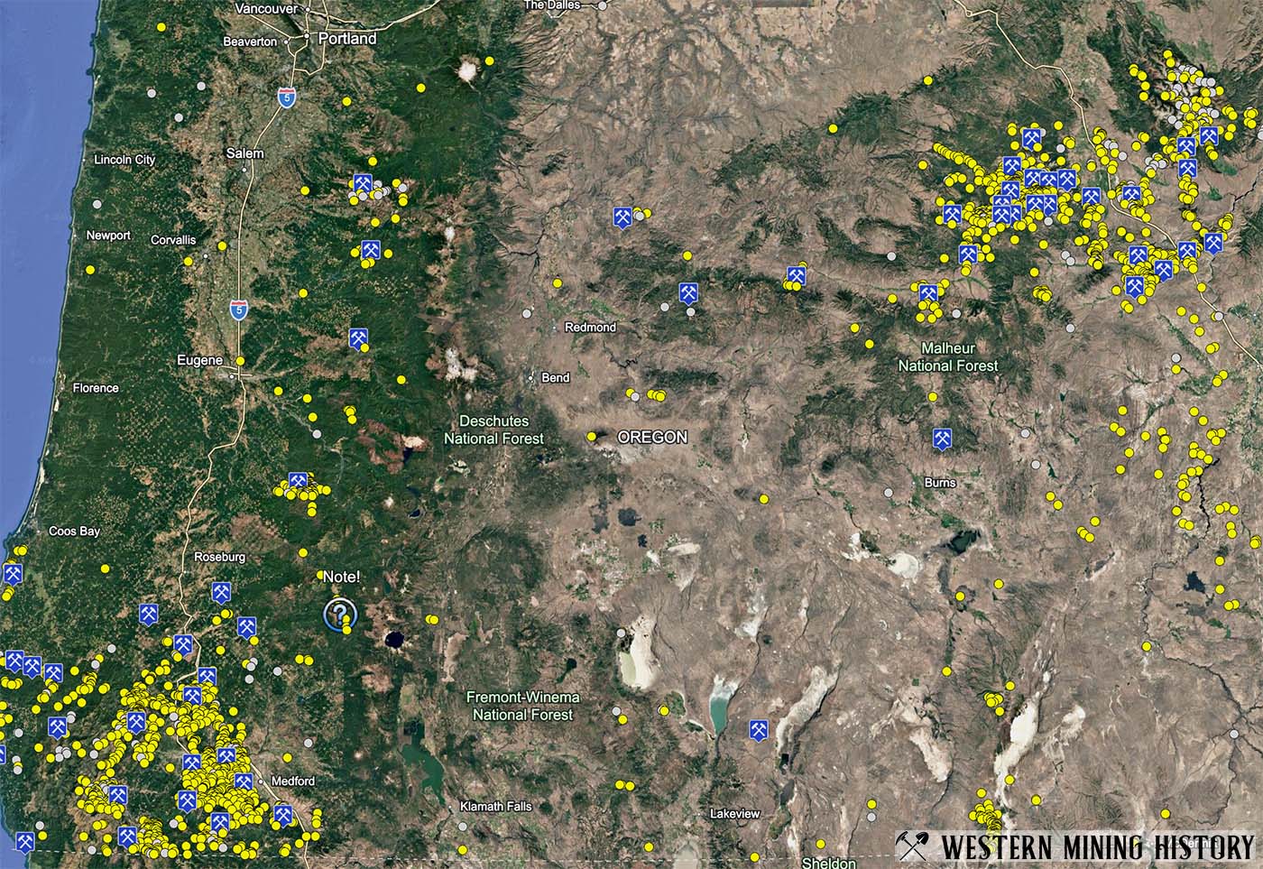
The Oregon Gold Map is a Gold Maps Enhanced product that includes spatial analysis designed to identify areas with high potential for placer gold discoveries. The map is designed for use with Google Earth, GIS software, and other applications that support KML data. The following files are included with this package:
- Locations of all Oregon mines listed in the USGS MRDS database with gold as a primary commodity
- Locations of all Oregon mines listed in the USGS MRDS database with gold as a secondary of tertiary commodity
- Oregon gold district locations
- Locations of all PLSS sections that contain active placer mining claims
- Analysis layer that summarizes data for mines and claims by township
- Ranking layer that identifies the top townships by density of placer claims and gold mines
This product is not intended to be an up to date source for mining claim locations. It is designed to illustrate broad trends in placer claim location related to gold deposits.
For additional information on this product, see the Gold Maps page.
There are no refunds on digital products. Please take some time to understand what you are buying. This package is intended for use in Google Earth or applications that can display KML data, it is not a mobile app. Please contact us before purchasing if you have questions.