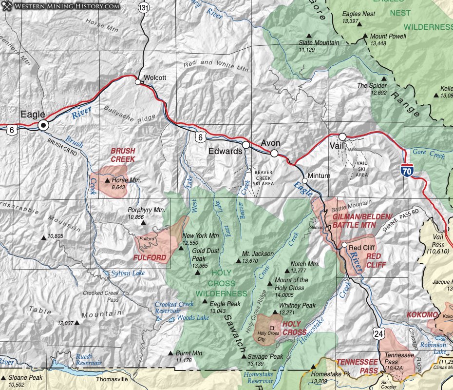
Battle Mountain District (aka Gilman District, aka Red Cliff District, aka Belden District)
The Battle Mountain District has been referred to as the Gilman District, the Red Cliff District and the Belden District. The ore deposits there are classic examples of replacement-type deposits.
On the northeast flank of the Sawatch Range in southeastern Eagle County, rich lead-silver ore was discovered in 1879 as prospectors spilled over the pass from nearby Leadville. Some $8 million of silver, gold and lead ore had been recovered from oxidized ore by 1900 (Tweto and Lovering, 1947). Below the oxidized zone, sulfide ore was discovered that was mainly zinc ore. The mines were eventually consolidated into one major operation that was a primary producer of zinc for many years.
Several types of ore deposits are found in the complex. Veins in Precambrian rocks contain pyritic gold and complex sulfide ores. Small veins in the Sawatch quartzite contain gold and silver telluride ores. Replacement deposits of pyritic gold and auriferous sideritic sulfide bodies and mantos (called also a blanket deposit) occur along bedding planes in quartzite. Chimneys of pyritic silver-copper ore occur in limestone and zinc sulfide ores are found as mantos in limestone. Although zinc was the main product in later years, enough gold was still recovered to cover the mining expenses.
Several towns grew up in this thriving area (Eberhart, 1979). The town of Gilman was founded in 1886 and Redcliff developed during the early boom times. Belden was described as the miners' answer to Indian cliff dwellings with cabins high up and on the tops of cliffs with mining along the cliff walls. Cleveland also developed between Gilman and Redcliff.
Brush Creek District
The Brush Creek District covers an area around that creek in east central Eagle County centered about Horse Mountain. Henderson (1926) listed 200,000 ounces of silver produced from 1913 to 1918 from steeply-dipping sedimentary beds. Vanderwilt (1947) describes the mineralization as northwest-trending veins with steep northerly dips in sandstone (probably Dakota). Silver occurred as cerargyrite (chloride) or horn silver. Additionally, uranium and vanadium occur unrelated to the silver mineralization.
Burns and McCoy District
The Burns and McCoy District consists of gold placers in gravels on benches above the Colorado River generally between those two towns. Parker (1974) states that the gold in these placers is very fine and difficult to recover due to the abundance of black sands. Although placer activity dates back to the 1890s, it peaked in the 1930s when 71.5 and 59 oz. of gold were recovered in 1934 and 1935 respectively from seven to eight larger operations.
Eagle River District
The Eagle River District was listed in Hill (1912). Henderson (1926) provides a large area for the Eagle River District, names it as including the Fairview Hill District (not listed in this compilation), but provides a location for the Fairview Hill District overlapping with the Tennessee Pass District (Lake County.) So here, we use a very large area of T7S, R 80-81S, for the location of the Eagle River District, encompassing identified mining activity along the drainage of Homestake Creek.
Vanderwilt (1947) describes the Eagle River District as synonymous with the Holy Cross District. In this compilation, we show it as adjacent to that district.
Fulford District
The Fulford District is listed in Hill (1912) and Henderson (1926), who notes that it overlaps the Mount Egley District. The Mount Egley District is not listed in this compilation because locations could not be found.
Vanderwilt (1947) briefly describes lead-silver mineralization in Paleozoic dolomites. Mindat.org also lists some pegmatite occurrences. The District occurs within the Sawatch Range where the Fulford stock and other smaller bodies intrude Proterozoic and Paleozoic rocks (Gabelman, 1949; Wallace et al., 1989). Areas around New York Mountain were found by USGS and U.S. Bureau of Mines surveys to contain anomalous metal contents (Wallace, Ibid.)
Eberhart (1969) effectively summarizes the mining history in his description of the town of Fulford. Beginning in 1890, two adjacent towns sprung up in an area of some 500 mining claims. The most successful was the Polar Star Mine. Some mines opened onto natural cliffs, the miners accessing the opening by being lowered down the cliff from above. Successive discoveries kept the area active until 1918.
Holy Cross District
The Holy Cross District was identified by Henderson (1926). Vanderwilt (1947) notes small veins with some high-grade gold, silver and some lead in Precambrian granite and schist. Lovering et al. (1978) attributes as much as $300K worth of gold to the Holy Cross District from 1880 to 1910.
The settlements of Holy Cross City and Gold Park developed about the same time (1880), but died by 1883 (Eberhart, 1969). The main producer was the Gold Park Company.