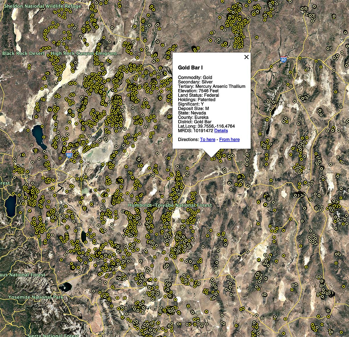
The Western Gold Atlas package contains over 60,000 gold mine locations, over 1,100 gold district locations, and consists of KMZ and CSV data files for use with navigation devices, Google Earth, or for research purposes. The source of the data is the USGS MRDS database.
Click here to purchase the Western Gold Atlas
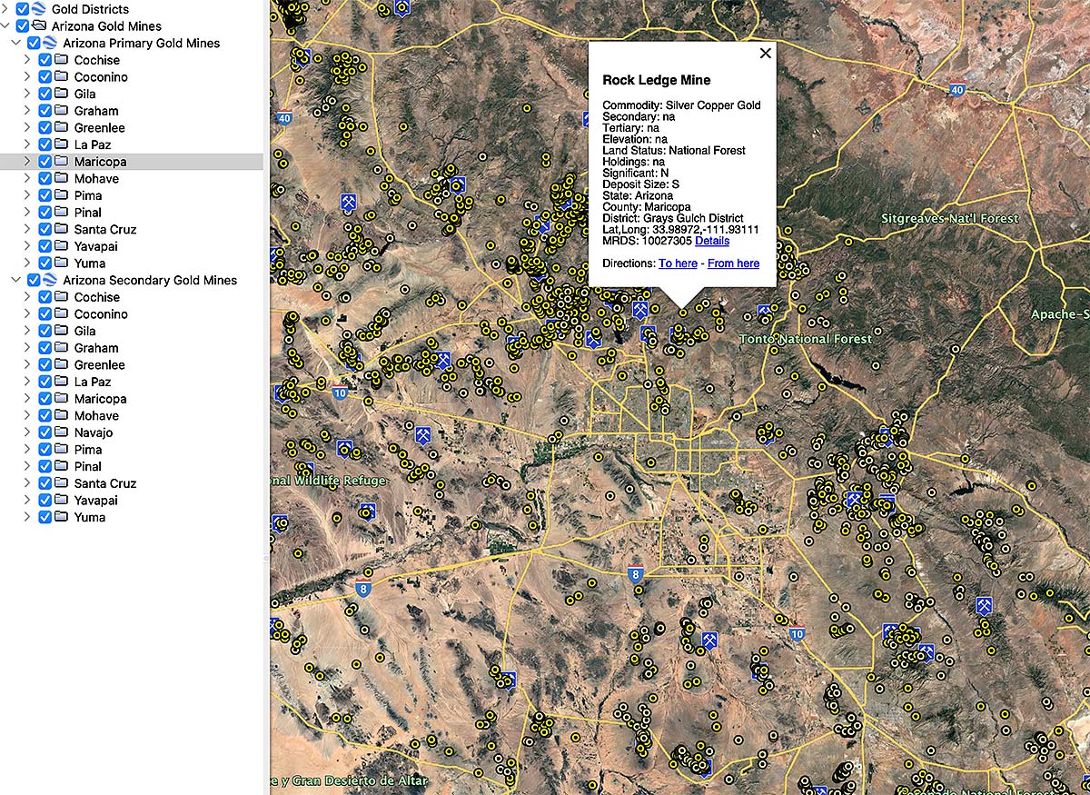
Gold mine data is included for the following states:
Arizona
California
Colorado
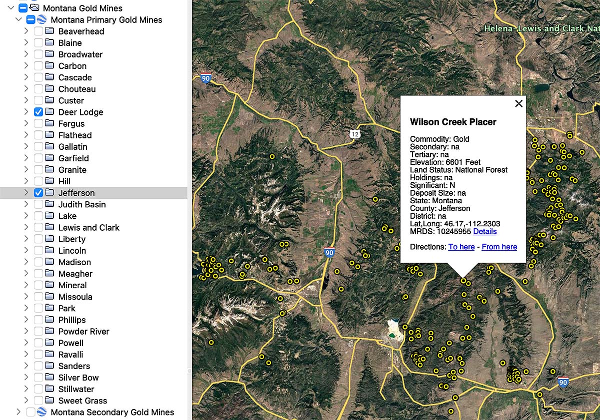
Idaho
Montana
Nevada
New Mexico
Oregon
South Dakota (Black Hills region only)
Utah
Washington
Wyoming
Gold Mine Data
Gold mine data is organized by state and county, and divided into two groups: one for mines with gold as a primary commodity, and a second that has combined mine records with gold as a secondary or tertiary commodity.
The CSV files can be used in applications like Google My Maps, spreadsheets, or GIS applications. The KMZ files are organized are ready to use in Google Earth Pro.
Important note on mine data: Although the USGS MRDS database contains a lot of valuable information, it is far from perfect. There are numerous duplicate mine records and records with bad coordinates. You can expect to see mines that are clearly in the wrong county or even sometimes the wrong state.
Despite these issues, the majority of the mine records are either precisely located, or at least located in close vicinity to the mine. Additional research using topo maps, USGS publications, or satellite imagery may be needed to find the mine features you are interested in.
Gold Districts
The term “mining district” commonly refers to a geographically delineated area that contains mineral deposits which are geologically or spatially related.
The WMH Western Gold Atlas includes over 1,100 gold district locations. Locations were compiled from reports by the USGS and state mining bureaus.