The Yellow Pine Deposit is a tungsten, gold, and antimony mine located in Valley county, Idaho.
About the MRDS Data:
All mine locations were obtained from the USGS Mineral Resources Data System. The locations and other information in this database have not been verified for accuracy. It should be assumed that all mines are on private property.
Mine Info
Elevation:
Commodity: Tungsten, Gold, Antimony
Lat, Long: 44.92694, -115.33167
Map: View on Google Maps
Yellow Pine Deposit MRDS details
Site Name
Primary: Yellow Pine Deposit
Commodity
Primary: Tungsten
Primary: Gold
Primary: Antimony
Tertiary: Silver
Location
State: Idaho
County: Valley
District: Yellow Pine
Land Status
Not available
Holdings
Not available
Workings
Not available
Ownership
Not available
Production
Year: 1945
Time Period: 1941-1945
Deposit
Record Type: Site
Operation Category: Producer
Operation Type: Unknown
Year First Production: 1941
Discovery Year: 1941
Years of Production:
Organization:
Significant: N
Physiography
General Physiographic Area: Rocky Mountain System
Physiographic Province: Northern Rocky Mountains
Mineral Deposit Model
Not available
Orebody
Form: TABULAR
Structure
Type: R
Description: Meadow Creek Fault (A Zone Of Gouge And Breccia 100 Ft. Or More Wide And Traced For A Distance Of About 8 Mi.)
Alterations
Not available
Rocks
Not available
Analytical Data
Not available
Materials
Ore: Scheelite
Ore: Gold
Ore: Stibnite
Gangue: Pyrite
Gangue: Quartz
Gangue: Orthoclase
Comments
Comment (Deposit): First Production Year: 1941 FOR TUNGSTEN
Comment (Deposit): Discovery Year: 1941 (SCHEELITE DISCOVERY)
Comment (Other Database): RECORD NUMBER 708 IS A POTENTIAL DUPLICATE OF THIS RECORD
Comment (Commodity): YELLOW PINE MINE CONTAINS THE GREATEST KNOWN ANTIMONY RESERVE IN THE U.S.
Comment (Production): MUCH OF THE OUTPUT WAS FROM ORE THAT ASSAYED 2.0 TO 3.0 PERCENT WO3, 4 PERCENT ANTIMONY, 0.06 OUNCE OF GOLD AND SEVERAL OUNCES OF SILVER. ALL THE KNOWN HIGH-GRADE TUNGSTEN ORE WAS MINED OUT BY THE END OF 1945.
Comment (Development): IT WAS ESTIMATED IN 1943 ON BASIS OF DIAMOND DRILLING THAT MORE THAN 4,000,000 TONS OF GOLD ORE AVERAGED 0.12 OZ. OR MORE PER TON AND 6,000,000 TONS CONTAINED 0.06 OZ OR MORE. ASIDE FROM THE TUNGSTEN ORE. J.R. COOPER OF THE GEOLOGICAL SURVEY ESTIMATED IN 1943 THAT DRILL CORES INDICATED 309,000 TONS OF HIGH GRADE CONTAINING 4 PERCENT OF SB, AND 1,446,000 TONS CONTAINING 1.2 PERCENT. SILVER ACCOMPANIES THE ANTIMONY IN THE RATIO OF 0.3 - 1.0 OZ FOR EACH 20 LBS. OF ANTIMONY
Comment (Workings): NO SCHEELITE WAS EXPOSED IN THE QUARRIES PREVIOUSLY WORKED FOR GOLD AND ANTIMONY. THE TUNGSTEN ORE BODY WAS ENTIRELY COVERED BY GLACIAL DEBRIS. A SHAFT WAS SUNK AND PRODUCTION STARTED IN 1941. IN 1942 THE OVERBURDEN, 15 TO 100 FT THICK, WAS STRIPPED SO THAT THE ORE COULD BE MINED FROM AN OPEN PIT.
Comment (Deposit): TUNGSTEN IS IN UPPER PART OF ORE BODY.
References
Reference (Deposit): LEMMON, D.M., UNPUBLISHED DATA.
Reference (Deposit): LEMMON, D.M., AND TWETO, O.L., 1962, TUNGSTEN IN THE U.S., USGS MAP, MR-25.
Reference (Deposit): COOPER, J.R., 1951, USGS BULL. 969-F.
Reference (Deposit): 1941 DIREXPL BRADLEY MINING CO., DRILL CORES
Reference (Deposit): 1941 DIREXPL U.S. BUREAU OF MINES, DRILL CORES
Reference (Deposit): 1941 OTHER DONALD E. WHITE, RECOGNIZED SCHEELITE
Reference (Production): REF. NO. 1
Idaho Gold

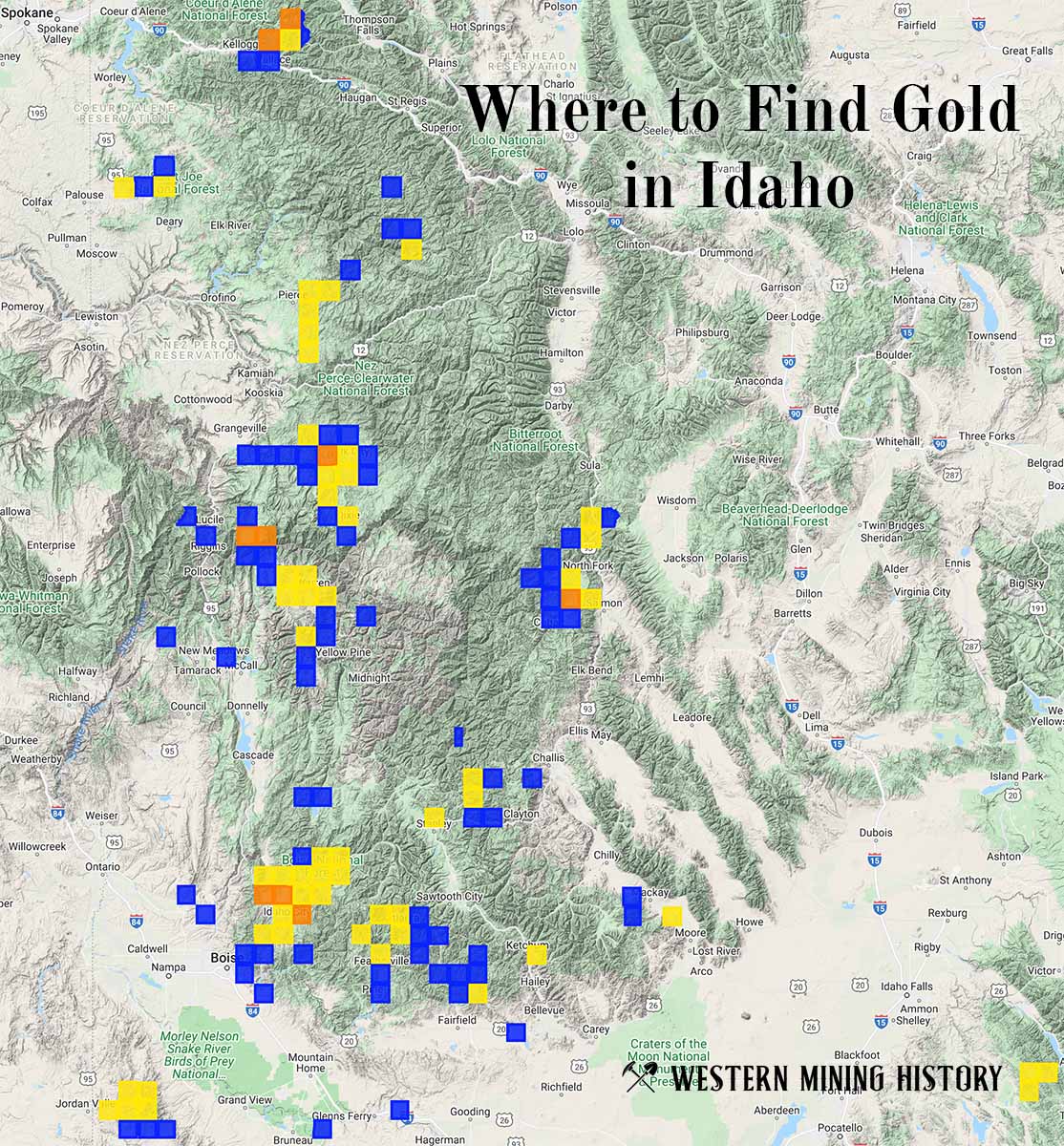
"Where to Find Gold in Idaho" looks at the density of modern placer mining claims along with historical gold mining locations and mining district descriptions to determine areas of high gold discovery potential in Idaho. Read more: Where to Find Gold in Idaho.