The Connor Creek Prospect is a mercury, chromium, gold, and nickel mine located in Baker county, Oregon.
About the MRDS Data:
All mine locations were obtained from the USGS Mineral Resources Data System. The locations and other information in this database have not been verified for accuracy. It should be assumed that all mines are on private property.
Mine Info
Elevation:
Commodity: Mercury, Chromium, Gold, Nickel
Lat, Long: 44.56889, -117.18000
Map: View on Google Maps
Connor Creek Prospect MRDS details
Site Name
Primary: Connor Creek Prospect
Commodity
Primary: Mercury
Primary: Chromium
Primary: Gold
Primary: Nickel
Location
State: Oregon
County: Baker
Land Status
Not available
Holdings
Not available
Workings
Not available
Ownership
Not available
Production
Not available
Deposit
Record Type: Site
Operation Category: Occurrence
Operation Type: Unknown
Years of Production:
Organization:
Significant: N
Deposit Size: S
Physiography
General Physiographic Area: Intermontane Plateaus
Physiographic Province: Columbia Plateau
Physiographic Section: Payette Section
Mineral Deposit Model
Model Name: Hot-spring Hg
Orebody
Not available
Structure
Type: L
Description: Major North-East-Trending Fault Contact
Alterations
Alteration Type: L
Alteration Text: Shearing, Silica-Carbonate Altering
Rocks
Name: Schist
Role: Associated
Age Type: Associated Rock
Age Young: Late Triassic
Analytical Data
Analytical Data: THIRTEEN SAMPLES CONTAIN FROM 0.013 TO 0.28 % NI, AND AVERAGE 0.16 % NI. EIGHT SAMPLES CONTAIN FROM A TRACE TO 0.70 LB/TON HG, AVERAGE 0.34 LB/TON HG. AU AND AG ASSAYS OF 5 SAMPLES SHOW ONLY TRACE QUANTITY OF AU AND NO AG.
Materials
Ore: Cinnabar
Ore: Chromite
Gangue: Chalcedony
Gangue: Opal
Comments
Comment (Geology): PROSPECT IN NARROW ZONE BETWEEN PRE-JURASSIC BURNT RIVER SCHIST TO THE NORTH AND JURASSIC VOLCANICS AND MARINE GRAYWACKES TO THE SOUTH.
Comment (Location): NW 1/4 SEC 35
Comment (Workings): DEVELOPMENT CONSISTS OF SURFACE CUTS AND PROSPECT ROADS. LARGEST CUT IS ABOUT 250 FT LONG AND 60 FT. WIDE.
Comment (Deposit): AREA HAS BEEN PROSPECTED FOR NATIVE MERCURY, CINNABAR, CHROMITE, AND GOLD ( BROOKS, 1963 ). ALL WORK HAS BEEN DONE IN SEARCH OF MERCURY AND CHROMITE; A FEW SAMPLES ASSAYED FOR NICKEL.
References
Reference (Deposit): RAMP, LEN, 1978 , INVESTIGATIONS OF NICKEL IN OREGON: ODGMI MISC. PAPER NO. 20 , P. 60
Oregon Gold

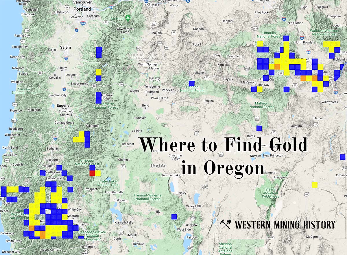
"Where to Find Gold in Oregon" looks at the density of modern placer mining claims along with historical gold mining locations and mining district descriptions to determine areas of high gold discovery potential in Oregon. Read more: Where to Find Gold in Oregon.