The Spanish Gulch Project/Andrews Mine is a copper, silver, lead, and gold mine located in Wheeler county, Oregon.
About the MRDS Data:
All mine locations were obtained from the USGS Mineral Resources Data System. The locations and other information in this database have not been verified for accuracy. It should be assumed that all mines are on private property.
Mine Info
Elevation:
Commodity: Copper, Silver, Lead, Gold
Lat, Long: 44.45167, -119.77056
Map: View on Google Maps
Spanish Gulch Project/Andrews Mine MRDS details
Site Name
Primary: Spanish Gulch Project/Andrews Mine
Secondary: Andrus Mine
Commodity
Primary: Copper
Primary: Silver
Primary: Lead
Primary: Gold
Location
State: Oregon
County: Wheeler
District: Spanish Gulch
Land Status
Not available
Holdings
Not available
Workings
Not available
Ownership
Owner Name: Asarco (American Smelting And Refining Co.)
Production
Not available
Deposit
Record Type: Site
Operation Category: Past Producer
Deposit Type: Vein
Operation Type: Unknown
Years of Production:
Organization:
Significant: N
Physiography
General Physiographic Area: Intermontane Plateaus
Physiographic Province: Columbia Plateau
Physiographic Section: Walla Walla Plateau
Mineral Deposit Model
Not available
Orebody
Not available
Structure
Not available
Alterations
Not available
Rocks
Name: Granite
Role: Associated
Age Type: Associated Rock
Age Young: Late Cretaceous
Name: Granite
Role: Associated
Age Type: Host Rock
Age Young: Middle Triassic
Analytical Data
Not available
Materials
Ore: Chalcopyrite
Ore: Galena
Ore: Pyrite
Gangue: Calcite
Gangue: Quartz
Comments
Comment (Deposit): THE PROSPECT IS LOCATED IN A SMALL AREA OF PRE-TERTIARY ROCKS WHICH INCLUDE GREENSTONES, ARGILLITES, SERPENTINE, AND SMALL DIKES AND IRREGULAR MASSES OF GRANODIORITE. BROOKS (1968) REPORTS THAT VEINS IN THIS AREA CONTAIN PYRITE, CHALCOPYRITE, AND GALENA. ; INFO.SRC : 1 PUB LIT; 2 UNPUB REPT
Comment (Geology): SMALL QUARTZ VEINS REPORTED TO CARRY MOST OF THE VALVES.
References
Reference (Deposit): DOBELL, J.B., 1948, GEOLOGY OF THE ANTONE DISTRICT OF WHEELER COUNTY, OREGON; OREGON STATE UNIV. MS. THESIS
Reference (Deposit): BROOKS, H.C. AND RAMP, L., 1968, GOLD AND SILVER IN OREGON; ODGMI BULL. 61, P. 161
Oregon Gold

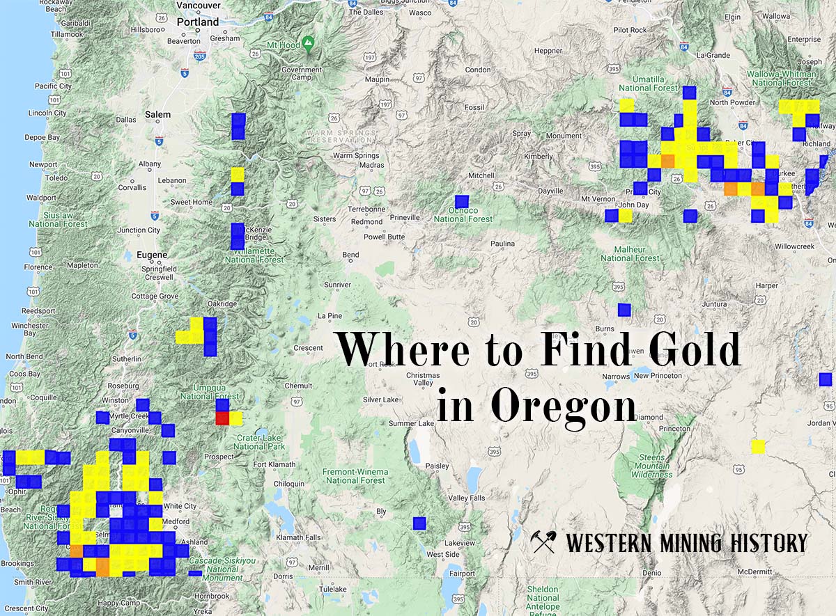
"Where to Find Gold in Oregon" looks at the density of modern placer mining claims along with historical gold mining locations and mining district descriptions to determine areas of high gold discovery potential in Oregon. Read more: Where to Find Gold in Oregon.