The Opalite is a mercury, uranium, and lithium mine located in Malheur county, Oregon.
About the MRDS Data:
All mine locations were obtained from the USGS Mineral Resources Data System. The locations and other information in this database have not been verified for accuracy. It should be assumed that all mines are on private property.
Mine Info
Elevation:
Commodity: Mercury, Uranium, Lithium
Lat, Long: 42.05222, -118.03471
Map: View on Google Maps
Opalite MRDS details
Site Name
Primary: Opalite
Commodity
Primary: Mercury
Primary: Uranium
Primary: Lithium
Location
State: Oregon
County: Malheur
District: Opalite District (McDermitt)
Land Status
Land ownership: Private
Note: the land ownership field only identifies whether the area the mine is in is generally on public lands like Forest Service or BLM land, or if it is in an area that is generally private property. It does not definitively identify property status, nor does it indicate claim status or whether an area is open to prospecting. Always respect private property.
Holdings
Type: Patented
Workings
Type: Surface
Ownership
Owner Name: Bradley Mining Co.
Home Office: California
Info Year: 1978
Years: 1963 -
Production
Year: 1963
Time Period: To 1963
Material type: HG (data from Brooks, 1963)
Description: Cp_Grade: ^2-10 Lb/Ton
Deposit
Record Type: Site
Operation Category: Past Producer
Operation Type: Surface
Year First Production: 1926
Discovery Year: 1924
Discovery Method: Ore-Mineral In Place
Years of Production:
Organization:
Significant: Y
Deposit Size: M
Physiography
General Physiographic Area: Intermontane Plateaus
Physiographic Province: Basin And Range Province
Physiographic Section: Great Basin
Mineral Deposit Model
Model Name: Hot-spring Hg
Orebody
Form: OVAL
Structure
Type: L
Description: Located In The Mc Dermitt Caldera Complex
Alterations
Alteration Type: L
Alteration Text: Argillic Alteration, Silicification
Rocks
Name: Volcanic Rock (Aphanitic)
Role: Associated
Age Type: Host Rock
Age Young: Miocene
Analytical Data
Analytical Data: LOCALIZED SILICIFIED AND PYRITIZED AREAS CONTAIN UP TO 265 PPM U.
Materials
Ore: Mercury
Ore: Cinnabar
Gangue: Opal
Gangue: Chalcedony
Gangue: Quartz
Gangue: Aragonite
Gangue: Halloysite
Unknown: Pyrite
Comments
Comment (Geology): ANOMOLOUS U VALUES ARE REPORTEDLY CONFINED TO A ZONE OF POTASSIUM FELDSPAR ALTERATION. RHYOLITE DOMES. ; GEOL.DESC: FLAT-LYING MIOCENE LAVAS DISPLACED BY STEEP NORMAL FAULTS FORMING BASINS IN WHICH LATE MIOCENE LAKE BEDS ACCUMULATED. MAJOR FAULTING AFTER DEPOSITION OF LAKE BEDS.
Comment (Workings): OPEN PIT IS 100 FT DEEP. (CA. MID 1940'S) LAST OPERATED 1957.
Comment (Geology): Orebody info from deleted record 0410450004 = 10128625: Length: 370 M Width: 250 M Depth to Top: 0 M Thickness: 25 M MAS Matrix # : 1 MAS Column # : 1 Type of Orebody #1 : SHEAR ZONE Shape of Orebody #1 : MASSIVE Type of Orebody #2 : BRECCIA FILL Primary mode of Origin : HYDROTHERMAL Primary Ore Control : FAULTING Secondary Ore Control : FRACTURING Degree of Wallrock Alter. : MODERATE Type of Wallrock Alter. #1 : SILICIFICATION Type of Wallrock Alter. #2 : ADV ARGILLIC Minimum Depth to Top : 0 Avg. Thick. Unconsol. Mat. : 0 Min. Thick. Unconsol. Mat. : 0 Date of Last Modification : 830316 Total Surface Area (HA) : 10 Date of Last Modification : 910418
References
Reference (Deposit): U.S. GEOLOGICAL SURVEY BULLETIN 931-N, 1942, P. 343-344.
Pages: p. 343-344.
Reference (Deposit): 1979 GEOCHEM RYTUBA, J.J, CONRAD, W.K., AND GLANZMAN, R.K.; USGS OPEN-FILE REPORT 79-54.
Reference (Deposit): RYTUBA, J.J, CONRAD, W.K., AND GLANZMAN, R.K., 1979, URANIUM, THORIUM, AND MERCURY DISTRIBUTION THROUGH THE EVOLUTION OF THE MC DERMITT CALDERA COMPLEX; USGS OPEN-FILE REPORT 79-541, P.8.
Reference (Deposit): BROOKS, H.C., 1963, QUICKSILVER IN OREGON: ODGMI BULL. 55, 223 P.
Pages: p. 186-189.
Reference (Deposit): BAILEY, E.H., USGS, PERSONAL FILES.
Oregon Gold

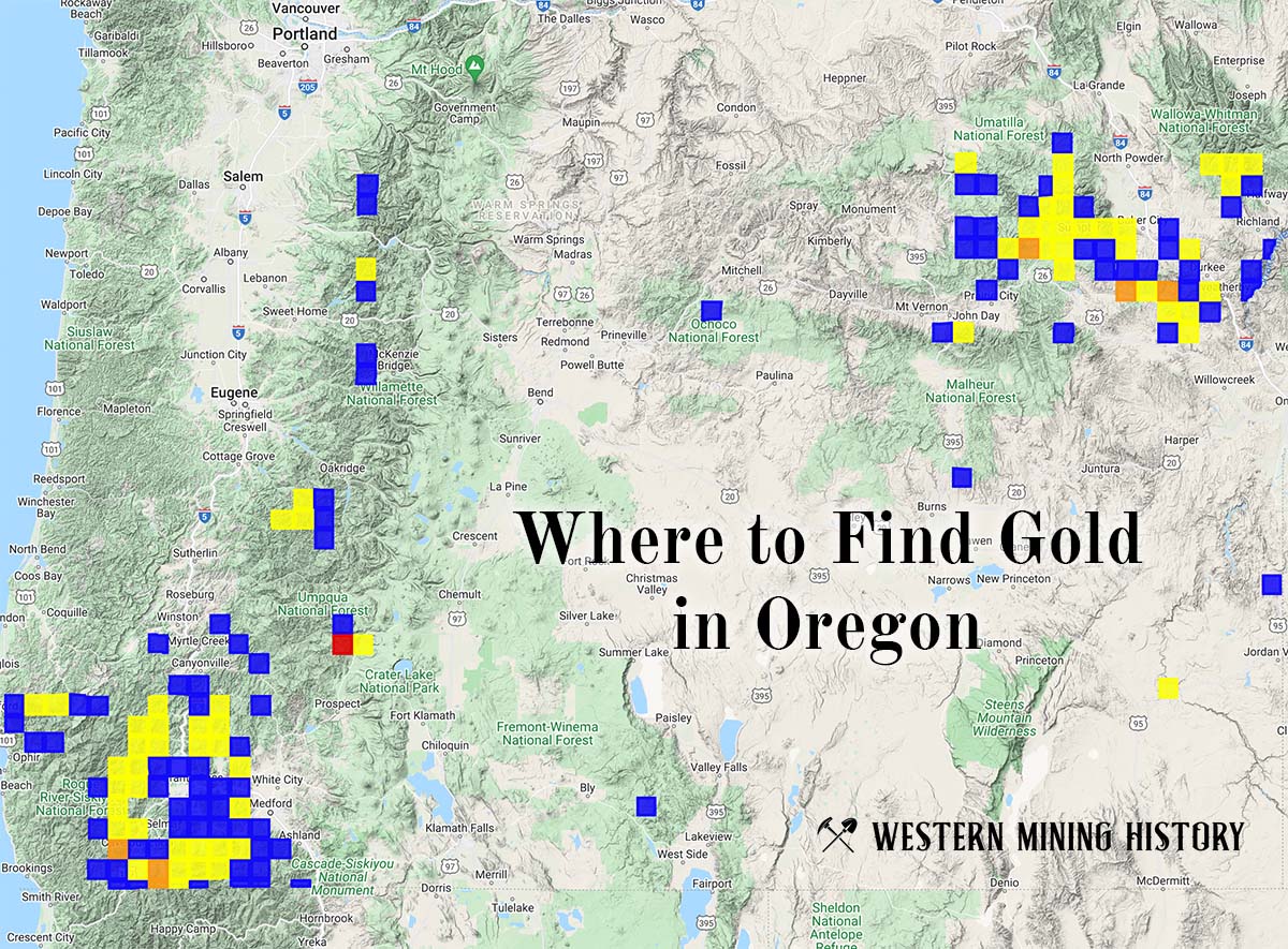
"Where to Find Gold in Oregon" looks at the density of modern placer mining claims along with historical gold mining locations and mining district descriptions to determine areas of high gold discovery potential in Oregon. Read more: Where to Find Gold in Oregon.