The Kaaba Claims is a lead and silver mine located in Okanogan county, Washington at an elevation of 2,500 feet.
About the MRDS Data:
All mine locations were obtained from the USGS Mineral Resources Data System. The locations and other information in this database have not been verified for accuracy. It should be assumed that all mines are on private property.
Mine Info
Elevation: 2,500 Feet (762 Meters)
Commodity: Lead, Silver
Lat, Long: 48.95528, -119.64944
Map: View on Google Maps
Kaaba Claims MRDS details
Site Name
Primary: Kaaba Claims
Secondary: Caaba
Secondary: Kaaba-Texas
Commodity
Primary: Lead
Primary: Silver
Secondary: Zinc
Secondary: Copper
Secondary: Gold
Tertiary: Molybdenum
Tertiary: Tungsten
Location
State: Washington
County: Okanogan
District: Nighthawk District
Land Status
Not available
Holdings
Not available
Workings
Type: Surface/Underground
Ownership
Owner Name: Kaaba Silver-Lead Mines Inc.
Years: 1948 - 1951
Production
Not available
Deposit
Record Type: Site
Operation Category: Past Producer
Operation Type: Unknown
Year First Production: 1915
Year Last Production: 1950
Discovery Method: Ore-Mineral In Place
Years of Production:
Organization:
Significant: N
Deposit Size: S
Physiography
General Physiographic Area: Pacific Mountain System
Physiographic Province: Cascade-Sierra Mountains
Physiographic Section: Northern Cascade Mountains
Mineral Deposit Model
Not available
Orebody
Form: BANDED QUARTZ VEIN 6-12' WIDE
Structure
Not available
Alterations
Alteration Type: L
Alteration Text: Wall Rock Hydrothermally Altered
Rocks
Name: Diorite
Role: Associated
Age Type: Associated Rock Unit
Age Young: Late Cretaceous
Name: Diorite
Role: Associated
Age Type: Host Rock
Age Young: Late Cretaceous
Name: Diorite
Role: Associated
Age Type: Associated Rock
Age Young: Late Cretaceous
Analytical Data
Analytical Data: 1.2% PB, .5% ZN, .1% CU, 2.25 OZ AG
Analytical Data: 1943-46 AVG. $4.03/TON
Materials
Ore: Galena
Ore: Marcasite
Ore: Sphalerite
Ore: Chalcopyrite
Ore: Molybdenite
Ore: Scheelite
Ore: Pyrite
Gangue: Quartz
Gangue: Calcite
Comments
Comment (Workings): THE VEIN IS OPENED BY A TWO-COMPARTMENT INCLINED SHAFT SUNK TO A DEPTH OF 300 FT ON THE VEIN. FROM THE SHAFT THERE EXISTS 1100 FT OF DRIFTS ON 4 LEVELS, OVER HALF IS ON THE 3RD LEVEL. THE FIRST 3 LEVELS ARE AT 50 FT, 100 FT, AND 200 FT FROM THE COLLAR. ON THE SURFACE SOUTH OF THE WORKING SHAFT THERE ARE 6 SHALLOW EXPLORATORY PITS SUNK AT INTERVALS ALONG THE OUTCROP OVER A LENGTH OF 350 FT. IN 1921 THE VERTICAL AND HORIZONTAL EXTENT OF THE VEIN HAD NOT BEEN DETERMINED.
Comment (Location): NEAR BASE OF SW SLOPE OF LITTLE CHOPAKA MTN.
Comment (Commodity): PRODUCTION IN: 1915, 1918, 1920, 1929, 1943-1949, AND 1950.
Comment (Deposit): QUARTZ VEIN WITH IRREGULAR BANDS OF ORE MINERALS PARALLEL TO THE WALLS; SMALLER BUNCHES AND SPECKS OF ORE ARE SCATTERED THROUGHOUT THE QUARTZ, ALSO.
Comment (Development): SHAFT AND DRIFTS; 1921: TWO-DRILL AIR COMPRESSOR OPERATED BY A 30-HP MOTOR, AND A 20-HP MOTOR FURNISHING POWER TO A SMALL HOIST PLUS CUSTOMARY MINE BLDGS AND AUXILLARY MINING EQUIPMENT; 1952: A 150 TON FLOTATION MILL WAS BUILT. ; ECON.COM: MINE MAPS AT WASH DM&E, OLYMPIA
Comment (Geology): THE GRANITOID WALL ROCKS IN THE VICINITY OF THE VEIN HAVE UNDERGONE HYDROTHERMAL ALTERATION, THE BASIC MINERALS BEING PARTLY CONVERTED INTO CHORITE AND IN PLACES SLIGHTLY SERPENTINIZED WHILE THE FELDSPARS ARE ALTERED TO KAOLIN. THE QTZ VEIN FILLING HAS BEEN SHATTERED PARALLEL TO THE WALLS BY MOVEMENTS ALONG THE PLANE OF THE VEIN. THE VEIN IS INTRUDED BY TWO VERY FINE-GRAINED DIABASE DIKES. IN THE BOTTOM OF THE SHAFT THESE DIKES FORM RESPECTIVELY A FALSE FOOT-WALL AND HANGING WALL. NEAR THE 200 FT LEVEL THE LARGE DIKE LEAVES THE FOOT-WALL AND BREAKS UP THROUGH THE VEIN TO CONTINUE NEAR THE HANGING WALL. 50 FEET BELOW THE COLLAR OF THE SHAFT IT LEAVES THE VEIN, BREAKS NEARLY VERTICALLY UP THROUGH THE GRANODIORITE AND OUTCROPS ON THE HILLSIDE ABOVE THE SHAFT. THE LARGE DIKE IS 3 FT THICK AT THE 200 FT LEVEL AND NARROWS DOWN TO ONE FT AT THE 50 FT LF THE DIKEINTRUSION HAS CAUSED SOME OF THE SULFIDES TO DEVELOP FLOW STRUCTURE.
Comment (Deposit): 27 CLAIMS; 7 PATENTED CLAIMS AND 3 PATENTED LOTS.
References
Reference (Deposit): WASH. DMG BULL 37, P. 220
Reference (Deposit): WASH. DMG BULL 64, P. 92-93, PLATES 1-2
Reference (Deposit): WASH. GEOL. SUR. BULL 23, 9. 228-231
Reference (Production): WASH. DMG BULL 37, P. 220; WASH. GS. BULL 23, P. 228
Washington Gold

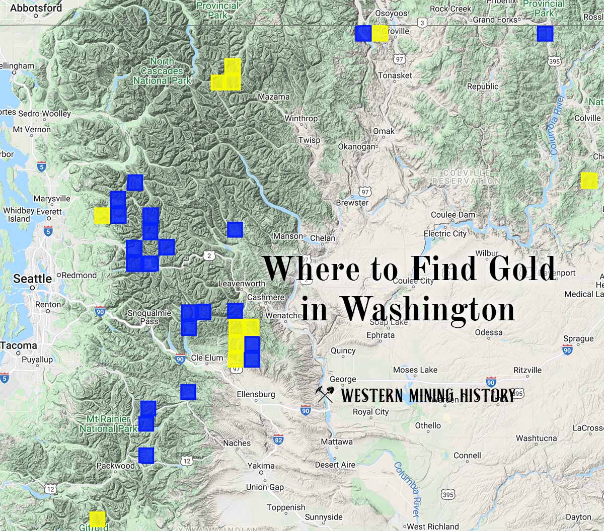
"Where to Find Gold in Washington" looks at the density of modern placer mining claims along with historical gold mining locations and mining district descriptions to determine areas of high gold discovery potential in Arizona. Read more: Where to Find Gold in Washington.