The Bodie Gold Mine is a gold mine located in Okanogan county, Washington at an elevation of 2,999 feet.
About the MRDS Data:
All mine locations were obtained from the USGS Mineral Resources Data System. The locations and other information in this database have not been verified for accuracy. It should be assumed that all mines are on private property.
Mine Info
Elevation: 2,999 Feet (914 Meters)
Commodity: Gold
Lat, Long: 48.81583, -118.90361
Map: View on Google Maps
Bodie Gold Mine MRDS details
Site Name
Primary: Bodie Gold Mine
Secondary: Northern Gold
Commodity
Primary: Gold
Secondary: Silver
Tertiary: Copper
Tertiary: Iron
Location
State: Washington
County: Okanogan
District: Wauconda District; Bodie Area
Land Status
Land ownership: Private
Note: the land ownership field only identifies whether the area the mine is in is generally on public lands like Forest Service or BLM land, or if it is in an area that is generally private property. It does not definitively identify property status, nor does it indicate claim status or whether an area is open to prospecting. Always respect private property.
Holdings
Not available
Workings
Not available
Ownership
Owner Name: Malabar Mines, Ltd.
Home Office: 1326-510 W. Hastings St., Vancover, B.C. V6b 1l8
Years: 1979 -
Production
Year: 1944
Time Period: 1940 To 1944
Material type: ORE AU AG
Description: Cp_Grade: ^Select Mining Avg 0.89 Oz Au/Ton And 1.48 Oz Ag/Ton
Year: 1916
Time Period: 1902 To 1916
Material type: ORE AU AG
Description: Cp_Grade: ^Avg 0.15 Oz Au/Ton And 0.11 Oz Ag/Ton
Deposit
Record Type: Site
Operation Category: Past Producer
Operation Type: Unknown
Year First Production: 1902
Year Last Production: 1944
Discovery Year: 1897
Years of Production:
Organization:
Significant: N
Physiography
General Physiographic Area: Rocky Mountain System
Physiographic Province: Northern Rocky Mountains
Mineral Deposit Model
Not available
Orebody
Form: LINEAR
Structure
Not available
Alterations
Not available
Rocks
Name: Volcanic Breccia (Agglomerate)
Role: Associated
Age Type: Associated Rock Unit
Age Young: Eocene
Name: Volcanic Breccia (Agglomerate)
Role: Associated
Age Type: Host Rock
Age Young: Early Permian
Name: Volcanic Breccia (Agglomerate)
Role: Associated
Age Type: Associated Rock
Age Young: Eocene
Analytical Data
Analytical Data: 1930: 0.65 OZ AU/TON, 0.60 OZ AG/TON
Analytical Data: 1897 ASSAYS: TO 20 OZ AU/TON
Analytical Data: ORE FROM 2 50 FT - 350 FT LEVELS AVG 0.125 OZ AU/TON. BRECCIA ASSAYS: 19 28, OVER A 200 FT SECTION AVG 0.002 OZ AU/TON AND 0.045 OZ AG /TON.(AT 400 FT LEVEL): 1970, 200 FT SECTION AT 400 FT LEVEL SHOWED 0.15 OZ AU/TON AND 0.23 OZ AG/TON. 1975 SAMPLING OF TA ILINGS SHOWED 0.031 OZ AU/TON AND 0.1575 OZ AG/TON. CYANIDATI ON TESTS SHOW THAT 90.1% OF THE AU & 66.8% OF THE AG CAN BE A STRACTED BY LEACHING THE TAILINGS FOR 48 HRS.
Analytical Data: ORE FROM 200 FT-250 FT LEVELS AVG 0.4 OZ AU/TON
Analytical Data: ORE FROM 100 FT-200 FT LEVELS AVG 0.75 OZ AU/TON
Analytical Data: 1940-1944: AUG 0.924 OZ AU/TON, 1.48 OZ AG ( TOTAL), AU/AG RATIO1:0.73, FINESS OF AU WAS 631. THE TENOR OF THE ORE VARIED WIDELY: ORE FROM 100 FT LEVEL TO SURFACE AVG 1 OZ AU/TON
Materials
Ore: Pyrrhotite
Ore: Chalcopyrite
Ore: Pyrite
Gangue: Quartz
Comments
Comment (Commodity): 1906-1944; 66,032 TONS 1935-44 SPORADIC
Comment (Location): ON UPPER TORADA CREEK.
Comment (Reserve-Resource): WASH. DGER BULL 73, P.74
Comment (Development): ADITS, CROSSCUTS, DRIFTS, AND TRENCHES. CONSTRUCTIO N: 1902, 10-STAMP AMALGAMATION-CYANIDE MILL; 1930, 70 TON MIL L WITH AMALGAMATION PLATES AND WILFLEY TABLES; 1938, MILL CAP ACITY INCREASED TO 125 TONS/DAY. MINING AND MILLING OPERATION S CARRIED OUT UNTIL 1944, USING UP TO 40 MINERS WORKING 3 SHI FTS.
Comment (Deposit): PERSISTANT QUARTZ FISSURE VEIN; ORE SHOOTS TO 250 F T LONG; LARGE WELL-DEVELOPED VOLCANIC BRECCIA.
Comment (Geology): SILICIFIED, PROPYCITIZED, AND PYRITIZED ANDESITE AN D DACITE, AS WELL AS SOME GOUGE, OCCUR BETWEEN INDIVIDUAL VEI NS AND WALL ROCK. THE VEIN QTZ IS WHITE TO LIGHT GRAY, FINE-G RAINED, AND OFTEN CHALCEDONIC; COLLOFORM VEIN STRUCTURE IS OF TEN PRESENT AS IS BANDING THAT PARALLELS THE WALLS OF THE VEI NS. SULFIDES AND MAGNETITE ARE FINE-GRAINED AND DISSEMINATED IN THE QTZ. ALMOST ALL WALL ROCK ADJACENT TO THE VEIN CONTAIN S MINOR DISSEMINATED PYRITE AND PYRRHOTITE AND IS HYDROTHERMA LLY ACTERED. THE BRECCIA IS IN VOLCANIC ROCKS THAT ADJOIN THE BODIE VEIN ON THE WEST. THE BRECCIA STRIKES NORTH AND DIPS 35 -45W. IN THE UPPER LEVELS OF THE MINE THE BRECCIA FORMS THE H ANGING WALL OF THE BODIE VEIN. THE CLASTS OF THE BRECCIA CONS SIST OF HIGHLY TO MODERATELY ALTERED VOLCANIC ROCKS OF MIXED LITHOLOGY AND MINOR QTZ; THE CLASTS ARE LESS THAN AN INCH TO AS MUCH AS 1 FT ALROSS. ; GEOL.DESC: MUCH ALTERATION NEAR SURFACE
Comment (Deposit): 5 PATENTED CLAIMS: BODIE, BODIE NO. 2, WEST CLIFF,C YRSTAL BUTTE, AND LITTLE GEORGE, ALL OF MINERAL SURVEY NO. 72 1. AT ONE TIME THERE WERE 10 UNPATENTED CLAIMS, ALSO.
References
Reference (Deposit): WASH. DGER IC 69, P. 10
Reference (Deposit): WASH. DGER BULL 73, P. 72-74
Reference (Deposit): WASH. DMG BULL. 37, PART II, P. 136.
Washington Gold

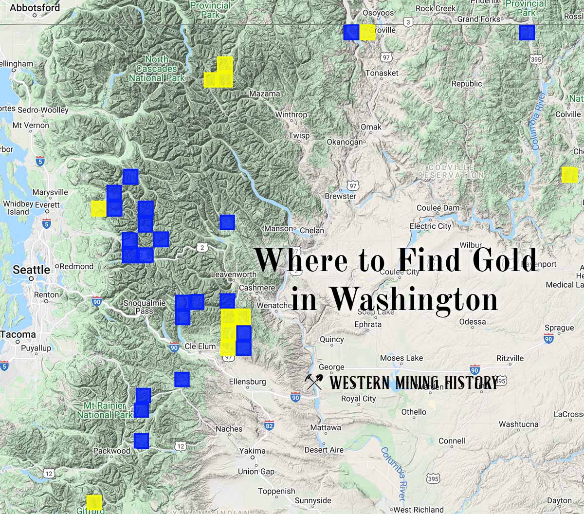
"Where to Find Gold in Washington" looks at the density of modern placer mining claims along with historical gold mining locations and mining district descriptions to determine areas of high gold discovery potential in Arizona. Read more: Where to Find Gold in Washington.