The Bi-Metallic Mine is a molybdenum and copper mine located in Okanogan county, Washington at an elevation of 4,449 feet.
About the MRDS Data:
All mine locations were obtained from the USGS Mineral Resources Data System. The locations and other information in this database have not been verified for accuracy. It should be assumed that all mines are on private property.
Mine Info
Elevation: 4,449 Feet (1,356 Meters)
Commodity: Molybdenum, Copper
Lat, Long: 48.85194, -119.14028
Map: View on Google Maps
Bi-Metallic Mine MRDS details
Site Name
Primary: Bi-Metallic Mine
Commodity
Primary: Molybdenum
Primary: Copper
Secondary: Silver
Secondary: Gold
Tertiary: Tungsten
Location
State: Washington
County: Okanogan
District: Myers Creek District; Buckhorn Mtn Area
Land Status
Not available
Holdings
Not available
Workings
Type: Surface/Underground
Ownership
Owner Name: Dawn Mining Co.
Years: 1961 -
Production
Not available
Deposit
Record Type: Site
Operation Category: Past Producer
Operation Type: Unknown
Year Last Production: 1918
Discovery Year: 1896
Discovery Method: Ore-Mineral In Place
Years of Production:
Organization:
Significant: N
Physiography
General Physiographic Area: Rocky Mountain System
Physiographic Province: Northern Rocky Mountains
Mineral Deposit Model
Not available
Orebody
Form: SHOOTS
Structure
Type: L
Description: Undulating Shear Zones; Ne Trending Fault To West
Alterations
Alteration Type: L
Alteration Text: Kaolinized & Sericitized Granite Porphyry; Minor Ma Lachite Staining On Surface Exposures
Rocks
Name: Monzonite
Role: Associated
Age Type: Associated Rock
Age Young: Paleocene
Name: Monzonite
Role: Associated
Age Type: Associated Rock Unit
Age Young: Pliocene
Name: Monzonite
Role: Associated
Age Type: Host Rock
Age Young: Paleocene
Analytical Data
Analytical Data: 4 AVG.-307% MO, 27 AVG.-TRACE TO 3.87% MO, .02-1.26% CU, TRACE-.5 OZ AG, TRACE A
Materials
Ore: Powellite
Ore: Molybdite
Ore: Molybdenite
Ore: Scheelite
Gangue: Kaolinite
Gangue: Sericite
Comments
Comment (Deposit): IN 1961 6 DRILLHOLES (TOTALING 900 FT IN LENGTH) WE RE DRILLED IN AN EFFORT TO DETERMINE URANIUM CONTENT; NONE WA S FOUND. 4 PATENTED CLAIMS.
Comment (Geology): MINERALIZATION IS LOCALIZED ALONG SEVERAL UNDULATIN G SHEAR ZONES IN HYDROTHERMALLY ALTERED ALASKITE, APLITE, & M ONZONITE.
Comment (Workings): SEVERAL SHAFTS, TRENCHES, AND TWO ADITS. THE LOWEST ADIT, WHICH IS CAVED AT THE PORTAL, IS AT EVELATION 4100 & I S 300 FT LONG. THE UPPER MAIN ADIT IS ABOUT 2000 FT SE OF THE LOWER ADIT AT ELEVATION 4580. THIS ADIT TRENDS N28W FOR 285 FT AND HAS A 40 FT CROSSCUT NEAR ITS FACE. ABOUT 140 FT FROM THE PORTAL, INTO THE ADIT, AN 80 FT RAISE EXTENDS TO THE SURF ACE, BUT IS INACCESSIBLE DUE TO CAVED GROUND. THE UPPER SHAFT S ARE REPORTED TO BE 50-60 FT DEEP.
Comment (Location): ON NE RIDGE OF BIMETHALLIC MTN.
Comment (Commodity): SEVERAL TONS CU-AU ORE 1918. 500 LB HIGH-GRADE MO ORE . SLIGHT RADIOACTIVITY IN ORE ZONES.
Comment (Development): ADITS, SHAFTS, TRENCHES; PRODUCTION IN 1918; DRILLH OLES, 1961.
Comment (Deposit): ORE IN FRACTURES & FAULTS; OXIDIZED COPPER MINERALI ZATION IN AN OVAL FRACTURE ZONE.
References
Reference (Deposit): WASH. DMG BULL. 378 P.270
Reference (Deposit): WASH. DGER BULL 73, P. 54-57, PLATE 1
Reference (Deposit): WASH. DMG RI 18, P. 34-44
Washington Gold

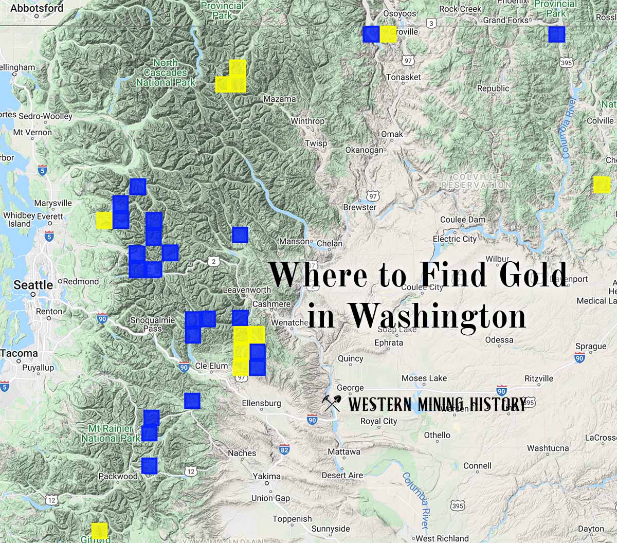
"Where to Find Gold in Washington" looks at the density of modern placer mining claims along with historical gold mining locations and mining district descriptions to determine areas of high gold discovery potential in Arizona. Read more: Where to Find Gold in Washington.