The Royal Reward Mine is a mercury mine located in King county, Washington at an elevation of 699 feet.
About the MRDS Data:
All mine locations were obtained from the USGS Mineral Resources Data System. The locations and other information in this database have not been verified for accuracy. It should be assumed that all mines are on private property.
Mine Info
Elevation: 699 Feet (213 Meters)
Commodity: Mercury
Lat, Long: 47.315, -121.93361
Map: View on Google Maps
Royal Reward Mine MRDS details
Site Name
Primary: Royal Reward Mine
Commodity
Primary: Mercury
Secondary: Arsenic
Tertiary: Antimony
Location
State: Washington
County: King
District: Green River District
Land Status
Not available
Holdings
Not available
Workings
Type: Underground
Ownership
Owner Name: Washington Mining Corp.
Years: 1969 -
Production
Not available
Deposit
Record Type: Site
Operation Category: Producer
Operation Type: Unknown
Year First Production: 1955
Discovery Year: 1875
Discovery Method: Ore-Mineral In Place
Years of Production:
Organization:
Significant: N
Deposit Size: S
Physiography
General Physiographic Area: Pacific Mountain System
Physiographic Province: Pacific Border Province
Physiographic Section: Puget Trough
Physiographic Detail: Cascade Mountains
Mineral Deposit Model
Not available
Orebody
Form: IRREGULAR
Structure
Type: L
Description: N9w Trending Asymmetrical Anticline Cut By An East-Dipping Fault.
Alterations
Not available
Rocks
Name: Andesite
Role: Associated
Age Type: Host Rock Unit
Age Young: Eocene
Name: Andesite
Role: Associated
Age Type: Host Rock
Age Young: Eocene
Analytical Data
Analytical Data: STOCK PILE ORE. 6.8 LB. HG/TON, 0.09% AS
Materials
Ore: Stibnite
Ore: Realgar
Ore: Cinnabar
Ore: Orpiment
Comments
Comment (Workings): MINE WORKINGS CONSIST OF 168 FT. TWO COMPARTMENT SHAFT, A 100 FT. SOUTH-TRENDING DRIFT AND A 50 FT. WEST-TRENDING CROSSCUT, AND A 95 FT ADIT
Comment (Geology): MINERALIZATION IS ALONG CREST OF A TIGHTLY FOLDED ASYMMETRICAL ANTICLINE. THE MINERALIZATION IS GREATEST WHERE A FAULT CUTS THE CREST. LARGEST MINERALIZED POD CONTAINED 300 POUNDS CINNABAR.
Comment (Deposit): ORE OCCURS AS PODS AND DISSEMINATIONS IN FAULT BRECCIA. A MODEL HAS NOT YET BEEN PUBLISHED FOR THIS TYPE OF DEPOSIT
Comment (Location): LOCATION APPEARS TO BE IS QUESTION. IT MAY BE IN SEC. 8 OR IN SEC. 9 ON SMALL TERRACE ON SOUTH BANK OF GREEN RIVER
Comment (Development): ARSENIC CONTAMINATES THE MERCURY; ORE CONCENTRATIONS DISTRIBUTED ERRATICALLY.
Comment (Deposit): Discovery Year: LATE 1800'S
References
Reference (Production): LIVINGSTON, 1971
Reference (Deposit): DERKEY, R.E., JOSEPH, N.L., AND LASMANIS, RAYMOND, 1990, METAL MINES OF WASHINGTON - PRELIMINARY REPORT: WASHINGTON DIVISION OF GEOLOGY AND EARTH RESOURCES OPEN-FILE REPORT 90-18, P. 120.
Reference (Deposit): U.S. BUREAU OF MINES, 1965, MERCURY IN WASHINGTON, IN MERCURY POTENTIAL OF THE UNITED STATES: U.S. BUREAU OF MINES INFORMATION CIRCULAR 8252, P. 362-363.
Reference (Deposit): LIVINGSTON, V. E. JR., 1971, GEOLOGY AND MINERAL RESOURCES OF KING COUNTY, WASHINGTON: WASHINGTON DIVISION OF MINES AND GEOLOGY BULLETIN 63, P. 153-154.
Washington Gold

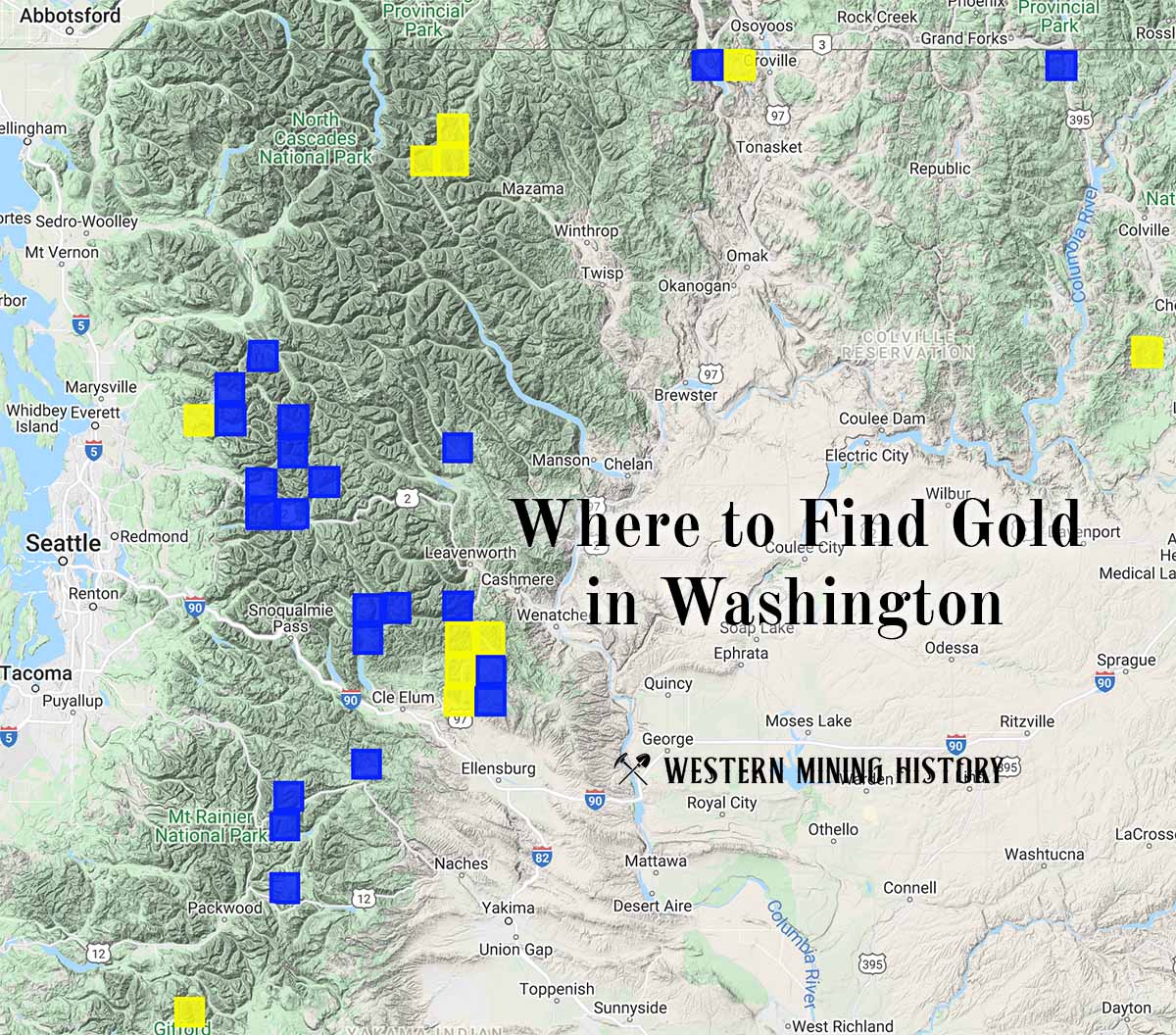
"Where to Find Gold in Washington" looks at the density of modern placer mining claims along with historical gold mining locations and mining district descriptions to determine areas of high gold discovery potential in Arizona. Read more: Where to Find Gold in Washington.