The Camp Creek Mine is a copper mine located in Skamania county, Washington at an elevation of 3,100 feet.
About the MRDS Data:
All mine locations were obtained from the USGS Mineral Resources Data System. The locations and other information in this database have not been verified for accuracy. It should be assumed that all mines are on private property.
Mine Info
Elevation: 3,100 Feet (945 Meters)
Commodity: Copper
Lat, Long: 46.36083, -121.78889
Map: View on Google Maps
Camp Creek Mine MRDS details
Site Name
Primary: Camp Creek Mine
Secondary: Mccoy Creek
Secondary: Lucky Break
Secondary: Primary Gold
Commodity
Primary: Copper
Tertiary: Zinc
Tertiary: Lead
Tertiary: Gold
Tertiary: Platinum
Tertiary: Molybdenum
Location
State: Washington
County: Skamania
District: St. Helens District - Camp Creek Area
Land Status
Land ownership: National Forest
Note: the land ownership field only identifies whether the area the mine is in is generally on public lands like Forest Service or BLM land, or if it is in an area that is generally private property. It does not definitively identify property status, nor does it indicate claim status or whether an area is open to prospecting. Always respect private property.
Administrative Organization: In Gifford Pinchot National Forest
Holdings
Not available
Workings
Not available
Ownership
Owner Name: Camp Creek Metals Co.
Years: 1956 -
Owner Name: Randy Williams
Years: 1985 -
Production
Not available
Deposit
Record Type: Site
Operation Category: Past Producer
Operation Type: Unknown
Discovery Year: 1903
Years of Production:
Organization:
Significant: N
Deposit Size: S
Physiography
General Physiographic Area: Pacific Mountain System
Physiographic Province: Cascade-Sierra Mountains
Physiographic Section: Northern Cascade Mountains
Mineral Deposit Model
Model Name: Porphyry Cu
Orebody
Form: STOCKWORK
Structure
Not available
Alterations
Alteration Type: L
Alteration Text: Potassic, Phyllic, Propylitic
Rocks
Name: Andesite
Role: Associated
Age Type: Host Rock Unit
Age Young: Miocene
Name: Andesite
Role: Associated
Age Type: Host Rock
Age Young: Miocene
Analytical Data
Analytical Data: AU:CU=0.005 OZ/TON AU:1% CU
Materials
Ore: Chalcopyrite
Ore: Galena
Ore: Chalcocite
Ore: Gold
Ore: Molybdenite
Ore: Sphalerite
Ore: Pyrite
Gangue: Biotite
Gangue: Plagioclase
Gangue: Sericite
Gangue: Chlorite
Gangue: Quartz
Gangue: Calcite
Comments
Comment (Location): ON CAMP CREEK, A TRIBUTARY TO MCCOY CREEK. UNSURVEYED
Comment (Development): MOSTLY MINED BETWEEN 1934 AND 1940. SINCE 1940, SEVERAL OPERATORS ATTEMPTED TO MINE GOLD BUT WERE APPARENTLY UNSUCCESSFUL BECAUSE OF SPOTTY NATURE OF ORE AND NARROWNESS OF VEINS. PROPERTY WAS IDLE IN 1977.
Comment (Production): HUNTTING REPORTED A PRODUCTION OF $75,000 PRIOR TO 1934, BUT DOUBTFUL
Comment (Deposit): MINERALIZATION CONFINED TO NORTH-TRENDING, STEEPLY DIPPING FRACTURES FILLED WITH QUARTZ AND IRON OXIDES. ORE IS LOCALIZED AT INTERSECTION OF EAST-TRENDING FRACTURES PARALLEL TO CAMP CREEK, AND NORTH-TRENDING QUARTZ FISSURE VEINS PARALLEL TO MCCOY CREEK. SOME GOLD WAS MINED FROM PYRITIC QUARTZ VEINS. NARROW IRON-OXIDE SEAMS ADJACENT TO QUARTZ VEINS YIELDED FLAKES OF GOLD TO 0.5 IN. ACROSS AND MASSES TO 2 IN. IN DIAMETER AND 0.5 IN. THICK.
Comment (Commodity): GOLD PRESENT IN FLAKES TO 0.5 IN. ACROSS AND IN MASSES TO 2 IN. DIAMETER AND 0.5 IN. THICK
Comment (Workings): 10 SHORT ADITS, NONE OVER 100 FT LONG MOST OF ADITS ARE CAVED AT PORTALS.
Comment (Geology): DEPOSIT HAS A LOW K20 TO NA2O RATIO. TOURMALINE IS ABSENT
Comment (Deposit): SKETCH MAP OF CAMP CREEK MINE AND AREA IN MOEN (1977). ; INFO.SRC : 1 PUB LIT
Comment (Deposit): SEE ALSO MRDS RECORD M700188
References
Reference (Production): MOEN, 1977, P. 30
Reference (Deposit): LINK, J.E., 1985, GOLD AND COPPER MINERALIZATION IN THE MCCOY CREEK DISTRICT, SKAMANIA COUNTY, WASHINGTON: PULLMAN, WASHINGTON STATE UNIVERSITY, M.S. THESIS, 176 P.
Reference (Deposit): HOLLISTER, V.F., 1979, PORPHYRY COPPER-TYPE DEPOSITS OF THE CASCADE VOLCANIC ARC, WASHINGTON: MINERALS SCIENCE AND ENGINEERING, V. 11, P. 25.
Reference (Deposit): HUNTTING, M.T., 1956, INVENTORY OF WASHINGTON MINERALS - PART II, METALLIC MINERALS: WASHINGTON DIVISION OF MINES AND GEOLOGY BULLETIN 37, V. 1, P. 154, 155.
Reference (Deposit): MOEN, W.S., 1977, ST. HELENS AND WASHOUGAL MINING DISTRICTS OF THE SOUTHERN CASCADES OF WASHINGTON: WASHINGTON DIVISION OF GEOLOGY AND EARTH RESOURCES INFORMATION CIRCULAR 60. P. 17, 30-31.
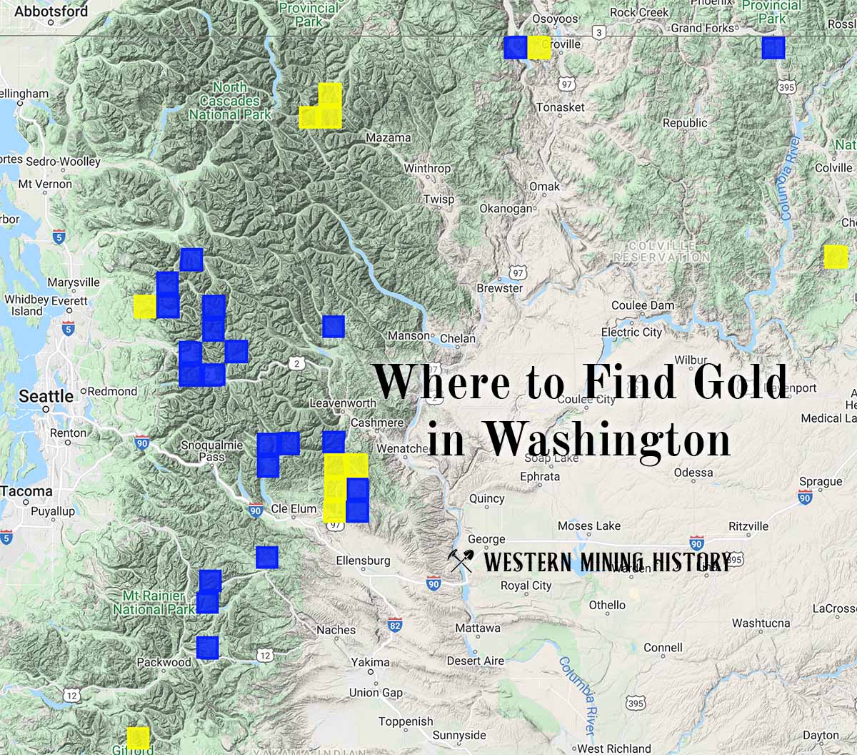
Washington Gold

"Where to Find Gold in Washington" looks at the density of modern placer mining claims along with historical gold mining locations and mining district descriptions to determine areas of high gold discovery potential in Arizona. Read more: Where to Find Gold in Washington.