The Copper King Prospect is a quartz mine located in Whatcom county, Washington at an elevation of 600 feet.
About the MRDS Data:
All mine locations were obtained from the USGS Mineral Resources Data System. The locations and other information in this database have not been verified for accuracy. It should be assumed that all mines are on private property.
Mine Info
Elevation: 600 Feet (183 Meters)
Commodity: Quartz
Lat, Long: 48.96278, -122.18861
Map: View on Google Maps
Copper King Prospect MRDS details
Site Name
Primary: Copper King Prospect
Secondary: Claims: Tommy Atkins
Secondary: Tuesday
Commodity
Primary: Quartz
Tertiary: Gold
Tertiary: Copper
Location
State: Washington
County: Whatcom
District: Mount Baker District
Land Status
Not available
Holdings
Not available
Workings
Not available
Ownership
Owner Name: Columbia Cement Co.
Years: 1967 -
Production
Not available
Deposit
Record Type: Site
Operation Category: Past Producer
Operation Type: Unknown
Discovery Year: 1897
Years of Production:
Organization:
Significant: N
Deposit Size: S
Physiography
General Physiographic Area: Pacific Mountain System
Physiographic Province: Pacific Border Province
Physiographic Section: Puget Trough
Mineral Deposit Model
Model Name: Polymetallic veins
Orebody
Form: VEIN
Structure
Not available
Alterations
Alteration Type: L
Alteration Text: Iron Oxide From Oxidation Of Sulfide Minerals Present On Joint Surfaces
Rocks
Not available
Analytical Data
Analytical Data: PAY STREAK 20 IN. WIDE SAID TO HAVE CARRIED 8-20% CU, $4.50 AU.
Materials
Ore: Quartz
Ore: Malachite
Ore: Gold
Ore: Chalcopyrite
Gangue: Feldspar
Comments
Comment (Workings): 1 SHORT ADIT, QUARTZ WAS QUARRIED
Comment (Geology): QUARTZ OVERLAIN BY METAQUARTZ DIORITE, THE PRESUMED HOST ROCK, AND UNDERLAIN IN FAULT CONTACT BY DIOPSIDE.
Comment (Deposit): CEMENT MADE WITH QUARTZ FROM THIS DEPOSIT WAS USED IN CONSTRUCTION OF THE GRAND COULEE DAM ; INFO.SRC : 1 PUB LIT
Comment (Development): SEVERAL ATTEMPTS WERE MADE AT MINING THE METALLIC ELEMENTS, WITHOUT SUCCESS. THE QUARTZ QUARRY WAS ABANDONED IN 1966.
Comment (Deposit): DEPOSIT IS ON NORTHEAST END OF SMALL KNOB JUTTING THROUGH GLACIAL DEPOSITS. QUARTZ DEPOSIT IS 280 FT LONG AND 60 FT HIGH BUT ONLY SOUTHEAST END CONTAINS THIN STRINGERS AND PODS OF CU MINERALS. GOLD IS DISSEMINATED IN THE QUARTZ IN ASSOCIATION WITH THE CU MINERALS. QUARTZ IS MASSIVE BUT JOINTED AND FRACTURED. IT IS UNDERLAIN BY SHEARED AND SLICKENSIDED DIOPSIDE THAT RESEMBLES SERPENTINITE. DIOPSIDE IS MICROBRECCIATED. QUARTZ AND DIOPSIDE ARE IN FAULT CONTACT.
References
Reference (Deposit): MOEN, W.S., 1969, MINES AND MINERAL DEPOSITS OF WHATCOM COUNTY, WASHINGTON: WASHINGTON DIVISION OF MINES AND GEOLOGY BULLETIN 57, P. 35-36, 83
Washington Gold

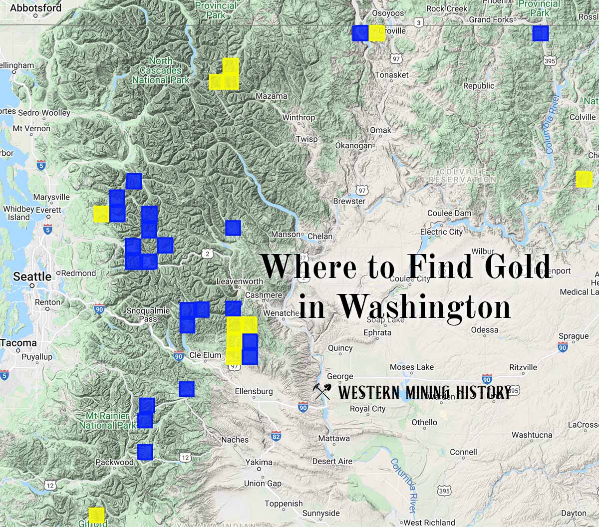
"Where to Find Gold in Washington" looks at the density of modern placer mining claims along with historical gold mining locations and mining district descriptions to determine areas of high gold discovery potential in Arizona. Read more: Where to Find Gold in Washington.