The Waterman 1-10 is a gold mine located in Wheeler county, Oregon at an elevation of 4,199 feet.
About the MRDS Data:
All mine locations were obtained from the USGS Mineral Resources Data System. The locations and other information in this database have not been verified for accuracy. It should be assumed that all mines are on private property.
Mine Info
Elevation: 4,199 Feet (1,280 Meters)
Commodity: Gold
Lat, Long: 44.44333, -119.78083
Map: View on Google Maps
Waterman 1-10 MRDS details
Site Name
Primary: Waterman 1-10
Commodity
Primary: Gold
Location
State: Oregon
County: Wheeler
District: Spanish Gulch
Land Status
Not available
Holdings
Not available
Workings
Not available
Ownership
Owner Name: Spanish Gulch Gold Placers, Ltd (Asarco)
Production
Not available
Deposit
Record Type: Site
Operation Category: Past Producer
Operation Type: Unknown
Years of Production:
Organization:
Significant: N
Physiography
General Physiographic Area: Intermontane Plateaus
Physiographic Province: Columbia Plateau
Physiographic Section: Walla Walla Plateau
Mineral Deposit Model
Not available
Orebody
Not available
Structure
Not available
Alterations
Not available
Rocks
Not available
Analytical Data
Not available
Materials
Not available
Comments
Comment (Geology): WINDOW OF PALEOZIC ARGILLITE, ALTERED VOLCANICES AND METAMORPHIC ROCKS WITH CRETACEOUS SANDSTONE AND CONGLOMERATES SURROUNDED BY COLUMBIA RIVER BASALT
Comment (Deposit): SIX OLD SHACKS PLUS TRASH, CAR BODIES,TRUCK, METAL SLUICE BOXES, BELT ROLLERS.
Comment (Workings): TWO RECENT RECLAIMED DRILL SITES ON WATERMAN 6, TWO ADITS WITH BATS, AND HAND STACKED PLACER TALLINGS. ANDREWS MINE HAS THREE OLDER DRILL HOLES, CAVED SHAFT AND COLLAPSED HEADFRAME, COLLAPSING TWO-STAMP MILL, AND CAVED ADIT.
References
Reference (Deposit): BROWN, C. E., THAYER, T. P.. 1966, GELOLOGYIC MAP OF THE CANYON CITY QUADRAGLE, NE OR: USGS , MISC. INVEST. MAP I-447.
Reference (Deposit): BROOKS, H.C. AND RAMP, L., 1968, GOLD AND SILVER IN OREGON: ODGMI BULL. 61,,PAGE 161.
Reference (Deposit): SWARTLEY, A.M., 1914, ORE DEPOSITS OF NE OREGON: OREGON BUREAU MINES AND GEOLOGY, V. 1, NO. 8, P .208.
Reference (Deposit): SWARTLE AND PARKS, 1916, MINERAL RESOURCES OF OREGON: V. 2, OREGON BUREAU MINES AND GELOGY, P. 296.
Reference (Deposit): LINDGREN, W., 1901, THE GOLD BELT OF THE BLUE MTNS, OF OREGON: SSND ANNUAL REPORT USGS, PART 2, P. 719.
Reference (Other Database): BLM ORMC 25092-25101
Oregon Gold

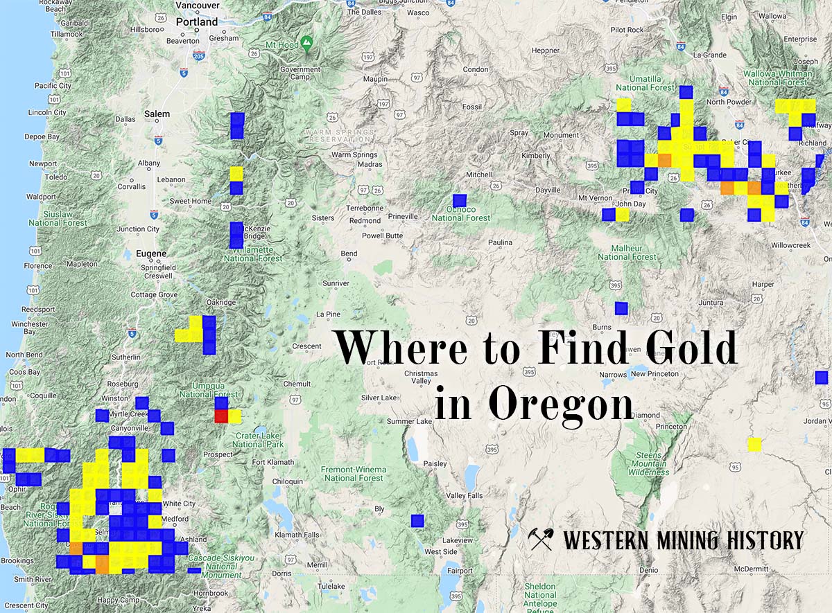
"Where to Find Gold in Oregon" looks at the density of modern placer mining claims along with historical gold mining locations and mining district descriptions to determine areas of high gold discovery potential in Oregon. Read more: Where to Find Gold in Oregon.