The Magnetic is a iron, gold, copper, and silver mine located in Okanogan county, Washington at an elevation of 5,000 feet.
About the MRDS Data:
All mine locations were obtained from the USGS Mineral Resources Data System. The locations and other information in this database have not been verified for accuracy. It should be assumed that all mines are on private property.
Mine Info
Elevation: 5,000 Feet (1,524 Meters)
Commodity: Iron, Gold, Copper, Silver
Lat, Long: 48.95806, -118.97861
Map: View on Google Maps
Magnetic MRDS details
Site Name
Primary: Magnetic
Secondary: Buckhorn
Secondary: Natural Aztec
Secondary: Neutral;
Commodity
Primary: Iron
Primary: Gold
Primary: Copper
Primary: Silver
Location
State: Washington
County: Okanogan
District: Myers Creek
Land Status
Not available
Holdings
Not available
Workings
Not available
Ownership
Not available
Production
Not available
Deposit
Record Type: Site
Operation Category: Past Producer
Operation Type: Unknown
Years of Production:
Organization:
Significant: N
Deposit Size: L
Physiography
General Physiographic Area: Rocky Mountain System
Physiographic Province: Northern Rocky Mountains
Mineral Deposit Model
Not available
Orebody
Not available
Structure
Type: R
Description: Late Paleozoic Sediments Were Deposited Along An Active Continental Margin.
Alterations
Not available
Rocks
Name: Limestone
Role: Host
Age Type: Associated Rock
Age Young: Late Cretaceous
Name: Limestone
Role: Host
Age Type: Host Rock
Age Young: Late Permian
Analytical Data
Not available
Materials
Ore: Chalcopyrite
Ore: Magnetite
Ore: Scheelite
Ore: Gold
Gangue: Epidote
Gangue: Garnet
Unknown: Pyrite
Unknown: Pyrrhotite
Comments
Comment (Geology): MAGNETITE BODIES ARE LOCATED IN NORTHWEST-TRENDING CONTACT-METAMORPHIC ZONES IN LIMESTONES OF PERMIAN AGE ADJACENT TO BIOTITE-HORNBLENDE GRANODIORITE OF THE JURASSIC-CRETACEOUS BUCKHORN MOUNTAIN PLUTON (MOEN, 1980, P. 47; STOFFEL, 1990, GEOL. MAP).
Comment (Deposit): DEVELOPMENT WORK CONSISTED OF THREE OPEN PITS, TWO ADITS, AND NUMEROUS OPEN CUTS AND PROSPECT PITS. THE MAIN PIT IS 280 FT LONG AND 65-130 FT WIDE AND HAS A MAXIMUM VERTICAL FACE OF 50 FT (MOEN, 1980, P. 49). THE MAGNETIC MINE IS PART OF THE BUCKHORN MOUNTAIN PROJECT DRILLED BY CROWN RESOURCES CORP. IN 1988-89. OTHER THAN IRON THE ORE BODIES CONTAIN TRACES TO 0.02% CU, TRACES TO 0.15 OZ/TON AU, AND 0.05-0.40 OZ/TON AG (MOEN, 1980, P. 49). BROUGHTON (1943, P. 17) ESTIMATED RESERVES OF 4,826,000 TONS OF IRON ORE AVERAGING 47.3% FE, 1.57% S, 0.03% P, AND 0.03% TI. ; INFO.SRC : 1 PUB LIT
Comment (Production): SMALL SHIPMENTS OF COPPER ORE WERE MADE FROM THE NEUTRAL CLAIM TO A SMELTER IN BRITISH COLUMBIA. A TOTAL OF 80,000 TONS OF MAGNETITE WERE SHIPPED FROM THE NEUTRAL CLAIM BETWEEN 1918 AND 1950 (MOEN, 1980, P. 47).
References
Reference (Deposit): BROUGHTON, W.A., 1943, THE BUCKHORN IRON DEPOSITS OF OKANOGAN COUNTY, WASHINGTON-RESULTS OF A MAGNETIC SURVEY: WASHINGTON DIVISION OF GEOLOGY REPORT OF INVESTIGATIONS 8, 21 P., 1 PL.
Reference (Deposit): CULVER, H.E.; BROUGHTON, W.A., 1945, TUNGSTEN RESOURCES OF WASHINGTON: WASHINGTON DIVISION OF GEOLOGY BULLETIN 34, 89 P., 23 PL.
Reference (Deposit): SHEDD, SOLON; JENKINS, O.P.; COOPER, H.H., 1922, IRON ORES, FUELS, AND FLUXES OF WASHINGTON: WASHINGTON DIVISION OF GEOLOGY BULLETIN 27, 160 P., 1 PL.
Reference (Deposit): STOFFEL, K.L., COMPILER, 1990, GEOLOGIC MAP OF THE OROVILLE 1:100,000 QUADRANGLE, WASHINGTON: WASHINGTON DIVISION OF GEOLOGY AND EARTH RESOURCES OPEN FILE REPORT 90-11, 58 P., 1 PL.
Reference (Deposit): UMPLEBY, J.B., 1911, PART I.-- GEOLOGY AND ORE DEPOSITS OF THE MYERS CREEK MINING DISTRICT; PART II. -- GEOLOGY AND ORE DEPOSITS OF THE OROVILLE-NIGHTHAWK MINING DISTRICT: WASHINGTON GEOLOGICAL SURVEY BULLETIN 5, 111 P.
Reference (Deposit): WHITWELL, G.E.; PATTY, E.N., 1921, THE MAGNESITE DEPOSITS OF WASHINGTON, THEIR OCCURENCE AND TECHNOLOGY: WASHINGTON GEOLOGICAL SURVEY BULLETIN 25, 194 P.
Reference (Deposit): DERKEY, R.E.; JOSEPH, N.L.; LASMANIS, R., 1990, METAL MINES OF WASHINGTON-PRELIMINARY REPORT: STATE OF WASHINGTON, DEPARTMENT OF NATURAL RESOURCES, DIVISION OF GEOLOGY AND EARTH RESOURCES OPEN-FILE REPORT 90-18, 577 P.
Reference (Deposit): GLOVER, S.L., 1942, WASHINGTON IRON ORES, A SUMMARY REPORT: WASHINGTON DIVISION OF MINES AND MINING REPORT OF INVESTIGATIONS 2, 23 P.
Reference (Deposit): HUNTTING, M. T., 1956, INVENTORY OF WASHINGTON MINERALS-PART II, METALLIC MINERALS: WASHINGTON DIVISION OF MINES AND GEOLOGY BULLETIN 37, V. 1, 428 P.; V. 2, 67 P.
Reference (Deposit): MOEN, W.S., 1980, MYERS CREEK AND WAUCONDA MINING DISTRICTS OF NORTHEASTERN OKANOGAN COUNTY, WASHINGTON: WASHINGTON DIVISION OF GEOLOGY AND EARTH RESOURCES BULLETIN 73, 96 P., 6 PL.
Reference (Deposit): ZAPFFE, CARL, 1949, A REVIEW-IRON BEARING DEPOSITS IN WASHINGTON, OREGON, AND IDAHO: RAW MATERIALS SURVEY RESOURCE REPORT 5, 89 P.
Reference (Deposit): ZOLDOK, S.W.; COLE, J.W.; DOUGHERTY, E.Y., 1947, IRON DEPOSITS OF BUCKHORN MOUNTAIN, MEYERS CREEK MINING DISTRICT, OKANOGAN COUNTY, WASHINGTON: U.S. BUREAU OF MINES REPORT OF INVESTIGATIONS 4051, 22 P.
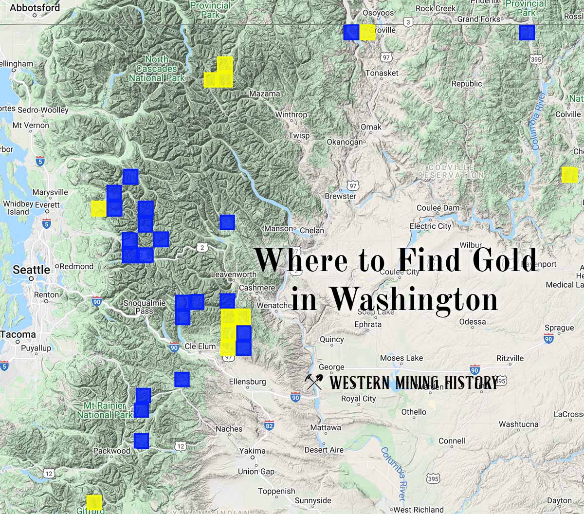
Washington Gold

"Where to Find Gold in Washington" looks at the density of modern placer mining claims along with historical gold mining locations and mining district descriptions to determine areas of high gold discovery potential in Arizona. Read more: Where to Find Gold in Washington.