The Panama is a antimony, silver, and gold mine located in Okanogan county, Washington.
About the MRDS Data:
All mine locations were obtained from the USGS Mineral Resources Data System. The locations and other information in this database have not been verified for accuracy. It should be assumed that all mines are on private property.
Mine Info
Elevation:
Commodity: Antimony, Silver, Gold
Lat, Long: 48.15472, -119.02806
Map: View on Google Maps
Panama MRDS details
Site Name
Primary: Panama
Commodity
Primary: Antimony
Primary: Silver
Primary: Gold
Location
State: Washington
County: Okanogan
District: Nespelem
Land Status
Not available
Holdings
Not available
Workings
Not available
Ownership
Not available
Production
Not available
Deposit
Record Type: Site
Operation Category: Past Producer
Deposit Type: Vein
Operation Type: Unknown
Years of Production:
Organization:
Significant: N
Physiography
General Physiographic Area: Intermontane Plateaus
Physiographic Province: Columbia Plateau
Physiographic Section: Walla Walla Plateau
Mineral Deposit Model
Not available
Orebody
Not available
Structure
Type: R
Description: The Porphyritic Granodiorite Of Manila Creek Is Part Of The Keller Butte Suite Of Holder And Holder (1988). Rocks Of The Keller Butte Suite Were Emplaced During Regional Ductile Stretching That Resulted In The Deformation Associated With The Metamorphic Core Complexes (Holder And Holder, 1988).
Alterations
Not available
Rocks
Not available
Analytical Data
Not available
Materials
Ore: Argentite
Ore: Stephanite
Ore: Silver
Ore: Chalcopyrite
Gangue: Pyrite
Gangue: Quartz
Comments
Comment (Production): A 12-TON SHIPMENT OF HAND-SORTED ORE WAS MADE TO THE TACOMA SMELTER; IT RETURNED 56.8 OZ/TON AG AND 9.32 OZ/TON AU (COLVILLE CONFEDERATED TRIBES, 1984). SHIPMENTS TOTALING 26 TONS WERE MADE IN 1919, 1921, AND 1936 (MOEN, 1976).
Comment (Geology): THE VEINS ARE IN THE (PALEOCENE?)-EOCENE PORPHYRITIC GRANODIORITE OF MANILA CREEK (GULICK AND KOROSEC, 1990, GEOL. MAP).
References
Reference (Deposit): COLVILLE CONFEDERATED TRIBES GEOLOGY DEPARTMENT, 1984, REVISED GEOLOGY AND MINERAL POTENTIAL OF THE COLVILLE INDIAN RESERVATION, WASHINGTON, 1984: COLVILLE CONFEDERATED TRIBES [NESPELEM, WASH], 2 V.
Reference (Deposit): DERKEY, R.E.; JOSEPH, N.L.; LASMANIS, R., 1990, METAL MINES OF WASHINGTON-PRELIMINARY REPORT: STATE OF WASHINGTON, DEPARTMENT OF NATURAL RESOURCES, DIVISION OF GEOLOGY AND EARTH RESOURCES OPEN-FILE REPORT 90-18, 577 P.
Reference (Deposit): GULICK, C.W.; KOROSEC, M.A., COMPILERS, 1990, GEOLOGIC MAP OF THE OMAK 1:100,000 QUADRANGLE, WASHINGTON: WASHINGTON DIVISION OF GEOLOGY AND EARTH RESOURCES OPEN-FILE REPORT 90-12, 52 P., 1 PL.
Reference (Deposit): HOLDER, R.W.; HOLDER, G.A.M., 1988, THE COLVILLE BATHOLITH - TERTIARY PLUTONISM IN NORTHEAST WASHINGTON ASSOCIATED WITH GRABEN AND CORE COMPLEX (GNEISS DOME) FORMATION: GEOLOGICAL SOCIETY OF AMERICA BULLETIN, V. 100, NO. 12, P. 1971-1980.
Reference (Deposit): HUNTTING, M. T., 1956, INVENTORY OF WASHINGTON MINERALS-PART II, METALLIC MINERALS: WASHINGTON DIVISION OF MINES AND GEOLOGY BULLETIN 37, V. 1, 428 P.; V. 2, 67 P.
Reference (Deposit): MOEN, W.S., 1976, SILVER OCCURRENCES OF WASHINGTON: WASHINGTON DIVISION OF GEOLOGY AND EARTH RESOURCES BULLETIN 69, 188 P.
Reference (Deposit): PURDY, C.P., JR., 1951, ANTIMONY OCCURENCES OF WASHINGTON: WASHINGTON DIVISION OF MINES AND GEOLOGY BULLETIN 39, 186 P.
Washington Gold

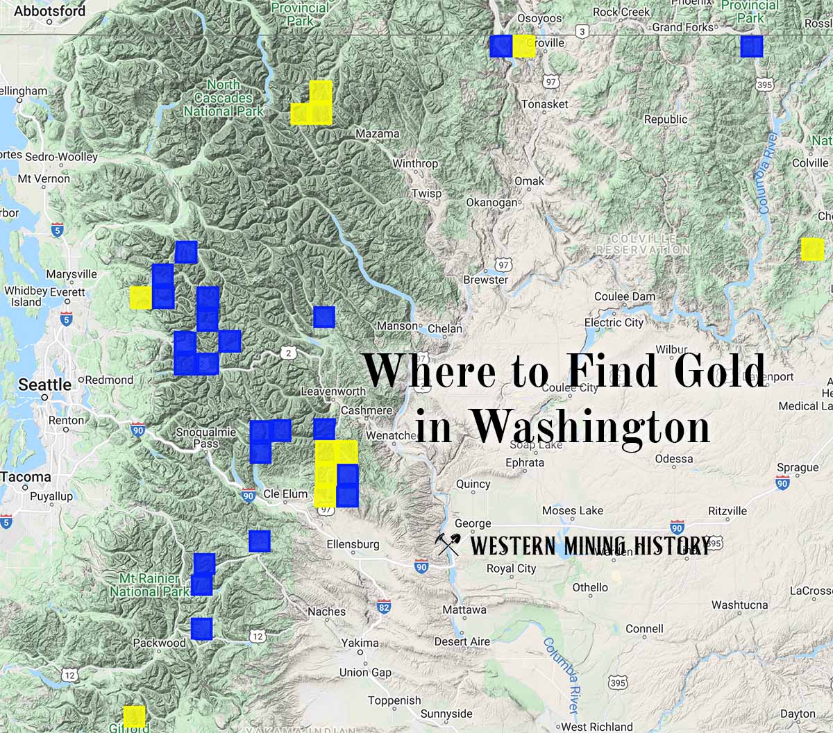
"Where to Find Gold in Washington" looks at the density of modern placer mining claims along with historical gold mining locations and mining district descriptions to determine areas of high gold discovery potential in Arizona. Read more: Where to Find Gold in Washington.