The Starr is a molybdenum mine located in Okanogan county, Washington at an elevation of 3,199 feet.
About the MRDS Data:
All mine locations were obtained from the USGS Mineral Resources Data System. The locations and other information in this database have not been verified for accuracy. It should be assumed that all mines are on private property.
Mine Info
Elevation: 3,199 Feet (975 Meters)
Commodity: Molybdenum
Lat, Long: 48.716, -119.58800
Map: View on Google Maps
Starr MRDS details
Site Name
Primary: Starr
Secondary: Silver Tip
Secondary: Andy Starr
Commodity
Primary: Molybdenum
Secondary: Tungsten
Tertiary: Copper
Tertiary: Arsenic
Location
State: Washington
County: Okanogan
District: Conconcully, Galena
Land Status
Not available
Holdings
Not available
Workings
Not available
Ownership
Owner Name: Wilbur Starr, Horse Spgs.
Home Office: Coulee, Wash.
Owner Name: Hallauer, Wilbur
Home Office: Washington
Info Year: 1990
Production
Not available
Deposit
Record Type: Deposit
Operation Category: Past Producer
Deposit Type: Disseminated
Operation Type: Underground
Year First Production: 1939
Year Last Production: 1944
Discovery Year: 1915
Years of Production:
Organization:
Significant: Y
Deposit Size: L
Physiography
General Physiographic Area: Pacific Mountain System
Physiographic Province: Cascade-Sierra Mountains
Physiographic Section: Northern Cascade Mountains
Mineral Deposit Model
Model Name: Porphyry Mo, low-F
Orebody
Form: ATTENUATED ELLIPSE
Structure
Type: R
Description: In British Columbia To The North, The Quesnel Trough Partly Controls The Distribution Of Major Porphyry Copper-Molybdenum Deposits. The Starr Molybdenum Property Lies On The Projection Of This Structural Trough.
Alterations
Not available
Rocks
Name: Quartz Monzonite
Role: Host
Age Type: Host Rock
Age in Years: 92.700000+-6.600000
Dating Method: K-Ar
Material Analyzed: biotite
Analytical Data
Analytical Data: 0.30% MoS
Materials
Ore: Scheelite
Ore: Molybdenite
Ore: Molybdite
Ore: Chalcopyrite
Gangue: Quartz
Gangue: Limonite
Gangue: Hematite
Gangue: Sericite
Comments
Comment (Geology): THE NORTHWEST-TRENDING AENEAS CREEK PLUTON IS 1 MILE WIDE AND 3 MILES LONG. IT CONSISTS OF A CENTRAL PHASE AND A BORDER PHASE THAT IS IN CONTACT WITH PERMIAN ANARCHIST GROUP METASEDIMENTARY ROCKS. THE DEPOSIT IS IN THE CENTRAL PHASE OF THE PLUTON. THE PLUTON CONSISTS OF MEDIUM CRYSTALLINE BIOTITE-HORNBLENDE QUARTZ MONZONITE AND GRANODIORITE. THE PLUTON HAS YIELDED K-AR BIOTITE AGES OF 92.7 +- 6.6 M.Y. AND 98.3 +- 3.5 M.Y. A CONCORDANT K-AR HORNBLENDE AGE WAS 92.3 +- 4.3 M.Y.
Comment (Production): THREE THOUSAND TONS OF HAND-SORTED ORE, WHICH AVERAGED 1.0% MOS2, WAS SHIPPED IN 1939 (HUNTTING, 1956, P. 271). MATERIAL FROM DUMPS OF THE NO. 1 AND NO. 2 ADITS WAS SHIPPED AFTER 1944.
Comment (Deposit): THE PROPERTY CONSISTS OF UNPATENTED MINING CLAIMS AND IS OWNED (1990) BY WILBUR G. HALLAUER OF OROVILLE.
Comment (Deposit): IN 1928 THE PROPERTY WAS EXPLORED BY MOLYBDENUM CORPORATION OF AMERICA AND IN 1935 AND 1936 BY TITANIUM ALLOY MANUFACTURING CO. CARL LUNDSTROM MINED THE PROPERTY IN 1939. IN TOTAL THERE ARE 2700 FEET OF UNDERGROUND WORKINGS. IN 1959 SIX SHORT DIAMOND DRILL HOLES WERE COMPLETED. FROM 1966 TO 1967 CAMBRI MINING AND DEVELOPMENT CO. LTD. LEASED THE PROPERTY AND DRILLED SIX 200-FT HOLES.
References
Reference (Deposit): CREASEY, S.C., 1945, GEOLOGY OF THE STARR MOLYBDENUM MINE, OKANOGAN COUNTY, WASHINGTON: U.S. GEOLOGICAL SURVEY OPEN-FILE REPORT, 11 P., 5 PL.
Reference (Deposit): DERKEY, R.E.; JOSEPH, N.L.; LASMANIS, R., 1990, METAL MINES OF WASHINGTON-PRELIMINARY REPORT: STATE OF WASHINGTON, DEPARTMENT OF NATURAL RESOURCES, DIVISION OF GEOLOGY AND EARTH RESOURCES OPEN-FILE REPORT 90-18, 577 P.
Reference (Deposit): HUNTTING, M. T., 1956, INVENTORY OF WASHINGTON MINERALS-PART II, METALLIC MINERALS: WASHINGTON DIVISION OF MINES AND GEOLOGY BULLETIN 37, V. 1, 428 P.; V. 2, 67 P.
Reference (Deposit): MOEN, W.S., 1973, CONCONULLY MINING DISTRICT OF OKANOGAN COUNTY, WASHINGTON: WASHINGTON DIVISION OF MINES AND GEOLOGY INFORMATION CIRCULAR 49, 42 P.
Reference (Deposit): PURDY, C.P., JR., 1954, MOLYBDENUM OCCURENCES OF WASHINGTON: WASHINGTON DIVISION OF MINES AND GEOLOGY REPORT OF INVESTIGATIONS 19, 118 P., 6 P
Reference (Deposit): RINEHART, C.D.; FOX, K.F., JR., 1972, GEOLOGY AND MINERAL DEPOSITS OF THE LOOMIS QUADRANGLE, OKANOGAN COUNTY, WASHINGTON: WASHINGTON DIVISION OF MINES AND GEOLOGY BULLETIN 64, 124 P., 3 PL.
Reference (Deposit): STOFFEL, K.L., COMPILER, 1990, GEOLOGIC MAP OF THE OROVILLE 1:100,000 QUADRANGLE, WASHINGTON: WASHINGTON DIVISION OF GEOLOGY AND EARTH RESOURCES OPEN FILE REPORT 90-11, 58 P., 1 PL.
Reference (Deposit): FAWLEY, A.P., 1966, THE STARR MOLYBDENUM MINE, WASHINGTON. THIS REPORT IS IN DGER FILES
Reference (Deposit): CULVER, H.E.; BROUGHTON, W.A., 1945, TUNGSTEN RESOURCES OF WASHINGTON: WASHINGTON DIVISION OF GEOLOGY BULLETIN 34, 89 P., 23 PL.
Reference (Deposit): WASH.I.C.48,1973,P.17
Reference (Deposit): GUILD, PHILIP W., 1981, PRELIMINARY METALLOGENIC MAP OF NORTH AMERICA: A NUMERICAL LISTING OF DEPOSITS: U.S. GEOLOGICAL SURVEY CIRCULAR 858-A, 93 P
Reference (Deposit): 1966 GEOCHEM CAMBRI MIN. & DEVEL.
Reference (Deposit): 1960 DIREXPL AMAX
Reference (Deposit): COLLINS, J.J., 1943, PRELIM. REPT. ON STARR MOLYBDENUM MINE, NEAR TONASKET, OKANOGAN COUNTY, WASHINGTON: UNPUB REPT
Washington Gold

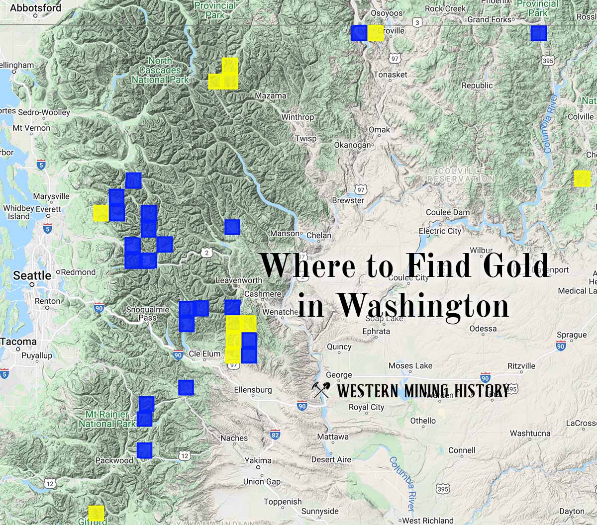
"Where to Find Gold in Washington" looks at the density of modern placer mining claims along with historical gold mining locations and mining district descriptions to determine areas of high gold discovery potential in Arizona. Read more: Where to Find Gold in Washington.