The Parker Mine is a silver and lead mine located in Blaine county, Idaho at an elevation of 7,100 feet.
About the MRDS Data:
All mine locations were obtained from the USGS Mineral Resources Data System. The locations and other information in this database have not been verified for accuracy. It should be assumed that all mines are on private property.
Mine Info
Elevation: 7,100 Feet (2,164 Meters)
Commodity: Silver, Lead
Lat, Long: 43.6922, -114.29170
Map: View on Google Maps
Mine Description
Location and Development
The Parker mine is 6.7 miles east of Ketchum, in Parker Gulch. It comprises 7 patented and 8 unpatented mining claims covering portions of Sect. 10 and 11, T. 4 N., R. 18 E., Boise Meridian. The property is held by the Amicus Trust Company, currently under the management of Mr. Heber Comer of Ketchum, Idaho.
There are four tunnels on the property that explore the Parker vein. These include the Western Reserve, Blacksmith, Montgomery, and the St. Louis. (Fig. 19.) Other mine workings include the lower Parker tunnel and the Amicus and Gondolier. The latter two explore the Amicus vein. Several smaller diggings are scattered throughout the property. All workings are in the Milligen formation.
History and Production
According to Bull. 814 the Parker deposit was discovered in 1883 by Eugene Gillenwater. During the next 15 years the property produced 1,552 tons of ore carrying 1,106,463 pounds of lead and 300,236 ounces of silver; the bulk of which was taken from one ore shoot about 75 feet long, extending from the Blacksmith level to some distance below. Bulletin 814 quotes the manager of the mine at the time of its production, who stated that the ore shoot was followed by a winze driven on the 30 degree dip of the vein for about 500 feet. At that point the vein terminated against a steeply dipping fault and no ore was found beyond.
At a later date the Montgomery tunnel was driven at a lower level to intersect the downward continuation of the Parker vein but this long tunnel and its accompanying crosscuts failed in their efforts.
The property has been worked intermittently since 1938 with the lower Parker tunnel, the Amicus tunnel, and the raise near the face of the Montgomery tunnel receiving most of the attention. It was idle during the summer of 1949.
Source: Detailed Geology of Certain Areas in the Mineral Hill and Warm Springs Districts, Blain County Idaho. Idaho Bureau of Mines and Geology, 1950
Parker Mine MRDS details
Site Name
Primary: Parker Mine
Secondary: Amicus
Secondary: Western Reserve
Secondary: Blacksmith
Secondary: Montgomery
Secondary: St. Louis
Secondary: Gondolier
Commodity
Primary: Silver
Primary: Lead
Tertiary: Anthracite
Tertiary: Copper
Tertiary: Gold
Tertiary: Zinc
Location
State: Idaho
County: Blaine
District: Warm Springs District
Land Status
Land ownership: Private
Note: the land ownership field only identifies whether the area the mine is in is generally on public lands like Forest Service or BLM land, or if it is in an area that is generally private property. It does not definitively identify property status, nor does it indicate claim status or whether an area is open to prospecting. Always respect private property.
Holdings
Not available
Workings
Not available
Ownership
Owner Name: Amicus Trust Co.
Production
Year: 1898
Time Period: 1883-1898
Material type: AG
Description: Cp_Grade: ^45 - 70% Pb, 175 - 675 Oz Ag/Ton
Deposit
Record Type: Site
Operation Category: Past Producer
Operation Type: Unknown
Discovery Year: 1883
Discovery Method: Unknown
Years of Production:
Organization:
Significant: N
Deposit Size: S
Physiography
General Physiographic Area: Rocky Mountain System
Physiographic Province: Northern Rocky Mountains
Physiographic Detail: Pioneer Mountains
Mineral Deposit Model
Not available
Orebody
Form: LENS, BUNCHES, PINCHED, STRINGERS, POCKETS
Structure
Type: L
Description: St. Louis Fault Strikes N 73 Deg E And Dips 48 Deg. Se; Slickensides
Alterations
Alteration Type: L
Alteration Text: Oxidation
Rocks
Name: Andesite
Role: Associated
Age Type: Host Rock Unit
Age Young: Mississippian
Name: Andesite
Role: Associated
Age Type: Host Rock
Age Young: Mississippian
Analytical Data
Analytical Data: ASSAY FROM PARKER VEIN: 0.03 OZ AU/TON, 17.5 OZ AG/TON, 30% PB. ASSAY FROM ST. LOUIS TUNNEL 114 OZ AG/TON, 49.8% PB. COAL CARBON CONTENT 82.18%.
Materials
Ore: Polybasite
Ore: Galena
Ore: Tetrahedrite
Ore: Chalcopyrite
Ore: Sphalerite
Gangue: Pyrite
Gangue: Siderite
Gangue: Calcite
Gangue: Quartz
Comments
Comment (Location): IN PARKER GULCH
Comment (Production): VALUE $350,000
Comment (Development): 7 PATENTED, 8 UNPATENTED CLAIMS
Comment (Deposit): 2 VEINS, PARKER AND AMICUS. STRIKE AND DIP ABOVE ARE ATTITUDE OF PARKER VEIN. AMICUS VEIN STRIKES E - W, DIPS 24 TO 40 DEG S. COAL BED 6 FT. THICK
Comment (Workings): 4 TUNNELS
Comment (Geology): VEIN CONFORMABLE TO DIP AND STRIKE OF SHALES
References
Reference (Deposit): ANDERSON, A. L., AND OTHERS, 1950, DETAILED GEOLOGY OF CERTAIN AREAS IN THE MINERAL HILL AND WARM SPRINGS MINING DISTRICTS: IDAHO BUREAU OF MINES AND GEOLOGY PAMPHLET 90, 73 P.
Reference (Deposit): UMPLEBY, J. B., AND OTHERS, 1930, GEOLOGY AND ORE DEPOSITS OF THE WOOD RIVER REGION, IDAHO, WITH A DESCRIPTION OF THE MINNIE MOORE AND NEAR-BY MINES: USGS BULL. 814, P. 1 - 245.
Reference (Deposit): JENNY, W. P., 1889, GRAPHITIC ANTHRACITE IN THE PARKER MINE, WOOD RIVER, IDAHO: COLUMBIA SCHOOL OF MINES QUARTERLY, V. 10, NO. 4, P. 313 - 315.
Reference (Deposit): JONES, R.W., 1959, PARKER GROUP, BALTIMORE: IDAHO BUREAU OF MINES AND GEOLOGY OPEN-FILE REPT.
Reference (Deposit): 1930 GEOLMAP UMPLEBY, J. B., BULL. 814
Reference (Deposit): 1949 GEOLMAP IDAHO BUREAU OF MINES & GEOL. PAMPHLET 90
Reference (Deposit): 1959 OTHER IDAHO BUREAU OF MINES AND GEOLOGY, OPEN-FILE REPT.
Reference (Production): ANDERSON, A. L., AND OTHERS, 1950, IDAHO BUREAU OF MINES AND GEOLOGY PAMPHLET 90; JENNEY, W. P., 1889, COLUMBIA SCH. OF MINES QUART., V. 10, NO. 4, P. 313 - 315
Idaho Gold

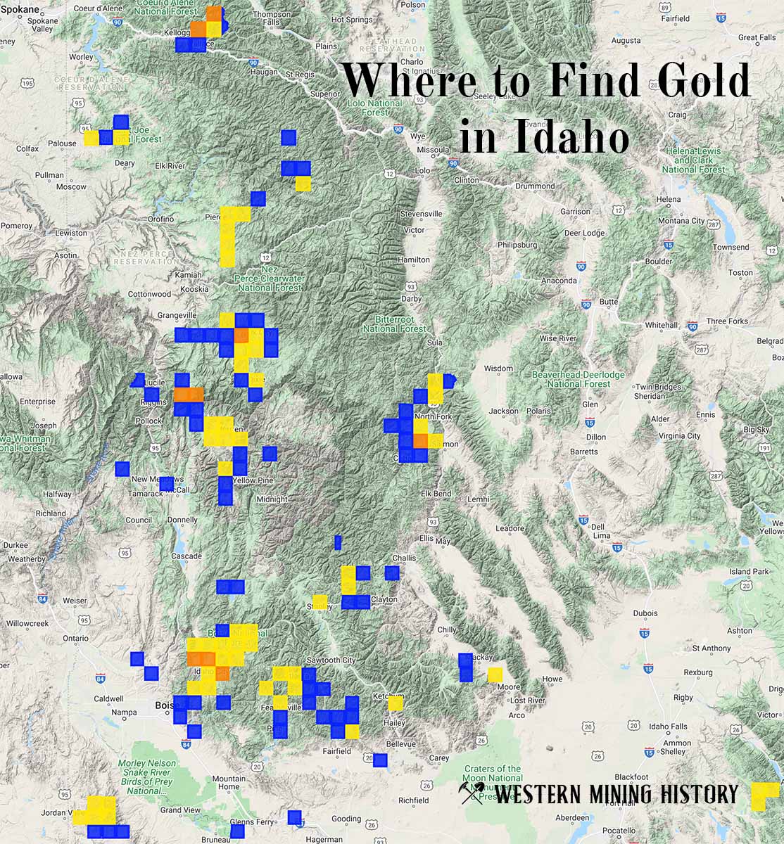
"Where to Find Gold in Idaho" looks at the density of modern placer mining claims along with historical gold mining locations and mining district descriptions to determine areas of high gold discovery potential in Idaho. Read more: Where to Find Gold in Idaho.