The Ramshorn Mine is a lead and silver mine located in Custer county, Idaho at an elevation of 7,201 feet.
About the MRDS Data:
All mine locations were obtained from the USGS Mineral Resources Data System. The locations and other information in this database have not been verified for accuracy. It should be assumed that all mines are on private property.
Mine Info
Elevation: 7,201 Feet (2,195 Meters)
Commodity: Lead, Silver
Lat, Long: 44.4103, -114.36140
Map: View on Google Maps
Ramshorn Mine MRDS details
Site Name
Primary: Ramshorn Mine
Secondary: Utah Boy
Secondary: Post Boy
Secondary: Aetna
Commodity
Primary: Lead
Primary: Silver
Secondary: Copper
Tertiary: Zinc
Tertiary: Gold
Location
State: Idaho
County: Custer
District: Bayhorse District
Land Status
Land ownership: National Forest
Note: the land ownership field only identifies whether the area the mine is in is generally on public lands like Forest Service or BLM land, or if it is in an area that is generally private property. It does not definitively identify property status, nor does it indicate claim status or whether an area is open to prospecting. Always respect private property.
Administrative Organization: Challis National Forest
Holdings
Type: Patented
Workings
Type: Underground
Ownership
Owner Name: Chambers, Arthur Edwin
Owner Name: Ramshorn Mines Co.
Production
Year: 1926
Time Period: 1902-1926
Material type: Shipping Ore
Description: Cp_Grade: ^1926 Shipping Ore: 700 - 3000 Oz Ag/T, 4.8 - 49.7 % Pb, 4.35 - 8.3 % Cu
Year: 1926
Time Period: 1902-1926
Material type: Milling Ore
Description: Cp_Grade: ^ 1926 Milling Ore: 37.4 - 56.8 Oz Ag/T, 1 - 9.8 % Pb, 0.97 - 1.6 % Cu
Year: 1943
Material type: ORE
Description: Ap_Grade: ^6. % Cu, 9. % Pb, 166 Oz/Ton Ag
Deposit
Record Type: Site
Operation Category: Past Producer
Operation Type: Underground
Year First Production: 1877
Discovery Year: 1877
Years of Production:
Organization:
Significant: N
Deposit Size: S
Physiography
General Physiographic Area: Rocky Mountain System
Physiographic Province: Northern Rocky Mountains
Physiographic Detail: Salmon River Mountains
Mineral Deposit Model
Not available
Orebody
Form: TABULAR
Structure
Type: R
Structure: Bayhorse Anticline
Description: Bayhorse Anticline
Type: L
Structure: Faults
Description: 2 Faults
Alterations
Alteration Type: L
Alteration: Recrystallization
Alteration Type: L
Alteration: Silicification
Rocks
Name: Tuff
Role: Associated
Description: Bedded Tuffs
Age Type: Associated Rock Unit
Age Young: Late Jurassic
Name: Tuff
Role: Associated
Description: Bedded Tuffs
Age Type: Associated Rock
Age Young: Late Jurassic
Name: Quartz Monzonite
Role: Associated
Description: Calcic Quartz Monzonite
Age Type: Associated Rock
Age Young: Miocene
Age Old: Oligocene
Analytical Data
Analytical Data: OXIDIZED ORE AVG: 179.9 OZ AG/TON, 6.7% PB, 2.8% CU, TRACE AU.
Analytical Data: ASSAYS UNOXIDIZED ORE AVG: 100.1 OZ AG/TON, 0.6% PB, 2.2% CU
Materials
Ore: Fluorite
Ore: Sphalerite
Ore: Argentite
Ore: Galena
Ore: Tetrahedrite
Ore: Cerargyrite
Ore: Malachite
Ore: Chalcopyrite
Gangue: Calcite
Gangue: Siderite
Gangue: Quartz
Gangue: Pyrite
Comments
Comment (Production): Production Figures Are For Years 1902-1926. Production In 1877-1897 Was Near $3,000,000. Early Grade Was Reported To Be 8% Pb and 120 Oz/Ton Ag. Minor Production 1927-1964
Comment (Deposit): 3 Veins Named. East Utah Boy, West Utah Boy, Post Boy.
Comment (Workings): 17 Tunnels, 10 Levels. Vertical Distance From Top Level To Bottom Level Is 1700 Ft. Individual Veins Rarely Exceeds 400 Ft In Length, But the Composite Length of the Several Veins Was 3500 Ft.
Comment (Commodity): Fluorite Is Too Low Grade For Economical Production, Metals Are Mined Out Or Are Too Low Grade
Comment (Development): Long Distance To Smelters and Small Size of Lodes Discourage Further Exploration and Development
Comment (Geology): Ross Believed Mineralization To Be Late Mesozoic, Chambers and Others Felt Mineralization Was Early Tertiary
References
Reference (Deposit): Campbell, A., 1947, Forty-Eighth Annual Report Of The Mining Industry Of Idaho For The Year 1946.
Reference (Deposit): Lokken, J. C., 1925, A Metallurgical Investigation Of Ore Of The Ramshorn Mine, Custer County, Idaho: Moscow, Idaho, Univ. Of Idaho Ms Thesis, 46 P.
Reference (Deposit): Campbell, A., 1945, Forty-Sixth Annual Report Of The Mining Industry Of Idaho For The Year 1944.
Reference (Deposit): McDowell, G. A., 1948, Forty-Ninth Annual Report Of The Mining Industry Of Idaho For The Year 1947.
Reference (Deposit): Umpleby, J. B., 1913, Some Ore Deposits In Northwestern Custer County, Idaho: USGS Bulletin 539, 104 P.
Reference (Deposit): Campbell, A., 1946, Forty-Seventh Annual Report Of The Mining Industry Of Idaho For The Year 1945.
Reference (Deposit): Ross, C. P., 1937, Geology And Ore Deposits Of The Bayhorse Region, Custer County, Idaho: USGS Bulletin 877, 161 P.
Reference (Deposit): 1913 Geolmap Umpleby, J. B., Bulletin 539
Reference (Deposit): 1937 Geolmap Ross, C. P., Bulletin 877
Reference (Deposit): 1945 Compile 46th State Mine Inspector'S Ann. Rept., 1944
Reference (Deposit): 1947 Compile 48th State Mine Inspector'S Ann. Rept., 1946
Reference (Deposit): 1948 Compile 49th State Mine Inspector'S Ann. Rept., 1947
Reference (Deposit): 1946 Compile 47th State Mine Inspector'S Ann. Rept., 1945
Reference (Production): Ross, C.P., 1937 , USGS Bulletin 877 Campbell, A., 1947 , 48th Annual Report, P. 240 Campbell, A., 1945 , 46th Annual Report, P. 202 McDowell, G.A., 1948 , 49th Annual Report, P. 234 Campbell, A., 1946 , 47th Annual Report, P. 245.
Reference (Deposit): Bell, R.N. Fourteenth Annual Report Of The Mining Industry Of Idaho For The Year 1912, P. 94
Reference (Deposit): U.S. Bureau Of Mines Open-File Report MLA 6-91, 1991, Table A-3, No. 516, P. 226.
Reference (Deposit): Bell, R.N. 1904 Report Of The Mining Districts Of Idaho For The Year 1903, P. 50-51
Reference (Deposit): Bayshore Smelter, 1902, Ramshorn Mines Company Production For 1902-1906: Bayhorse Smelter Records.
Reference (Deposit): Chambers, A. E., 1966, Geology And Mineral Deposits Of Part Of The Bayhorse Mining District: Unpublished Ph.D Dissertation, Univ. Of Arizona
Idaho Gold

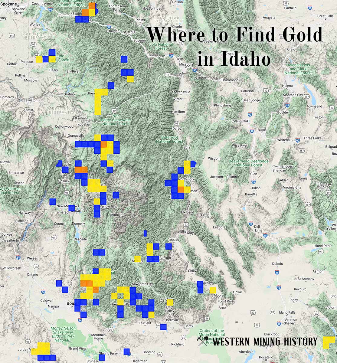
"Where to Find Gold in Idaho" looks at the density of modern placer mining claims along with historical gold mining locations and mining district descriptions to determine areas of high gold discovery potential in Idaho. Read more: Where to Find Gold in Idaho.