The Pacific Mine is a fluorine-fluorite, silver, and lead mine located in Custer county, Idaho at an elevation of 7,799 feet.
About the MRDS Data:
All mine locations were obtained from the USGS Mineral Resources Data System. The locations and other information in this database have not been verified for accuracy. It should be assumed that all mines are on private property.
Mine Info
Elevation: 7,799 Feet (2,377 Meters)
Commodity: Fluorine-Fluorite, Silver, Lead
Lat, Long: 44.4111, -114.31970
Map: View on Google Maps
Pacific Mine MRDS details
Site Name
Primary: Pacific Mine
Secondary: One of Mc Gregor Group
Secondary: Salmon River Group
Secondary: Silver Brick
Secondary: Blain
Secondary: Gleenland
Secondary: Bayhorse
Secondary: Dave
Secondary: Hoosier
Secondary: Beardsley
Secondary: Democrat
Secondary: Grant
Secondary: Jackson
Secondary: Jefferson
Secondary: Little Fellow
Secondary: W.T. Sherman
Secondary: Beardsley Ext.
Secondary: Lincoln
Secondary: Keno
Secondary: Pacific Fluorspar Deposit
Commodity
Primary: Fluorine-Fluorite
Primary: Silver
Primary: Lead
Secondary: Zinc
Tertiary: Gold
Tertiary: Copper
Location
State: Idaho
County: Custer
District: Bayhorse District
Land Status
Land ownership: Private
Note: the land ownership field only identifies whether the area the mine is in is generally on public lands like Forest Service or BLM land, or if it is in an area that is generally private property. It does not definitively identify property status, nor does it indicate claim status or whether an area is open to prospecting. Always respect private property.
Holdings
Type: Private Lease
Type: Located Claim
Type: Patented
Workings
Type: Underground
Ownership
Owner Name: N. L. Industries
Production
Year: 1908
Time Period: 1901-1908
Material type: ORE
Description: Cp_Grade: ^2 Oz Ag/Unit Pb, Au, Cu, Zn, 10 - 50 % Pb
Deposit
Record Type: Site
Operation Category: Past Producer
Operation Type: Underground
Discovery Method: Unknown
Years of Production:
Organization:
Significant: N
Deposit Size: S
Physiography
General Physiographic Area: Rocky Mountain System
Physiographic Province: Northern Rocky Mountains
Physiographic Detail: Salmon River Mountains
Mineral Deposit Model
Not available
Orebody
Form: PODS
Structure
Type: R
Description: Bayhorse Anticline
Alterations
Alteration Type: L
Alteration: MODERATE SILICIFICATION
Rocks
Name: Limestone
Role: Host
Age Type: Host Rock
Age Young: Late Cambrian
Name: Limestone
Role: Host
Age Type: Host Rock Unit
Age Young: Late Cambrian
Analytical Data
Analytical Data: ANALYSIS OF HAND-PICKED MATERIAL: 50 - 60 % PB, 60 - 80 OZ AG/TON, 2 - 3 % ZN
Analytical Data: SOME SAMPLES: 30 - 60 % CAF2
Materials
Ore: Fluorite
Ore: Galena
Gangue: Quartz
Comments
Comment (Workings): 2 Tunnels
Comment (Production): Value $65000
Comment (Development): Mine Now Open For Fluorspar
References
Reference (Deposit): 1974 Compile 71st Ann. State Mine Inspector'S Rept., 1973
Reference (Production): Ross, C. P., 1937, Geology And Ore Deposits Of The Bayhorse Region, Custer County, Idaho: USGS Bulletin 877, 161 P., P. 130.
Reference (Deposit): Hodges, In Preparation, Ms Thesis Oregon St Univ, Corvallis, Oregon
Reference (Deposit): Hobbs Hays & Mcintyre 1975 USGS Op-File Rept 23p.
Reference (Deposit): Mcilroy & Others 1974 USBM Ic 8646, 60 P.
Reference (Deposit): Batty, J.V., H.D. Snedden, G.M. Potter, And Bik. Shibler.
Reference (Deposit): Shawe & Others 1976 USGS Prof Paper 933 P 35-38
Reference (Deposit): Bumines. Availability Of U.S. Primary Lead Resources, Ic-8646, 1974, 60 Pp.
Reference (Deposit): Concentration Of Fluorite Ores From Az, Ca, Id, Mt, Nv, And Wy. Bumines Ri 4133, Nov, 1947, 28 Pp.
Reference (Deposit): BLM. White Cloud Peaks Idaho, 1:250000 Scale Map, Surface-Minerals Management Status, 1979.
Reference (Deposit): Hobbs, S.W., Structural And Stratigraphic Controls Of Ore Deposits In The Bayhorse Area, Idaho. USGS Bulletin 1658 A-S, Pp. 134-140.
Reference (Deposit): Anderson 1954 Id Bur Mines And Geol Pamph 101, P 13
Reference (Deposit): Chambers 1966 Phd Dissertation, Univ Of Ariz, Tucson, Ariz
Reference (Deposit): Umpleby, J. B., 1913, Some Ore Deposits In Northwestern Custer County, Idaho: USGS Bulletin 539, 104 P.
Reference (Deposit): Ross, C. P., 1937, Geology And Ore Deposits Of The Bayhorse Region, Custer County, Idaho: USGS Bulletin 877, 161 P.
Reference (Deposit): 1913 Geolmap Umpleby, J. B., Bulletin 539
Reference (Deposit): 1937 Geolmap Ross, C. P., Bulletin 877
Reference (Deposit): Snyder, K.D. Geology Of The Bayhorse Fluorite Deposit, Custer Co., Id, Econ. Geol. V. 73, 1978, Pp. 207-214.
Reference (Deposit): Griner, W. C., 1974, Seventy - First Annual Report Of The Mining Industry Of Idaho For The Year 1973 - 1974, 98 P.
Reference (Deposit): Kauffman, J.D. Description And Evaluation Of The Pacific Property, Custer Co., Idaho. USBM Grant G0264004, Jan., 1977, 9 Pp.
Idaho Gold

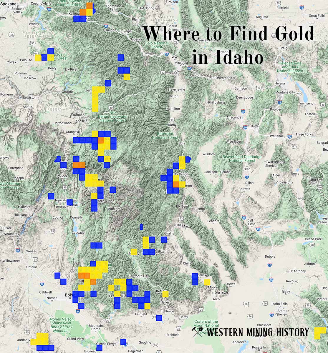
"Where to Find Gold in Idaho" looks at the density of modern placer mining claims along with historical gold mining locations and mining district descriptions to determine areas of high gold discovery potential in Idaho. Read more: Where to Find Gold in Idaho.