The Copper Chief Mine is a copper mine located in Latah county, Idaho at an elevation of 2,379 feet.
About the MRDS Data:
All mine locations were obtained from the USGS Mineral Resources Data System. The locations and other information in this database have not been verified for accuracy. It should be assumed that all mines are on private property.
Mine Info
Elevation: 2,379 Feet (725 Meters)
Commodity: Copper
Lat, Long: 46.7289, -116.63860
Map: View on Google Maps
Copper Chief Mine MRDS details
Site Name
Primary: Copper Chief Mine
Commodity
Primary: Copper
Tertiary: Kyanite
Tertiary: Cobalt
Location
State: Idaho
County: Latah
District: Troy District
Land Status
Land ownership: Private
Note: the land ownership field only identifies whether the area the mine is in is generally on public lands like Forest Service or BLM land, or if it is in an area that is generally private property. It does not definitively identify property status, nor does it indicate claim status or whether an area is open to prospecting. Always respect private property.
Holdings
Not available
Workings
Type: Underground
Ownership
Owner Name: Troy Sillimanite Co.; Al And Robt. Olson
Owner Name: Olsen, Al And Robert
Production
Not available
Deposit
Record Type: Site
Operation Category: Past Producer
Operation Type: Unknown
Discovery Method: Unknown
Years of Production:
Organization:
Significant: N
Deposit Size: S
Physiography
General Physiographic Area: Intermontane Plateaus
Physiographic Province: Columbia Plateau
Physiographic Section: Walla Walla Plateau
Physiographic Detail: Palouse Range
Mineral Deposit Model
Not available
Orebody
Form: LENTICULAR
Structure
Not available
Alterations
Not available
Rocks
Name: Schist
Role: Host
Age Type: Host Rock Unit
Age Young: Neoproterozoic
Name: Schist
Role: Host
Age Type: Associated Rock Unit
Age Young: Late Cretaceous
Name: Schist
Role: Host
Age Type: Host Rock
Age Young: Neoproterozoic
Analytical Data
Not available
Materials
Ore: Cobaltite
Ore: Chalcopyrite
Ore: Bornite
Ore: Sillimanite
Gangue: Quartz
Comments
Comment (Production): APPROX. VALUES, CONSIDERABLE HIGH GRADING REPORTED COULD RESULT IN CONSERVATIVE ESTIMATES. ALSO UNPUBLISHED PRODUCTION FIGURES FOR INDIVIDUAL MINES IN DISTRICT PLACE TOTAL PRODUCTION CONSIDERABLY HIGHER
Comment (Geology): QTZ. VEINS CONTAINING AU, AG, AND SOME CU CUT RHYOLITE ASH FLOW TUFFS IN THE EASTERN PART OF DISTRICT, AND CUT SIMILAR RX AND INT. VOLC. RX IN THE WEST.
Comment (Deposit): WITH DECREASING SUPPLIES OF BAUXITE, ALUNITE MUST AGAIN BE CONSIDERED AS AN IMPORTANT SOURCE OF ALUMINA
Comment (Location): 6 MI W OF TEXAS RIDGE; ADJOINS TROY SILLIMANITE CO. PROSPECT
Comment (Workings): 3 ADITS AT DIFFERENT ELEVATIONS ALONG CREEK NEAR CREEK BED. SEVERAL HUNDRED FEET WORKINGS.
Comment (Production): SOME CU MATTE SMELTED IN CRUDE FURNACE
Comment (Development): 7/8 INCH CORE DRILLING MACHINE USED. 3 UNPATENTED CLAIMS IN 1921
Comment (Deposit): ABOUT 10 ACRES
Comment (Location): 27 MI. BY ROAD NE OF HAWTHORNE VIA RYAN CANYON AND NUGENT WASH
References
Reference (Deposit): HUBBARD, C. R., 1956, IDAHO BUREAU OF MINES AND GEOLOGY OPEN-FILE REPORT, 1 P.
Reference (Deposit): HUBBARD, C. R., 1957, MINERAL RESOURCES OF LATAH COUNTY: IDAHO BUREAU OF MINES AND GEOLOGY COUNTY REPT. 2, 29 P.
Reference (Deposit): 1956 RECON IDAHO BUREAU OF MINES AND GEOLOGY OPEN-FILE REPT.
Reference (Deposit): 1957 OTHER IDAHO BUREAU OF MINES AND GEOLOGY CO. REPT. 2
Idaho Gold

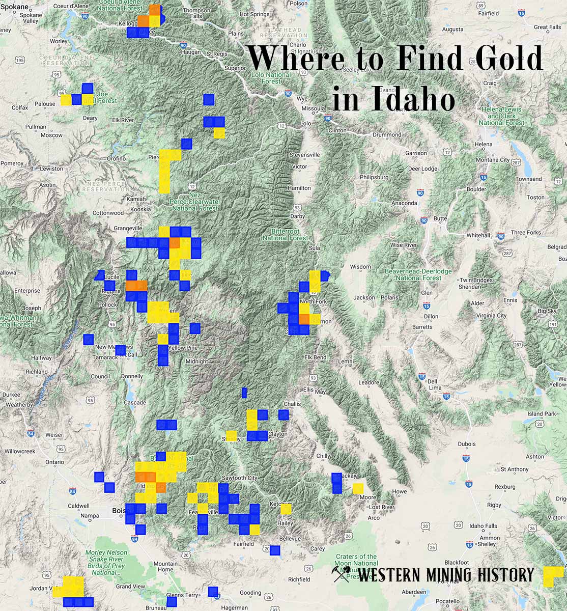
"Where to Find Gold in Idaho" looks at the density of modern placer mining claims along with historical gold mining locations and mining district descriptions to determine areas of high gold discovery potential in Idaho. Read more: Where to Find Gold in Idaho.