The Waterloo Mine is a phosphorus-phosphates mine located in Bear Lake county, Idaho at an elevation of 6,601 feet.
About the MRDS Data:
All mine locations were obtained from the USGS Mineral Resources Data System. The locations and other information in this database have not been verified for accuracy. It should be assumed that all mines are on private property.
Mine Info
Elevation: 6,601 Feet (2,012 Meters)
Commodity: Phosphorus-Phosphates
Lat, Long: 42.3217, -111.23750
Map: View on Google Maps
Waterloo Mine MRDS details
Site Name
Primary: Waterloo Mine
Secondary: Montpelier Canyon
Secondary: Montpelier Canyon, Area A
Secondary: Waterloo Hill Mine
Commodity
Primary: Phosphorus-Phosphates
Tertiary: Oil Shale
Tertiary: Fluorine-Fluorite
Tertiary: REE
Tertiary: Uranium
Tertiary: Vanadium
Location
State: Idaho
County: Bear Lake
District: Montpelier District
Land Status
Land ownership: BLM Administrative Area
Note: the land ownership field only identifies whether the area the mine is in is generally on public lands like Forest Service or BLM land, or if it is in an area that is generally private property. It does not definitively identify property status, nor does it indicate claim status or whether an area is open to prospecting. Always respect private property.
Holdings
Type: Patented
Workings
Type: Surface/Underground
Ownership
Owner Name: Stauffer Chemical Co.
Info Year: 1975
Owner Name: San Francisco Chemical Co.
Production
Not available
Deposit
Record Type: Site
Operation Category: Past Producer
Operation Type: Surface
Year First Production: 1907
Discovery Year: 1907
Discovery Method: Ore-Mineral In Place
Years of Production:
Organization:
Significant: N
Deposit Size: M
Physiography
General Physiographic Area: Rocky Mountain System
Physiographic Province: Middle Rocky Mountains
Physiographic Detail: Preuss Range
Mineral Deposit Model
Not available
Orebody
Form: TABULAR, SEDIMENTARY
Structure
Type: R
Description: Montpelier Anticline
Type: L
Description: Minor Faults
Alterations
Not available
Rocks
Name: Sandstone
Role: Associated
Age Type: Host Rock
Age Young: Late Permian
Analytical Data
Analytical Data: DISTILLATION TESTS FOUND TRACE OIL IN 1 PHOSPHATE SAMPLE
Analytical Data: OTHER SAMPLES AVG. 30.68 % P2O5
Analytical Data: RANDOM SAMPLES AVG. 30.91 % P2O5
Materials
Ore: Oil Shale
Unknown: Calcite
Unknown: Collophane
Unknown: Dolomite
Unknown: Feldspar
Unknown: Limonite
Unknown: Muscovite
Unknown: Quartz
Unknown: Sericite
Comments
Comment (Production): Waterloo Hill Mine San Francisco Chemical Co. Was First Large Scale Producer Of Phosphate Rock In Western Field. Waterloo Hill Was Underground, Developed By Adits And Crosscuts, And Stopes Were Driven Above Entry Level In The 4-5 Foot Thick High-Grade Beds. Mine Operated From 1907-1920 1921-1929. Form 1945-1960 Mine Was First Open-Pit Mine In The Western Field. In 1920 American Phosphate Co.Started Development Of The Deposits On The North Side Of Monpelier Canyon. From There Total Production Was 20,000 St Or Ore.
Comment (Development): Econ.Com: Beds Conveniently Situated For Ready Accessibility And Economical Mining ( 1910 )
Comment (Deposit): 1400 Acre Area Held As Phosphate Land ( 1927 )
Comment (Deposit): Leaching Of Calcium Results In Greater P205 Percentage. Area A, Etc. Refers To Phosphate Study By Garrand Corp. The North Section And The Southeast Section Still Contain Re Deposit Also In T12s T45e Sec 30 And T13s R45e Sec 5,6,7 Bannock Overthrust Has Carried The Phosphoria Formation Into The Area. Average Mining Depth Will Be 463 Ft Mine Not Included In Eis For S.E. Idaho Phosphate
Comment (Production): Waterloo Mine Open 1907 - 1920 , 1921 - 1928 , 1945 - 1947 , 1952 - 1959 For Production; Was Only Phosphate Producer In State Until 1917 ; 1907 - 1929 Underground, 1945 - 1960 Open - Pit
Comment (Reserve-Resource): Both Est. For T 13 S, R 45 E
References
Reference (Deposit): Garrand, Leonard. 1975. Phosphate Study Of Se Idaho
Reference (Deposit): Day, R.L., 1973, Idaho Bureau Of Mines And Geology, Pamphlet
Reference (Deposit): Kirkham, V.R.O., 1924, Am. Inst. Mining And Met. Engin.Paper
Reference (Deposit): Mcdivitt, J.F., 1956, Idaho Bureau Of Mines And Geology, Pamphlet
Reference (Deposit): Mansfield, G. R., 1927 , Geography, Geology, And Mineral Resources Of Part Of Southeastern Idaho: USGS Prof. Paper 152 , 453 P.
Reference (Deposit): Service, A. L., 1966 , An Evaluation Of The Western Phosphate Industry And Its Resources, Part 3 , Idaho: USBM Rept. Inv. 6801 , 201 P.
Reference (Deposit): USGS, 1975 , Development Of Phosphate Resources In Southeastern Idaho: Draft Environmental Impact Statement, V. 1 , Pt. 1 , P. 22
Reference (Deposit): Winchester, D. E., 1923 , Oil Shale Of The Rocky Mountain Region: USGS Bulletin 729 , 204 P.
Reference (Deposit): 5) Gale, H. S., And Richards, R. W., 1910 , Preliminary Report On The Phosphate Deposits In Southeastern Idaho And Adjacent Parts Of Wyoming And Utah: USGS Bulletin 430 , P. 457 - 535
Reference (Deposit): 1910 Recon H. S. Gale And R. W. Richards, Bulletin 430
Reference (Deposit): 1923 Recon D. E. Winchester, Bulletin 729
Reference (Deposit): 1927 Recon G. R. Mansfield, Prof. Paper 152 { 1975 Recon Draft Environmental Impact Statement, V. 1
Reference (Deposit): 1966 Recon USBM Rept. Inv. 6801
Reference (Production): Item 8 , USGS, 1975 , Draft Environmental Impact, Statement, V. 1 ; Items 1 , 2 , 9 , Mansfield, G. K., 1927 , USGS Prof. Paper 152
Reference (Deposit): King, D.L., Mining Engineering, Vol. 1, #8, 1949, Pg. 284-28.
Idaho Gold

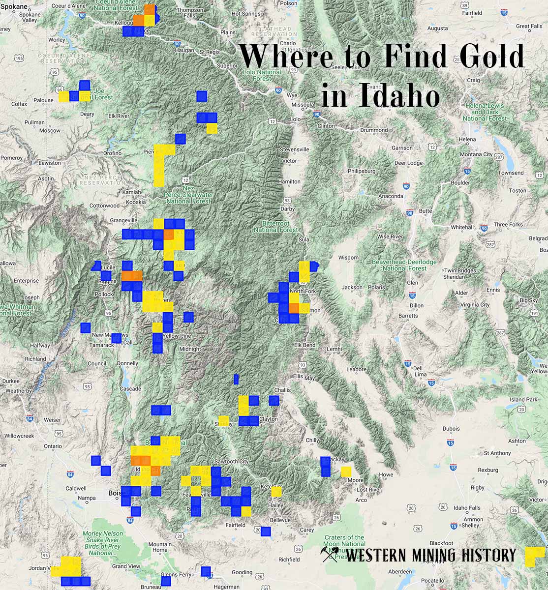
"Where to Find Gold in Idaho" looks at the density of modern placer mining claims along with historical gold mining locations and mining district descriptions to determine areas of high gold discovery potential in Idaho. Read more: Where to Find Gold in Idaho.