The Mace Mine is a silver and lead mine located in Shoshone county, Idaho at an elevation of 4,974 feet.
About the MRDS Data:
All mine locations were obtained from the USGS Mineral Resources Data System. The locations and other information in this database have not been verified for accuracy. It should be assumed that all mines are on private property.
Mine Info
Elevation: 4,974 Feet (1,516 Meters)
Commodity: Silver, Lead
Lat, Long: 47.5244, -115.83640
Map: View on Google Maps
Mace Mine MRDS details
Site Name
Primary: Mace Mine
Secondary: Standard - Mammoth Mine
Secondary: Standard Mine
Secondary: Mammoth Mine
Secondary: Greenhill - Cleveland Mine
Commodity
Primary: Silver
Primary: Lead
Secondary: Zinc
Tertiary: Gold
Tertiary: Copper
Location
State: Idaho
County: Shoshone
District: Lelande
Land Status
Land ownership: Private
Note: the land ownership field only identifies whether the area the mine is in is generally on public lands like Forest Service or BLM land, or if it is in an area that is generally private property. It does not definitively identify property status, nor does it indicate claim status or whether an area is open to prospecting. Always respect private property.
Holdings
Not available
Workings
Type: Underground
Ownership
Owner Name: Green Hill-Cleveland Mining Co.
Percent: 100.0
Home Office: Missoula, Montana
Years: 1912 -
Owner Name: Federal Mining & Smelting Co.
Percent: 100.0
Home Office: New York
Years: 1903 - 1953
Owner Name: Mammoth Mining Co.
Percent: 100.0
Home Office: Wallace, Idaho
Years: 1886 - 1903
Owner Name: The Standard Mining Co.
Percent: 100.0
Home Office: Wallace, Idaho
Years: 1891 - 1903
Production
Year: 1917
Time Period: 1887-1917
Mined: 4028660.000 mt
Material type: Ore
Year: 1959
Time Period: 1901-1952
Mined: 4441580.000 mt
Material type: Ore
Description: Cp_Grade: ^6.5 Oz/Ton Ag, 7.5% Pb, 0.2% Zn
Year: 1983
Time Period: 1887-1965
Mined: 3414547.000 mt
Material type: Ore
Year: 1983
Time Period: 1902-1918
Mined: 717989.000 mt
Material type: Ore
Deposit
Record Type: Site
Operation Category: Past Producer
Deposit Type: HYDROTHERMAL VEIN AND REPLACEMENT
Plant Type: Beneficiation (Mill)
Plant Subtype: Flotation
Operation Type: Underground
Milling Method: Flotation
Year First Production: 1890
Year Last Production: 1965
Discovery Year: 1887
Discovery Method: Ore-Mineral In Place
Years of Production:
Organization:
Significant: Y
Deposit Size: L
Physiography
General Physiographic Area: Rocky Mountain System
Physiographic Province: Northern Rocky Mountains
Physiographic Detail: Coeur D'Alene Mountains
Mineral Deposit Model
Model Name: Polymetallic veins
Orebody
Name: Standard-Mammoth Vein
Form: PINCH AND SWELL
Structure
Type: L
Description: Standard Fault, a shear plane subsidiary to the Osburn Fault to the south.
Alterations
Alteration Type: L
Alteration Text: Zone of disseminated siderite extends 10s to 100s of meters out from the veins, passing into a siderite-ankerite zone up to 10s of meters wide, and then into a zone of ankerite-calcite 100s of meters wide.
Rocks
Name: Quartzite
Role: Host
Age Type: Host Rock Unit
Age Young: Neoproterozoic
Analytical Data
Not available
Materials
Ore: Chalcopyrite
Ore: Sphalerite
Ore: Galena
Ore: Tetrahedrite
Gangue: Pyrrhotite
Gangue: Siderite
Gangue: Hematite
Gangue: Quartz
Gangue: Pyrite
Gangue: Barite
Gangue: Magnetite
Trace: Cerussite
Trace: Silver
Trace: Plattnerite
Trace: Chalcostibite
Trace: Calcite
Trace: Massicot
Trace: Azurite
Trace: Arsenopyrite
Trace: Pyromorphite
Trace: Pyrargyrite
Comments
Comment (Commodity): BARIUM PRESENT IN ANALYSED ORE. MINE IN THE REX-SNOWSTORM MINERAL BELT.
Comment (Development): 3 PATENTED CLAIMS IN THE STANDARD-MAMMOTH GROUP; 34 PATENTED CLAIMS IN THE MACE GROUP.
Comment (Deposit): DEPTHS TO TOP, BOTTOM, ARE EXPRESSED IN ELEVATION ON STANDARD-MAMMOTH VEIN
Comment (Workings): DEPTH BELOW SURFACE IS A 1923 FIGURE
Comment (Production): Crosby (1959) combined production of Standard-Mammoth and Greenhill-Cleveland mines.
Comment (Reserve-Resource): Reserves long depleted.
Comment (Orebody): The Standard-Mammoth orebody pitches steeply down to the east coincident with the intersection of the vein with the Standard Fault on the vein's east end. The vein frays out and narrows to the west.
Comment (Deposit): MAMMOTH MINE PORTION HAD OXIDIZED ORE NEAR SURFACE. BURKE FORMATION STRIKES N 39 DEG W, DIPS 45 - 75 DEG SW.
Comment (Commodity): Standard-Mammoth Mill was located down Canyon Creek from the mine at a point just northeast of Wallace in section 26, T48N R4E.
Comment (Production): Asarco data; includes Standard, Mammoth, and Greenhill-Cleveland mines.
Comment (Production): Mitchell and Bennett (1983) using US Bureau of Mines and Asarco data. "Grades" are in terms of metal recovered at smelter per ton of ore, not the amount of metal in the ore. Data for Standard-Mammoth mine only.
Comment (Production): Mitchell and Bennet (1983) from US Bureau of Mines data. "Grades" are reported in terms of reovered metal per ton, not the amount of metal in ore. Production for Greenhill-Cleveland mine only.
References
Reference (Deposit): Fryklund, V. C., Jr., 1964 , Ore deposits of the Coeur d'Alene district, Shoshone County, Idaho: US Geological Survey Professional Paper 445 , 103 p.
Reference (Production): Mitchell, V.E., and Bennett, E.H., 1983, Production statistics for the Coeur d'Alene mining district, Shoshone County, Idaho, 1884-1980: Idaho Geological Survey Technical Report 83-3, 33 p.
Reference (Deposit): Ransome, F. L., and Calkins, F. C., 1908 , The geology and ore deposits of the Coeur d'Alene district, Idaho: US Geological Survey Professional Paper 62 , 203 p.
Reference (Deposit): Umpleby, J. B., and Jones, E. L., Jr., 1923 , Geology and ore deposits of Shoshone County, Idaho: US Geological Survey Bulletin 732 , 156 p.
Reference (Geology): Griggs, A. B., 1952 , Geology and notes on ore deposits of Canyon - Nine Mile Creeks Area, Shoshone County, Idaho: US Geological Survey Open File Report 55-55, 108 p.
Reference (Production): Crosby, Garth M., 1959, The mineral belts north of Osburn fault, Coeur d'Alene district, Shoshone County, Idaho: Minneapolis, University of Minnesota, GE thesis, 39 p.
Idaho Gold

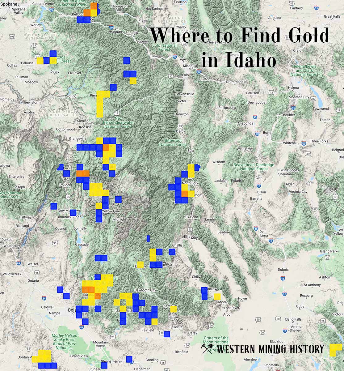
"Where to Find Gold in Idaho" looks at the density of modern placer mining claims along with historical gold mining locations and mining district descriptions to determine areas of high gold discovery potential in Idaho. Read more: Where to Find Gold in Idaho.