The Sherwood Mine is a uranium mine located in Stevens county, Washington at an elevation of 2,201 feet.
About the MRDS Data:
All mine locations were obtained from the USGS Mineral Resources Data System. The locations and other information in this database have not been verified for accuracy. It should be assumed that all mines are on private property.
Mine Info
Elevation: 2,201 Feet (671 Meters)
Commodity: Uranium
Lat, Long: 47.88111, -118.11972
Map: View on Google Maps
Sherwood Mine MRDS details
Site Name
Primary: Sherwood Mine
Secondary: Sherwood
Secondary: Sherwood Project
Secondary: Northwest Uranium
Secondary: Northwest Uranium Peters Lease
Secondary: Northwest Uranium Peter's Lease
Secondary: Peters Lease
Secondary: Silver Buckle
Commodity
Primary: Uranium
Location
State: Washington
County: Stevens
Land Status
Land ownership: Indian Reservation
Note: the land ownership field only identifies whether the area the mine is in is generally on public lands like Forest Service or BLM land, or if it is in an area that is generally private property. It does not definitively identify property status, nor does it indicate claim status or whether an area is open to prospecting. Always respect private property.
Administrative Organization: Spokane Indian Reservation
Holdings
Type: Unknown
Workings
Not available
Ownership
Owner Name: Northwest Uranium Mines, Inc.
Percent: 100.0
Home Office: Wallace, Idaho
Info Year: 1955
Production
Not available
Deposit
Record Type: Site
Operation Category: Past Producer
Operation Type: Surface
Years of Production:
Organization:
Significant: N
Deposit Size: L
Physiography
Not available
Mineral Deposit Model
Not available
Orebody
Form: IRREGULAR
Structure
Not available
Alterations
Not available
Rocks
Name: Andesite
Role: Associated
Age Type: Host Rock Unit
Age Young: Pliocene
Name: Andesite
Role: Associated
Age Type: Host Rock
Age Young: Pliocene
Analytical Data
Not available
Materials
Not available
Comments
Comment (Deposit): RELEASE IN 1975 BY US GEOLOGICAL SURVEY OF THE FIRST GEOLOGICAL MAP OF THE URANIUM BELT IN THE MT. SPOKANE AREA ENCOURAGED EXPLORATION ; INFO.SRC : 1 PUB LIT
Comment (Workings): OPEN PIT MINE. MILL CONSTRUCTION: $40 MILLION, STARTED 1977: TO BE IN FULL OPERATION MID- 1978.
Comment (Location): LOCATED ON SPOKANE INDIAN RESERVATION
Comment (Geology): GEOL.ENV: COVER ROCKS IN SUCCESSOR BASINS
Comment (Reserve-Resource): (1) 1976-1977, WORLD MINES REGISTER, P. 204.
Comment (Location): Also in sections 24, 25, 26, T28N, R37E, and Secs. 1, 2, 3, T27N, R37E. Large disturbed area shown on topo map.
Comment (Identification): old MAS 0530650757 = USGS old MRDS SP00514 old MAS 0530650861 = USGS old MRDS W031577
Comment (Production): EXPECTED PRODUCTION: ONE MILLION POUNDS OF U3O8 ANNUALLY(MINERALS YRBK, 1976.
References
Reference (Deposit): 1978, ENGINEERING AND MINING JOURNAL SECOND OPERATING HANDBOOK OF MINERAL PROCESSING, VOL. 4, NEW YORK, MCGRAW-HILL, INC., PP. 186 - 191.
Reference (Deposit): WA STATE BULL 37 PT II,VOL I,P 356;
Reference (Deposit): WDGER OFR 90-18
Reference (Deposit): NASH, J. T., AND WILLIAMS, J. F., 1975, U.S. BUR. INDIAN AFF ADMINISTRATIVE REPT. BIA-10, P. 28-29.
Reference (Production): LINES 1 AND 2: ROSKILL, 1981.
Reference (Deposit): ROSKILL INFORMATION SERV., 1981, URANIUM AND PLUTONIUM, AND THE GROWTH OF NUCLEAR POWER 1980 TO 2030, P. 176.
Reference (Deposit): 1976- 1977, WORLD MINES REGISTER, VOL. 31, PUBLISHED BY WORLD MINING , MILLER FREEMAN PUBLICATIONS, INC., P. 204.
Reference (Deposit): 1977, THE MINERAL INDUSTRY OF WASHINGTON, PREPRINT FROM THE 1977 BUREAu OF MINES MINERALS YEARBOOK, P. 9.
Reference (Deposit): Huntting, M.T., 1957, Uranium in Washington--An extract from Bulletin 37, Inventory of Washington Minerals, part II, Metallic Minerals: Washington Division of Mines and Geology, Information Circular No. 26, 10 p, 1 plate.
Pages: p. 9.
Reference (Deposit): GUILD, PHILIP W., 1981, PRELIMINARY METALLOGENIC MAP OF NORTH AMERICA: A NUMERICAL LISTING OF DEPOSITS: U.S. GEOLOGICAL SURVEY CIRCULAR 858-A, 93 P.
Washington Gold

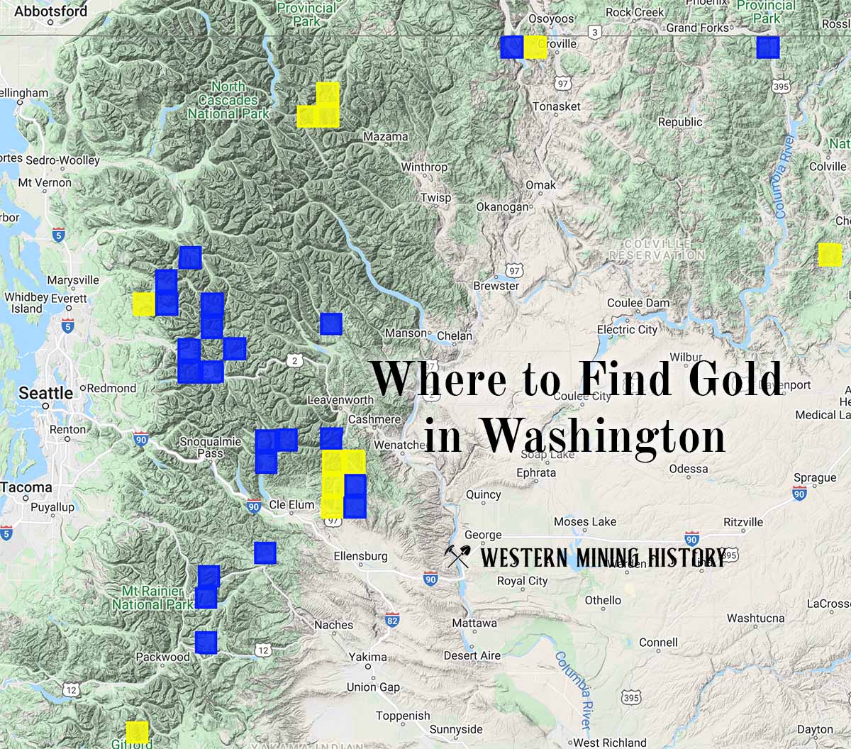
"Where to Find Gold in Washington" looks at the density of modern placer mining claims along with historical gold mining locations and mining district descriptions to determine areas of high gold discovery potential in Arizona. Read more: Where to Find Gold in Washington.