The American Flag is a gold, copper, zinc, and silver mine located in Okanogan county, Washington.
About the MRDS Data:
All mine locations were obtained from the USGS Mineral Resources Data System. The locations and other information in this database have not been verified for accuracy. It should be assumed that all mines are on private property.
Mine Info
Elevation:
Commodity: Gold, Copper, Zinc, Silver
Lat, Long: 48.75361, -118.84528
Map: View on Google Maps
American Flag MRDS details
Site Name
Primary: American Flag
Commodity
Primary: Gold
Primary: Copper
Primary: Zinc
Primary: Silver
Location
State: Washington
County: Okanogan
District: Wauconda
Land Status
Not available
Holdings
Not available
Workings
Not available
Ownership
Not available
Production
Not available
Deposit
Record Type: Site
Operation Category: Occurrence
Deposit Type: Vein
Operation Type: Unknown
Years of Production:
Organization:
Significant: N
Physiography
General Physiographic Area: Rocky Mountain System
Physiographic Province: Northern Rocky Mountains
Mineral Deposit Model
Not available
Orebody
Not available
Structure
Not available
Alterations
Not available
Rocks
Name: Trachyte
Role: Host
Age Type: Host Rock
Age Young: Eocene
Analytical Data
Not available
Materials
Ore: Chalcopyrite
Ore: Bornite
Ore: Gold
Ore: Sphalerite
Ore: Galena
Ore: Pyrite
Gangue: Quartz
Gangue: Sanidine
Gangue: Fluorite
Comments
Comment (Production): TW0 30-TON SHIPMENTS OF COPPER ORE MADE IN 1918-1919 (MOEN, 1980, P. 69).
Comment (Deposit): THE MAIN ADIT IS 97 FEET LONG AND TRENDS N45E ALONG A MINERALIZED SHEAR ZONE. SEVERAL SMALL PROSPECT PITS WERE PRESENT. DUMP SAMPLES COLLECTED BY MOEN (1980, P. 69) CONTAINED A TRACE TO 12.5 OZ/TON AG.
Comment (Geology): VOLCANIC ROCKS IN THIS PART OF THE TORADA CREEK GRABEN PLOT AS RHYOLITE ON A TAS DIAGRAM, BUT THEY CONTAIN SPARSE PLAGIOCLASE AND MAFIC PHENOCRYSTS IN AN APHANITIC GROUNDMASS THAT CONTAINS ABUNDANT PLAGIOCLASE MICROLITES. PLAGIOCLASE PHENOCRYSTS ARE COMMONLY STRONGLY SERICITIZED, AND MAFIC MINERALS ARE GENERALLY REPLACED BY SOME COMBINATION OF CHLORITE, CALCITE, EPIDOTE, AND SPHENE; SHAPES OF ALTERED MAFIC MINERALS SUGGEST THAT THEY WERE ORIGINALLY PYROXENE. THE PRESENCE OF SILICA STRINGERS AND VEINLETS IN SOME OF THESE ROCKS SUGGESTS THAT SILICA WAS INTRODUCED DURING ALTERATION (STOFFEL, 1990, P. 11).
References
Reference (Deposit): DORISY, C.E., 1937, INDEX OF MINERAL OCCURENCES IN THE STATE OF WASHINGTON (REVISED EDITION): WASHINGTON STATE PLANNING COUNCIL RESEARCH PUBLICATION 2, 47 P.
Reference (Deposit): HUNTTING, M. T., 1956, INVENTORY OF WASHINGTON MINERALS-PART II, METALLIC MINERALS: WASHINGTON DIVISION OF MINES AND GEOLOGY BULLETIN 37, V. 1, 428 P.; V. 2, 67 P.
Reference (Deposit): MOEN, W.S., 1980, MYERS CREEK AND WAUCONDA MINING DISTRICTS OF NORTHEASTERN OKANOGAN COUNTY, WASHINGTON: WASHINGTON DIVISION OF GEOLOGY AND EARTH RESOURCES BULLETIN 73, 96 P., 6 PL.
Reference (Deposit): WDGER OF 90-18
Reference (Deposit): STOFFEL, K.L., COMPILER, 1990, GEOLOGIC MAP OF THE REPUBLIC 1:100,000 QUADRANGLE, WASHINGTON: WASHINGTON DIVISION OF GEOLOGY AND EARTH RESOURCES OPEN-FILE REPORT 90-10, 62 P., 1 PL.
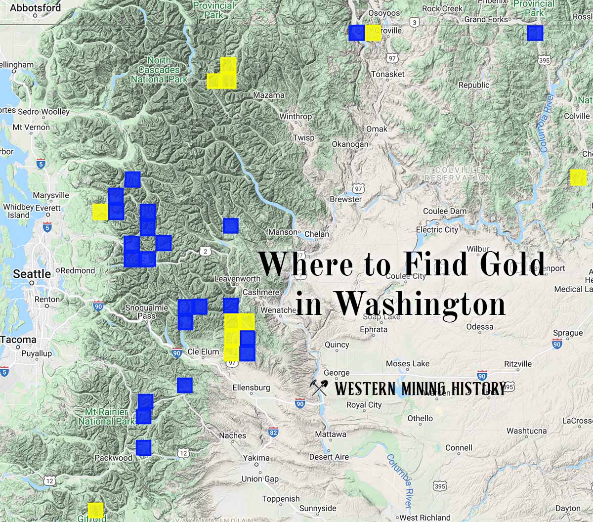
Washington Gold

"Where to Find Gold in Washington" looks at the density of modern placer mining claims along with historical gold mining locations and mining district descriptions to determine areas of high gold discovery potential in Arizona. Read more: Where to Find Gold in Washington.