The Carl Frederick Prospect is a silver mine located in Okanogan county, Washington at an elevation of 7,041 feet.
About the MRDS Data:
All mine locations were obtained from the USGS Mineral Resources Data System. The locations and other information in this database have not been verified for accuracy. It should be assumed that all mines are on private property.
Mine Info
Elevation: 7,041 Feet (2,146 Meters)
Commodity: Silver
Lat, Long: 48.64861, -119.92528
Map: View on Google Maps
Carl Frederick Prospect MRDS details
Site Name
Primary: Carl Frederick Prospect
Secondary: Bernhardt Mine
Commodity
Primary: Silver
Secondary: Lead
Location
State: Washington
County: Okanogan
District: Conconcully District
Land Status
Not available
Holdings
Not available
Workings
Type: Unknown
Ownership
Not available
Production
Not available
Deposit
Record Type: Site
Operation Category: Prospect
Operation Type: Unknown
Discovery Year: 1906
Discovery Method: Ore-Mineral In Place
Years of Production:
Organization:
Significant: N
Deposit Size: S
Physiography
General Physiographic Area: Pacific Mountain System
Physiographic Province: Cascade-Sierra Mountains
Physiographic Section: Northern Cascade Mountains
Mineral Deposit Model
Not available
Orebody
Form: ORE SHOOTS
Structure
Type: L
Description: Ore Shoots To 1 Foot Thick
Alterations
Not available
Rocks
Name: Diorite
Role: Associated
Age Type: Host Rock
Age Young: Late Cretaceous
Name: Diorite
Role: Associated
Age Type: Associated Rock Unit
Age Young: Late Cretaceous
Name: Diorite
Role: Associated
Age Type: Associated Rock
Age Young: Late Cretaceous
Analytical Data
Not available
Materials
Ore: Bromyrite
Ore: Pyrite
Ore: Galena
Ore: Argentite
Gangue: Quartz
Comments
Comment (Location): 500 FT WEST OF E4 COR; ON WEST SLOPE OF CLARK PEAK.
Comment (Commodity): 9 UNPATENTED CLAIMS.
Comment (Reserve-Resource): PATTY, 1921; MOEN, 1973
Comment (Development): ADITS, DRIFTS, STOPES, AND A WINZE.
Comment (Workings): AN ADIT 150 FT BELOW THE OUTCROP HAS BEEN DRIVEN ON THE VEIN FOR 400 FT; AT 350 FT A 50 FT DRIFT WAS DRIVEN ON AN ORE SHOOT. THIS ADIT CONTAINS AN INCLINED WINZE SUNK 38 FT BELOW THIS LEVEL (THE ORE WAS NOT BOTTOMED). FROM THE WINZE STOPES HAVE BEEN RUN ON TWO LEVELS; THE 1ST IS 20 FT BELOW THE COLLAR; THE 2ND IS AT AN UNKNOWN LEVEL, PROBABLY AT THE WINZE BOTTOM. 60 FT NW AND 220 FT VERTICALLY BELOW THIS MAIN ADIT, ANOTHER ADIT HAS BEEN DRIVEN N60E FOR 268 FT.
Comment (Deposit): QTZ FISSURE VEIN IN GRANODIORITE; VEIN CONTAINS ORE SHOOTS TO 1 FT THICK; VEIN HAS DISSEMINATED PYRITE.
Comment (Geology): A 1 FT THICK LAMPROPHYRE DIKE FORMS THE HANGING WALL OF THE VEIN.
Comment (Deposit): IN THE 2ND ADIT THE NW DIP WAS NOT TAKEN INTO ACCOUNT SO THE VEIN WAS NOT REACHED. BY TURNING AT A RIGHT ANGLE AND DRIVING AT LEAST 150 FT THE VEIN COULD BE REACHED. PATTY, 1921, SUGGESTS THE RICHEST ORE IS BETWEEN THE MAIN TUNNEL LEVEL AND THE SURFACE OUTCROPS. AT ABOUT -270 FT IN THE WINZE THERE IS 200-300 TONS OF BROKEN ORE, SAID TO AVG 20 OZS AG/TON. IF THE ORE IS OF THIS QUALITY AND THE VEIN DOES CONTINUTE DOWNWARD, THEN THERE COULD BE A FAIR AMOUNT OF POTENTIAL RESOURCES BOTH ABOVE AND BELOW THE MAIN TUNNEL.
References
Reference (Deposit): WASH. DMG BULL. 37, PART II, P. 301.
Reference (Deposit): WASH. GEOL. SUR. BULL 23, P. 256-257
Reference (Deposit): WASH. DMG IC 49, P. 35
Washington Gold

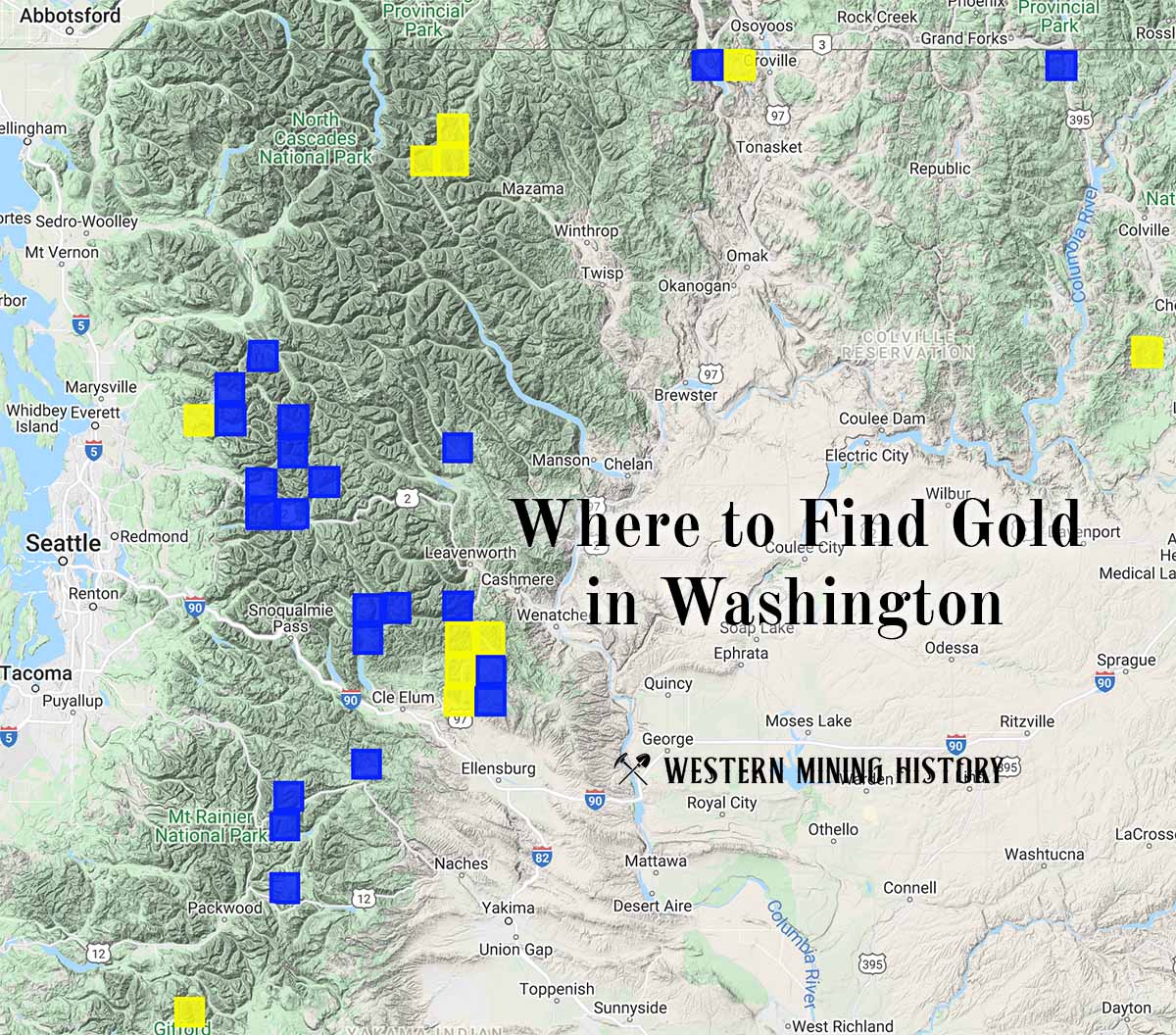
"Where to Find Gold in Washington" looks at the density of modern placer mining claims along with historical gold mining locations and mining district descriptions to determine areas of high gold discovery potential in Arizona. Read more: Where to Find Gold in Washington.