The Conjecture Mine is a silver mine located in Bonner county, Idaho at an elevation of 3,120 feet.
About the MRDS Data:
All mine locations were obtained from the USGS Mineral Resources Data System. The locations and other information in this database have not been verified for accuracy. It should be assumed that all mines are on private property.
Mine Info
Elevation: 3,120 Feet (951 Meters)
Commodity: Silver
Lat, Long: 47.91611, -116.42917
Map: View on Google Maps
Conjecture Mine MRDS details
Site Name
Primary: Conjecture Mine
Commodity
Primary: Silver
Secondary: Gold
Secondary: Lead
Secondary: Zinc
Secondary: Copper
Location
State: Idaho
County: Bonner
District: Lakeview District
Land Status
Not available
Holdings
Not available
Workings
Type: Underground
Ownership
Owner Name: Conjecture Mines Inc.
Owner Name: Federal Resources Corp.
Production
Not available
Deposit
Record Type: Site
Operation Category: Past Producer
Operation Type: Unknown
Year First Production: 1875
Discovery Year: 1888
Discovery Method: Ore-Mineral In Place
Years of Production:
Organization:
Significant: N
Deposit Size: M
Physiography
General Physiographic Area: Rocky Mountain System
Physiographic Province: Northern Rocky Mountains
Physiographic Detail: Selkirk Range
Mineral Deposit Model
Model Name: Polymetallic veins
Orebody
Form: IRREGULAR-PINCH AND SWELL
Structure
Type: R
Description: Purcell Trench To The North
Type: L
Description: Packsaddle-Johnson Fault, Spider Fault
Alterations
Alteration Type: L
Alteration Text: Silicification
Rocks
Name: Lamprophyre
Role: Associated
Age Type: Associated Rock
Age Young: Paleocene
Analytical Data
Not available
Materials
Ore: Argentite
Ore: Tetrahedrite
Ore: Sphalerite
Ore: Galena
Ore: Chalcopyrite
Gangue: Rhodochrosite
Gangue: Quartz
Gangue: Pyrite
Gangue: Siderite
Comments
Comment (Production): NO ACTUAL PRODUCTION FIGURES COULD BE FOUND. THE DISTRICT PRODUCED $2,500,000, WITH 24 TO 50 OZ/TON AG, $1.50/TON AU, $2.00/TON PB. CONJECTURE WAS THE MAIN PRODUCER.
Comment (Development): MINE WAS DISCOVERED IN 1888 BUT NOT LOCATED UNTIL 1894 ; ECON.COM: BAD GROUND AT 2000 FT LEVEL MAKES TUNNELING DANGEROUS
Comment (Geology): ST. REGIS - REVETT FMS., GREEN SILTITES & QUARTZITES. WALLACE FM., LIMESTONE, LIMY SILTSTONES & QUARTZITES.
References
Reference (Deposit): SAVAGE, C. N., 1967, GEOLOGY AND MINERAL RESOURCES OF BONNER COUNTY; IDAHO BUREAU OF MINES AND GEOLOGY, COUNTY REPORT NO. 6, 1967, P. 128
Reference (Deposit): SAMPSON, EDWARD, 1928, GEOLOGY AND SILVER ORE DEPOSITS OF THE PEND OREILLE DISTRICT, IDAHO: IDAHO BUREAU OF MINES AND GEOLOGY PAMPHLET 31, P. 25
Reference (Deposit): ROSS, C. P., 1941, THE METAL AND COAL MINING DISTRICTS OF IDAHO: IDAHO BUR. OF MINES AND GEOLOGY PAMPHLET 57, P. 263
Reference (Deposit): 1963 DIREXPL FEDERAL RESOURCES CORP. NEGATIV
Idaho Gold

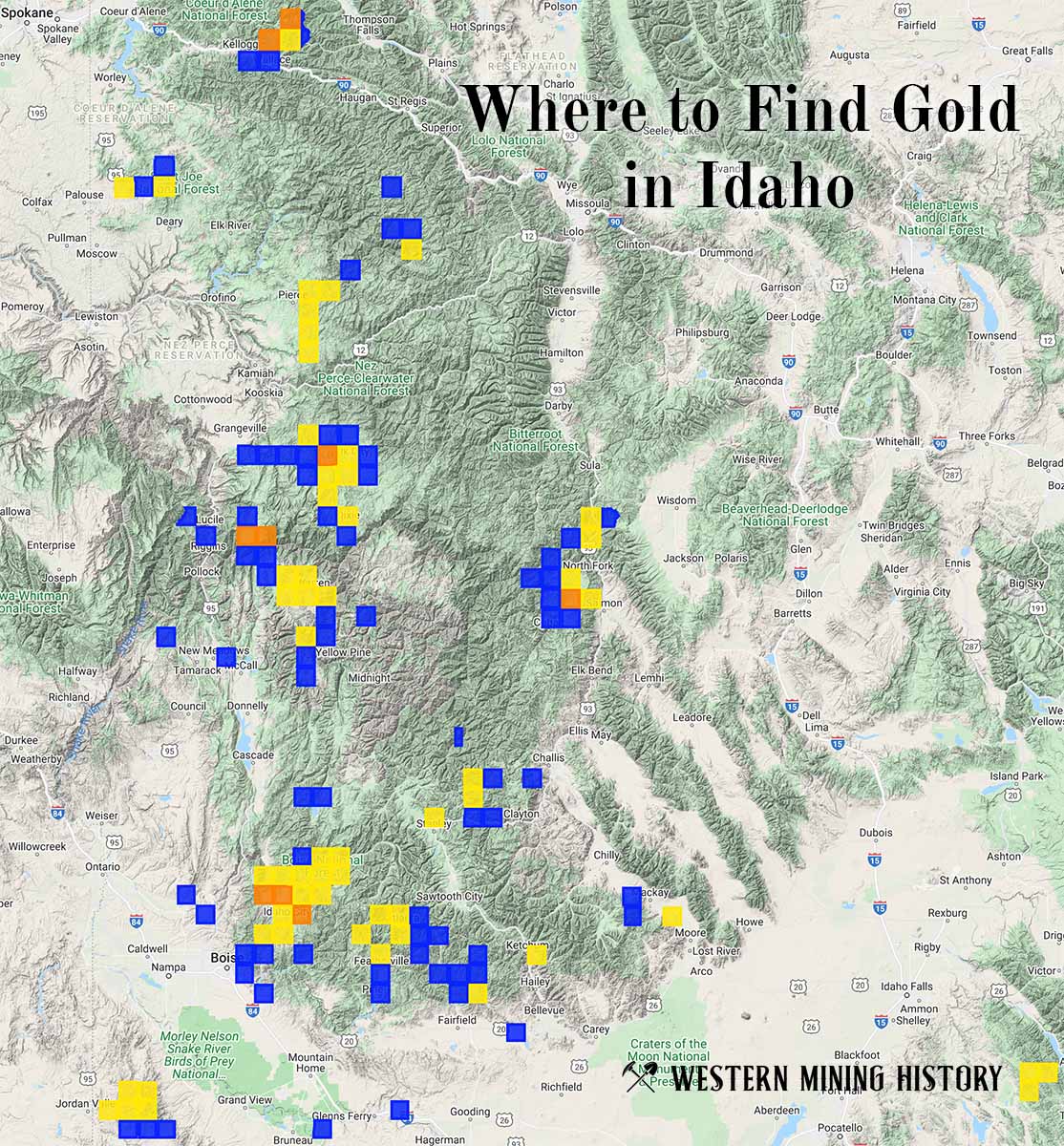
"Where to Find Gold in Idaho" looks at the density of modern placer mining claims along with historical gold mining locations and mining district descriptions to determine areas of high gold discovery potential in Idaho. Read more: Where to Find Gold in Idaho.