The Weimer Mine is a copper mine located in Clark county, Idaho at an elevation of 7,700 feet.
About the MRDS Data:
All mine locations were obtained from the USGS Mineral Resources Data System. The locations and other information in this database have not been verified for accuracy. It should be assumed that all mines are on private property.
Mine Info
Elevation: 7,700 Feet (2,347 Meters)
Commodity: Copper
Lat, Long: 44.1853, -112.85860
Map: View on Google Maps
Weimer Mine MRDS details
Site Name
Primary: Weimer Mine
Secondary: Paymaster
Secondary: Towlgreen Group
Secondary: Valley View
Secondary: Weimer Copper
Commodity
Primary: Copper
Secondary: Silver
Secondary: Gold
Tertiary: Lead
Location
State: Idaho
County: Clark
District: Birch Creek District
Land Status
Land ownership: Private
Note: the land ownership field only identifies whether the area the mine is in is generally on public lands like Forest Service or BLM land, or if it is in an area that is generally private property. It does not definitively identify property status, nor does it indicate claim status or whether an area is open to prospecting. Always respect private property.
Holdings
Type: Located Claim
Type: Patented
Workings
Type: Surface/Underground
Ownership
Owner Name: Jesse Knight
Owner Name: Weimer Copper Co.
Years: 1907 -
Production
Not available
Deposit
Record Type: Site
Operation Category: Past Producer
Operation Type: Surface
Year First Production: 1890
Discovery Year: 1885
Discovery Method: Unknown
Years of Production:
Organization:
Significant: N
Deposit Size: S
Physiography
General Physiographic Area: Rocky Mountain System
Physiographic Province: Northern Rocky Mountains
Physiographic Detail: Beaverhead Mountains
Mineral Deposit Model
Not available
Orebody
Form: TABULAR, IRREGULAR, PIPELIKE
Form: IRREGULAR, LENS, PIPE-LIKE
Structure
Type: L
Description: Minor Folding
Alterations
Alteration Type: L
Alteration Text: Oxidation, Cu Stains, Kaolinization
Rocks
Name: Quartzite
Role: Host
Age Type: Host Rock
Age Young: Late Devonian
Analytical Data
Not available
Materials
Ore: Galena
Ore: Malachite
Ore: Cuprite
Ore: Anglesite
Ore: Wulfenite
Ore: Chalcopyrite
Ore: Chrysocolla
Ore: Chalcocite
Gangue: Limonite
Gangue: Pyrite
Gangue: Barite
Gangue: Calcite
Gangue: Hematite
Comments
Comment (Deposit): 4 Ore Bodies On Paymaster No. 3 Claim - One Body Described Above; A Second Body Trended E-W, Was 50 Ft. Long, 2-30 Ft. Wide, and 2-7 Ft. Thick; A Third Body Trended E-W, Was 65 Ft. Long, 2-20 Ft. Wide, and Up To 7 Ft. Thick; the Last Body Has NW Trend, Was 30 Ft. Long, 12 Ft. Wide, and 6 Ft. Thick; Veins On the Valley View Claims (S. Side Skull Canyon) Had A N 60 Deg E Trend and 80 Deg N Dip
Comment (Geology): Copper Ore Bodies Occur In Limestone On N Side Skull Canyon, In Quartzite On S Side; Limestone Dips At Flat Angles To Ne; Fissure and Shear Zones Strike Ene and Dip Steeply N
Comment (Location): Claims Extend Southward From Skull Canyon On Both Sides
Comment (Production): Total Production Estimated At $70,000. 4 Cars of Cu-Au-Ag Ore Were Produced In 1906. Item 2 Was Hand-Sorted Ore. Item 8 Value $40,000. Item 9 By Henry Eidelman From Paymaster Workings.
Comment (Development): 17 Patented Claims, Most Work On Paymaster No. 3 Claim (N. Side Skull Canyon), Valley View Claim (S. Side Skull Canyon)
Comment (Deposit): 7-77 All References Show the Mine In Section 15 But the 7 M Sheet (Copper Mtn) Shows the Workings In Sec 22. The Point Location Is the Mine On the South Side of Skull Canyon. 7-77 Attitude & Dimensions On Record Sheet 080 Are For the B Like Deposit Discovered In 1952. Other Ore Bodies Follow Fr Or Bedding Planes In the Qtzite and Lmstone. These Deposits Generally Irregular Or Pipe-Like In Shape.
References
Reference (Deposit): Shenon, P. J., 1928, Geology And Ore Deposits Of The Birch Creek District, Idaho: Idaho Bureau Of Mines And Geology Pamphlet 27, 25 P.
Reference (Deposit): Anderson, A. L., And Wagner, W. R., 1944, Lead-Zinc-Copper Deposits Of The Birch Creek District, Clark And Lemhi Counties, Idaho: Idaho Bureau Of Mines And Geology Pamphlet 70, 43 P.
Reference (Deposit): Bell, R. N., 1907, Eighth Annual Report Of The Mining Industry Of Idaho For The Year 1906
Reference (Deposit): Bell, R. N., 1908, Ninth Annual Report Of The Mining Industry Of Idaho For The Year 1906
Reference (Deposit): 1907 Compile State Mine Inspector'S Report For 1906
Reference (Deposit): 1908 Compile State Mine Inspector'S Report For 1907
Reference (Deposit): 1944 Recon Idaho Bureau Of Mines And Geology Pamphlet 70
Reference (Deposit): 1928 Recon Idaho Bureau Of Mines And Geology Pamphlet 27
Reference (Production): Shenon, P. J., Idaho Bureau Of Mines And Geology Pamphlet 27; Item 1, Bell, R. N., 1907, Mining Industry Report; Item 2, Bell, R. N., 1908, Mining Industry Report For The Year 1907
Reference (Deposit): Reynolds 1953 (Unpublished) USBM Preliminary Examination Of Weimer Mine
Idaho Gold

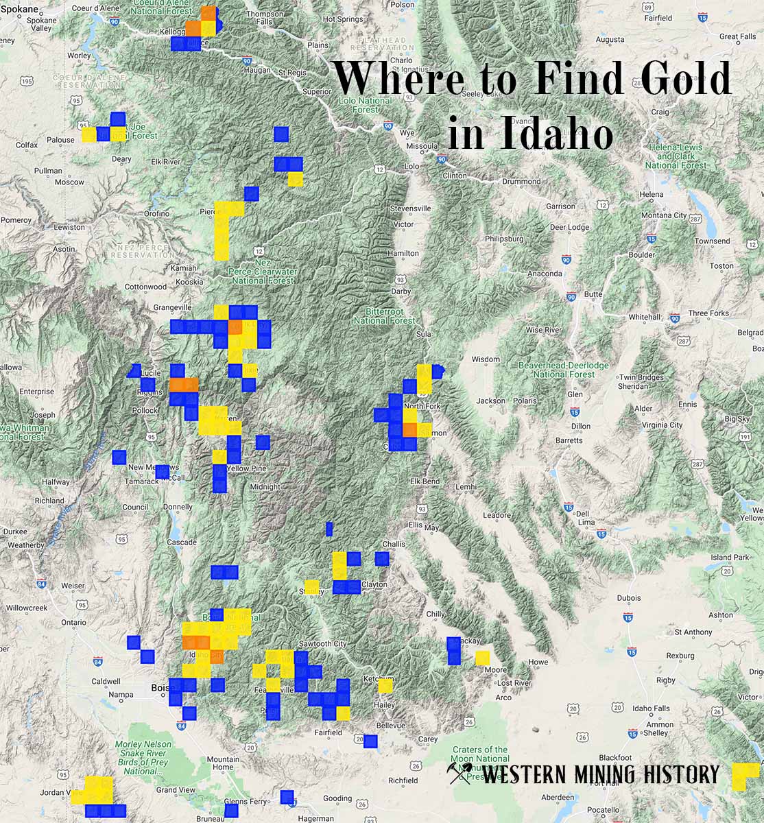
"Where to Find Gold in Idaho" looks at the density of modern placer mining claims along with historical gold mining locations and mining district descriptions to determine areas of high gold discovery potential in Idaho. Read more: Where to Find Gold in Idaho.