The Doerr Mine is a mica mine located in Latah county, Idaho at an elevation of 3,645 feet.
About the MRDS Data:
All mine locations were obtained from the USGS Mineral Resources Data System. The locations and other information in this database have not been verified for accuracy. It should be assumed that all mines are on private property.
Mine Info
Elevation: 3,645 Feet (1,111 Meters)
Commodity: Mica
Lat, Long: 46.88, -116.56860
Map: View on Google Maps
Doerr Mine MRDS details
Site Name
Primary: Doerr Mine
Secondary: Bentz Claim
Commodity
Primary: Mica
Tertiary: Beryllium
Location
State: Idaho
County: Latah
District: Avon Mica District
Land Status
Land ownership: Private
Note: the land ownership field only identifies whether the area the mine is in is generally on public lands like Forest Service or BLM land, or if it is in an area that is generally private property. It does not definitively identify property status, nor does it indicate claim status or whether an area is open to prospecting. Always respect private property.
Holdings
Not available
Workings
Type: Surface/Underground
Ownership
Owner Name: L. B. Richards
Years: 1968 -
Owner Name: F. Eichelberger And C. J. Montag And Sons; D. J. Carlson
Production
Not available
Deposit
Record Type: Site
Operation Category: Past Producer
Operation Type: Unknown
Year First Production: 1914
Discovery Year: 1914
Discovery Method: Unknown
Years of Production:
Organization:
Significant: N
Deposit Size: S
Physiography
General Physiographic Area: Rocky Mountain System
Physiographic Province: Northern Rocky Mountains
Physiographic Detail: Clearwater Mountains - Palouse Range
Mineral Deposit Model
Not available
Orebody
Form: LENTICULAR
Structure
Type: R
Description: Steeply Dipping W Limb Of Anticline Of Great Width
Type: L
Description: Foliation Parallel To Bedding Which Strikes Due N, Dips 50 Deg W To Vertical
Alterations
Not available
Rocks
Name: Pegmatite
Role: Associated
Age Type: Host Rock Unit
Age Young: Neoproterozoic
Name: Pegmatite
Role: Associated
Age Type: Host Rock
Age Young: Late Cretaceous
Name: Pegmatite
Role: Associated
Age Type: Associated Rock
Age Young: Late Cretaceous
Analytical Data
Analytical Data: BULK SAMPLE CONTAINED 0.021% BEO. AVG GRADE LESS THAN 0.5 LB SHEET MICA/TON OF PEGMATITE
Materials
Gangue: Molybdenite
Gangue: Quartz
Comments
Comment (Location): 2 MI S OF LINDQUIST PROPERTY. 3000 FT SE OF MUSCOVITE MINE; ADJOINS GILLIS LEASE; PROPERTY ON CREST AND FLANKS OF SE-TRENDING SPUR OF MAIN RIDGE ON WHICH MUSCOVITE MINE IS LOCATED.
Comment (Production): RECOVERY OF 2.5 LB/TON PEGMATITE MINED. PRODUCTION OF CRUDE MICA ABOUT 1927.
Comment (Development): ECON.COM: COMMERCIAL MUSCOVITE BOOKS 6 BY 8 INCH SIZE
Comment (Deposit): PEGMATITE STRIKES, DIPS PARALLEL TO ENCLOSING SCHIST. SERIES OF PEGMATITES EXPOSED OVER N TO S DISTANCE OF 1200 FT
Comment (Geology): SCHISTOSITY STRIKES N 10 DEG E TO N 10 DEG W AND DIPS W BETWEEN 75 DEG AND VERTICAL
References
Reference (Deposit): HUBBARD, C. R., 1957, MINERAL RESOURCES OF LATAH COUNTY: IDAHO BUREAU OF MINES AND GEOLOGY COUNTY REPT. 2, P. 20.
Reference (Deposit): PATTEE, E. C., AND OTHERS, 1968, BERYLLIUM RESOURCES OF IDAHO, WASHINGTON, MONTANA, AND OREGON: US BUR MINES REPT. INV. 7148, P. 25, 46-48.
Reference (Deposit): 5) REED, G. C., 1946, EXPLORATION OF THE AVON MICA DISTRICT LATAH COUNTY, IDAHO: US BUR MINES REPT. INV. 3898, P. 17-18.
Reference (Deposit): 1925 RECON IDAHO BUREAU OF MINES AND GEOLOGY PAMPHLET 14
Reference (Deposit): STOLL, W. C., 1950, MICA AND BERYL PEGMATITES IN IDAHO AND MONTANA: U. S. GEOLOGICAL SURVEY PROF. PAPER 229, 64 P.
Reference (Deposit): ANDERSON, A. L., 1925, MICA DEPOSITS OF LATAH COUNTY, IDAHO: IDAHO BUREAU OF MINES AND GEOLOGY PAMPHLET 14, 14 P.
Reference (Deposit): 1957 RECON IDAHO BUREAU OF MINES AND GEOLOGY CO. REPT. 2
Reference (Deposit): 1958 RECON US BUR MINES REPT. INV. 7148
Reference (Deposit): 1943 DIREXPL US BUR MINES, REPT. INV. 3898
Reference (Deposit): 1943 RECON W. C. STOLL, PROF. PAPER 229
Reference (Production): STOLL, W. C., 1950, USGS PROF. PAPER 229, 64 P. { HUBBARD, C. R., 1957, IDAHO BUREAU OF MINES AND GEOLOGY CO. REPT. 2, P. 20 { LESURE, F. G., 1964, IDAHO BUREAU OF MINES AND GEOLOGY SPEC. REPT. 1, P. 131. { REED, G. C., 1946, US BUR MINES REPT. INV. 3898, P. 6.
Idaho Gold

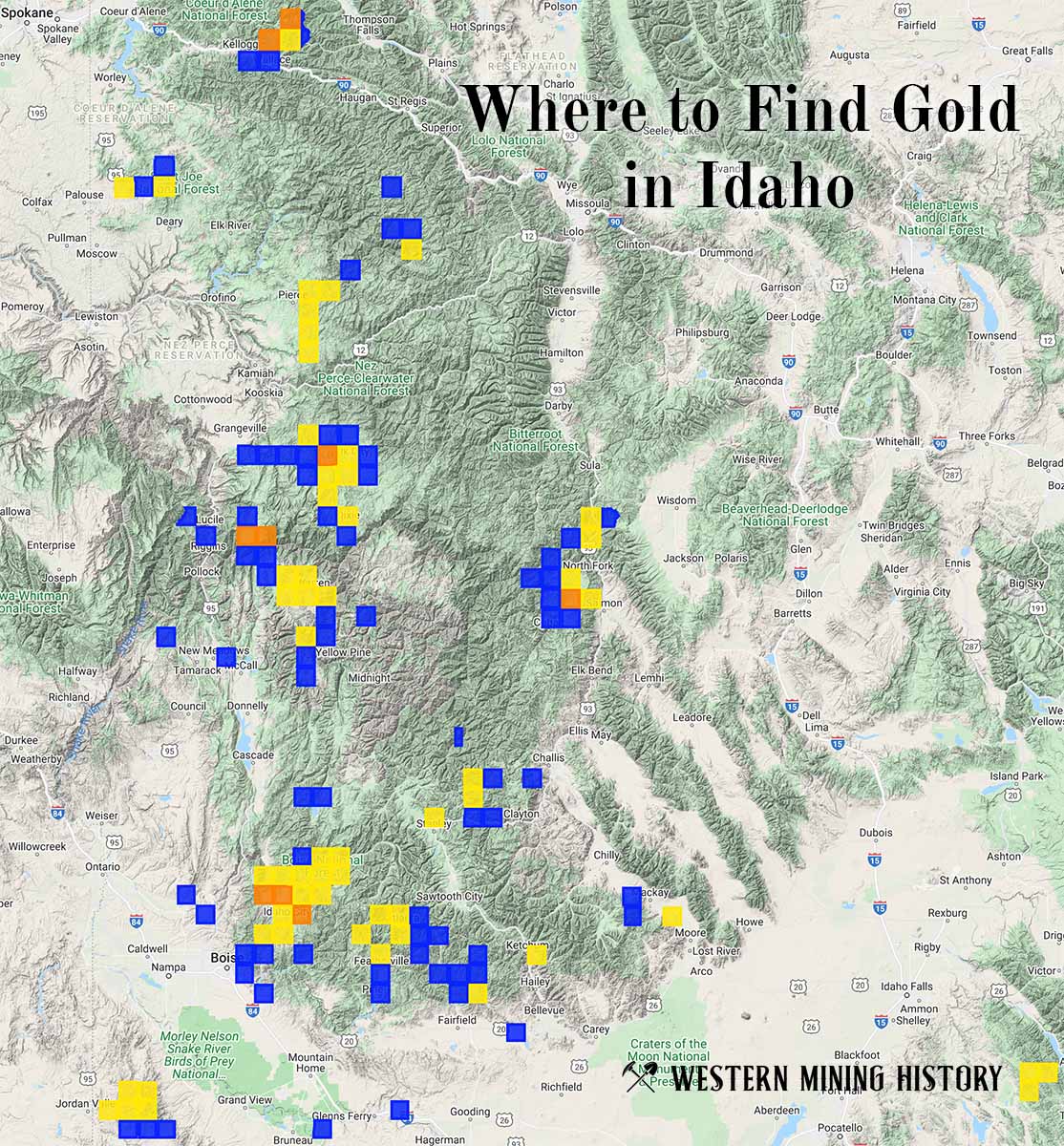
"Where to Find Gold in Idaho" looks at the density of modern placer mining claims along with historical gold mining locations and mining district descriptions to determine areas of high gold discovery potential in Idaho. Read more: Where to Find Gold in Idaho.