The Cougar is a gold mine located in Grant county, Oregon.
About the MRDS Data:
All mine locations were obtained from the USGS Mineral Resources Data System. The locations and other information in this database have not been verified for accuracy. It should be assumed that all mines are on private property.
Mine Info
Satelite View
MRDS mine locations are often very general, and in some cases are incorrect. Some mine remains have been covered or removed by modern industrial activity or by development of things like housing. The satellite view offers a quick glimpse as to whether the MRDS location corresponds to visible mine remains.
Cougar MRDS details
Site Name
Primary: Cougar
Secondary: Cougar - Independence Group
Commodity
Primary: Gold
Secondary: Silver
Tertiary: Arsenic
Location
State: Oregon
County: Grant
District: Granite
Land Status
Not available
Holdings
Not available
Workings
Not available
Ownership
Owner Name: Independence Mining Co.
Years: 1980 -
Owner Name: W. A. Bowes And Associates
Home Office: Steamboat Springs, Co.
Years: 1969 -
Production
Not available
Deposit
Record Type: Site
Operation Category: Producer
Deposit Type: Vein
Operation Type: Unknown
Years of Production:
Organization:
Significant: N
Physiography
General Physiographic Area: Intermontane Plateaus
Physiographic Province: Columbia Plateau
Physiographic Section: Blue Mountain Section
Mineral Deposit Model
Not available
Orebody
Form: TABULAR
Structure
Not available
Alterations
Not available
Rocks
Name: Diorite
Role: Associated
Age Type: Associated Rock
Age Young: Late Cretaceous
Name: Diorite
Role: Associated
Age Type: Associated Rock Unit
Age Young: Late Cretaceous
Name: Diorite
Role: Associated
Age Type: Host Rock Unit
Age Young: Early Triassic
Analytical Data
Analytical Data: SULFIDE CONCENTRATION RATIO 10:1. LITTLE FREE GOLD. RATIO OF GOLD TO SILVER ABOUT 1.7:1
Materials
Ore: Pyrite
Gangue: Quartz
Gangue: Dolomite
Comments
Comment (Deposit): 1600 FT DECLINE ON 12% GRADE IS NOW BEING DRIVEN UNDER THE OLD WORKINGS (1979). OPERATORS HAVE INSTALLED A CYANIDE HEAP LEACHING PAD.
Comment (Workings): 4 ADITS 270-FOOT SHAFT, 5000 FEET OF DRIFTS AND 2000 FEET OF RAISES. 1938 TO 1942-19, 126.24 OUNCES GOLD & 10,976.30 OUNCES SILVER FROM ROUGHLY 51,500 TONS ON ORE. SEVERAL MILLION $ & CREW OF A DOZEN MEN IS DEVELOPING A NEW SYSTEM OF--SEE GEN-COM
Comment (Deposit): SEVERAL MILLION DOLLARS ARE BEING SPENT TO REACTIVATE COUGAR MINE. CREW OF A DOZEN MEN IS DEVELOPING NEW SYSTEM OF TUNNELS AT LEAST 300 FT. BELOW DEPTH PREVIOUSLY EXPLORED. WILLIAM BOWES AND ASSOCIATES, STEAMBOAT SPRINGS, COLO. (CONSULTING GEOLOGISTS FOR GROUP OF EASTERN INVESTORS) ESTIMATE UP TO 200 TONS OF ORE PER DAY TO BE MINED STARTING SPRING 1979 . ANTICIPATED YIELD IS AVERAGE OF .3 OUNCE GOLD PER TON OF ORE. FROM "GOLD MINING OPERATION READIED" THE OREGONIAN, MAY 17 , 1978 .
Comment (Production): 1938 TO 1942-19, 126.24 OUNCES GOLD & 10,976.30 OUNCES SILVER FROM ROUGHLY 51,500 TONS ON ORE.
Comment (Geology): GEOL.DESC: FILLING IS LARGELY ARGILLITE BRECCIA, PARTLY REPLACED BY QUARTZ AND LOCALLY DOLOMITE. PREMINERAL DIKES ARE NUMEROUS, SOME BEING CUT BY THE VEIN.
References
Reference (Deposit): BROOKS, H.C., AND RAMP, L., 1968, GOLD AND SILVER IN OREGON, ODGMI BULL. 61, P. 79.
Reference (Deposit): OREGON METAL MINES HANDBOOK, 1941, ODGMI BULL. 14-B P. 47.
Reference (Deposit): YOUNG, J.S., 1979, PARAGENESIS AND GEOCHEMISTRY OF THE GRANITE GOLD DISTRICT, GRANT COUNTY, OREGON; COLORADO STATE UNIV. MS. THESIS
Oregon Gold

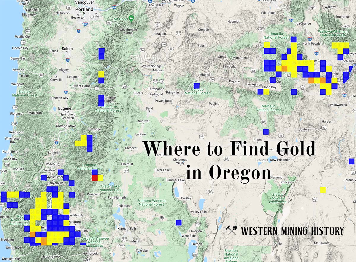
"Where to Find Gold in Oregon" looks at the density of modern placer mining claims along with historical gold mining locations and mining district descriptions to determine areas of high gold discovery potential in Oregon. Read more: Where to Find Gold in Oregon.