The Keep Cool Mine is a zinc, silver, and lead mine located in Bonner county, Idaho at an elevation of 3,999 feet.
About the MRDS Data:
All mine locations were obtained from the USGS Mineral Resources Data System. The locations and other information in this database have not been verified for accuracy. It should be assumed that all mines are on private property.
Mine Info
Elevation: 3,999 Feet (1,219 Meters)
Commodity: Zinc, Silver, Lead
Lat, Long: 47.9078, -116.44390
Map: View on Google Maps
Keep Cool Mine MRDS details
Site Name
Primary: Keep Cool Mine
Commodity
Primary: Zinc
Primary: Silver
Primary: Lead
Tertiary: Copper
Location
State: Idaho
County: Bonner
District: Lakeview District
Land Status
Land ownership: Private
Note: the land ownership field only identifies whether the area the mine is in is generally on public lands like Forest Service or BLM land, or if it is in an area that is generally private property. It does not definitively identify property status, nor does it indicate claim status or whether an area is open to prospecting. Always respect private property.
Holdings
Not available
Workings
Type: Underground
Ownership
Owner Name: Idaho Lakeview Mines Co.
Owner Name: Union Carbide
Production
Not available
Deposit
Record Type: Site
Operation Category: Producer
Operation Type: Unknown
Discovery Method: Unknown
Years of Production:
Organization:
Significant: N
Deposit Size: S
Physiography
General Physiographic Area: Rocky Mountain System
Physiographic Province: Northern Rocky Mountains
Physiographic Detail: Coeur D'Alene Mountains
Mineral Deposit Model
Not available
Orebody
Form: SOME RIBBON ORE
Form: SOME RIBBON ORE
Structure
Type: R
Description: Packsaddle Fault To The W; Cascade Fault To The E.
Type: L
Description: Breccia, Gouge
Alterations
Alteration Type: L
Alteration Text: Siliceous
Rocks
Name: Argillite
Role: Host
Age Type: Host Rock Unit
Age Young: Neoproterozoic
Name: Argillite
Role: Host
Age Type: Host Rock
Age Young: Neoproterozoic
Analytical Data
Analytical Data: ASSAYS FROM LEVELS 4 AND 5 AVERAGE 20 OZ / TON AG
Analytical Data: 3 - 4 % PB
Analytical Data: 6 - 7 % ZN
Materials
Ore: Boulangerite
Ore: Galena
Ore: Chalcopyrite
Ore: Sphalerite
Ore: Tetrahedrite
Gangue: Pyrite
Gangue: Siderite
Gangue: Calcite
Gangue: Quartz
Comments
Comment (Deposit): WALLACE STRIKES N TO NE, DIPS E. CHILCO SILVER MINES, INC. HAVE 72 UNPATENTED CLAIMS IN KOOTENAI AND BONNER COUNTIES AND THIS MAY INCLUDE THE KEEP COOL PROPERTY.
Comment (Location): ADJOINS WEBER PROPERTY ON THE W
Comment (Production): SHIPMENTS TO VALUE OF ABOUT $15,000
Comment (Development): 4 PATENTED CLAIMS
Comment (Deposit): SHOOTS RAKE W. CONJECTURE - KEEP COOL - SILVER LEAF VEIN IS 12000 FT LONG; 5 ADITS
References
Reference (Deposit): CALKINS, F. C., 1909 , A GEOLOGICAL RECONNAISSANCE OF NORTHERN IDAHO AND NORTHWESTERN MONTANA: U. S. GEOLOGICAL SURVEY BULL. 384 , 112 P.
Reference (Deposit): SAVAGE, C. N., 1967 , GEOLOGY AND MINERAL RESOURCES OF BONNER COUNTY: IDAHO BUREAU OF MINES AND GEOLOGY COUNTY REPORT, NO. 6 , 131 P.
Reference (Deposit): SAMPSON, E., 1928 , GEOLOGY AND SILVER ORE DEPOSITS OF THE PEND OREILLE DISTRICT, IDAHO: IDAHO BUREAU OF MINES AND GEOLOGY PAMPHLET 31 , 25 P.
Reference (Deposit): MAC DONALD, D. F., 1906 , ECONOMIC FEATURES OF NORTHERN IDAHO AND NORTHWESTERN MONTANA: U. S. GEOLOGICAL SURVEY BULL. 285 , P. 41 - 52
Reference (Deposit): 5) KUN, P., 1974 , GEOLOGY AND MINERAL RESOURCES OF THE LAKEVIEW MINING DISTRICT, IDAHO: IDAHO BUREAU OF MINES AND GEOLOGY PAMPHLET 156 , 47 P.
Reference (Deposit): 6) SPOKANE CHRONICLE, NOV. 5 , 1974
Reference (Deposit): 1906 OTHER D. F. MAC DONALD, BULL. 285
Reference (Deposit): 1909 RECON F. C. CALKINS, BULL. 384
Reference (Deposit): 1928 GEOLMAP IDAHO BUREAU OF MINES & GEOL. PAMPHLET 31
Reference (Deposit): 1967 DIREXPL SUNSHINE MINING CO.
Reference (Deposit): 1967 GEOLMAP IDAHO BUREAU OF MINES & GEOL. CO. REPT. 6
Reference (Deposit): 1974 GEOLMAP IDAHO BUREAU OF MINES & GEOL. PAMPHLET 156
Reference (Production): MAC DONALD, D. F., 1906 , USGS BULL. 285 , P. 41 - 52
Idaho Gold

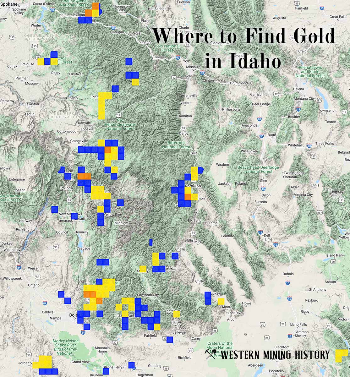
"Where to Find Gold in Idaho" looks at the density of modern placer mining claims along with historical gold mining locations and mining district descriptions to determine areas of high gold discovery potential in Idaho. Read more: Where to Find Gold in Idaho.