The Mackinaw Metals Mine is a copper mine located in Snohomish county, Washington at an elevation of 2,720 feet.
About the MRDS Data:
All mine locations were obtained from the USGS Mineral Resources Data System. The locations and other information in this database have not been verified for accuracy. It should be assumed that all mines are on private property.
Mine Info
Elevation: 2,720 Feet (829 Meters)
Commodity: Copper
Lat, Long: 47.9814, -121.44190
Map: View on Google Maps
Mackinaw Metals Mine MRDS details
Site Name
Primary: Mackinaw Metals Mine
Secondary: Mackinaw Group
Secondary: Osceolo Claim
Secondary: Lenox Claim
Secondary: Lorna Claim
Secondary: Banner Claim
Secondary: Banner Extension Claim
Secondary: Albion Claim
Secondary: Blue Bell Claim
Secondary: Mackinaw Claims 1 To 7
Secondary: Mackinau Metals
Secondary: Taft Copper Nickel Mine
Secondary: Weden Creek
Secondary: Donald Claim
Secondary: St Lawrence Claim
Commodity
Primary: Copper
Tertiary: Uranium
Tertiary: Silver
Tertiary: Nickel
Tertiary: Gold
Tertiary: Cobalt
Location
State: Washington
County: Snohomish
District: Monte Cristo District
Land Status
Land ownership: National Forest
Note: the land ownership field only identifies whether the area the mine is in is generally on public lands like Forest Service or BLM land, or if it is in an area that is generally private property. It does not definitively identify property status, nor does it indicate claim status or whether an area is open to prospecting. Always respect private property.
Holdings
Type: Private Lease
Workings
Not available
Ownership
Owner Name: Mackinaw Mining And Milling Co.
Years: 1910 -
Owner Name: E. C. Baker, Garrett Cleary, M. T. Commins
Years: 1900 -
Owner Name: R. D. Taft (Utility Mining Co.)
Home Office: Washington
Info Year: 1943
Years: 1941 - 1947
Owner Name: Mackinaw Metals Co.
Home Office: Washington
Info Year: 1943
Years: 1945 - 1954
Production
Not available
Deposit
Record Type: Site
Operation Category: Past Producer
Operation Type: Underground
Mining Method: Unknown
Years of Production:
Organization:
Significant: N
Physiography
General Physiographic Area: Pacific Mountain System
Physiographic Province: Cascade-Sierra Mountains
Physiographic Section: Northern Cascade Mountains
Mineral Deposit Model
Not available
Orebody
Not available
Structure
Not available
Alterations
Not available
Rocks
Not available
Analytical Data
Not available
Materials
Unknown: Chloanthite
Unknown: Pentlandite
Unknown: Pyrite
Unknown: Pyrrhotite
Unknown: Quartz
Unknown: Calcite
Unknown: Chalcopyrite
Unknown: Chrysocolla
Unknown: Erythrite
Unknown: Garnierite
Unknown: Malachite
Comments
Comment (Deposit): THE DEPOSITS WERE DEVELOPED FROM 1900 TO 1910 IN A SEARCH FOR GOLD ORE. ONLY A FEW TONS OF ORE WAS EVER SHIPPED TO THE SHELTER. THE ORE DEPOSITS ARE IN A PERIDOTITE DIKE OR INTRUSIVE THAT IS INTERSPERSED WITH SMALL BLEBS AND SEAMS OF SERPENTINE, ACTINOLITE AND TREMOLITE. AT SEVERAL PLACES IN THE MASS SMALL DEPOSITS OF NICKEL AND COPPER SULFIDES OCCUR. THE PERIDOTITE IN WHICH THE PRINCIPAL ORE DEPOSITS OCCUR IS A DENSE, DARK COLORED, FINE GRAINED ROCK THAT HAS BEEN PARTLY SERPENTINIZED. THE PRINCIPAL ORE DEPOSITS OCCUR ALONG A SHEAR ZONE THAT STRIKES N32 DEGREES W AND DIPS NEARLY VERTICAL. COBALT ASSAYS ABOUT 0.05 PERCENT
Comment (Workings): SENSITIVITY TO DEVELOPMENT DEPENDS ON THE LOCATION OF THE MILL SITE.
Comment (Geology): MOST OF THE NICKEL IN THE ORE IS COMBINED WITH ARSENIC IN THE FORM OF UNIDENTIFIED ARSENIDES.
Comment (Names): THE MACKINAW GROUP CONSISTS OF 16 CLAIMS
Comment (Reserve-Resource): GRADE ESTIMATED FROM METALLURGICAL SAMPLE.
References
Reference (Deposit): MINE MAP REPOSITORY (MICROFILM).
Reference (Deposit): USBM, WFOC, MINERAL PROPERTY FILE 0530610008.
Reference (Deposit): WA STATE BULL 37, PART 2, VOL 1, METALLIC MINERALS, P. 87.
Reference (Reserve-Resource): WAR MINERALS REPORT 156, 1944.
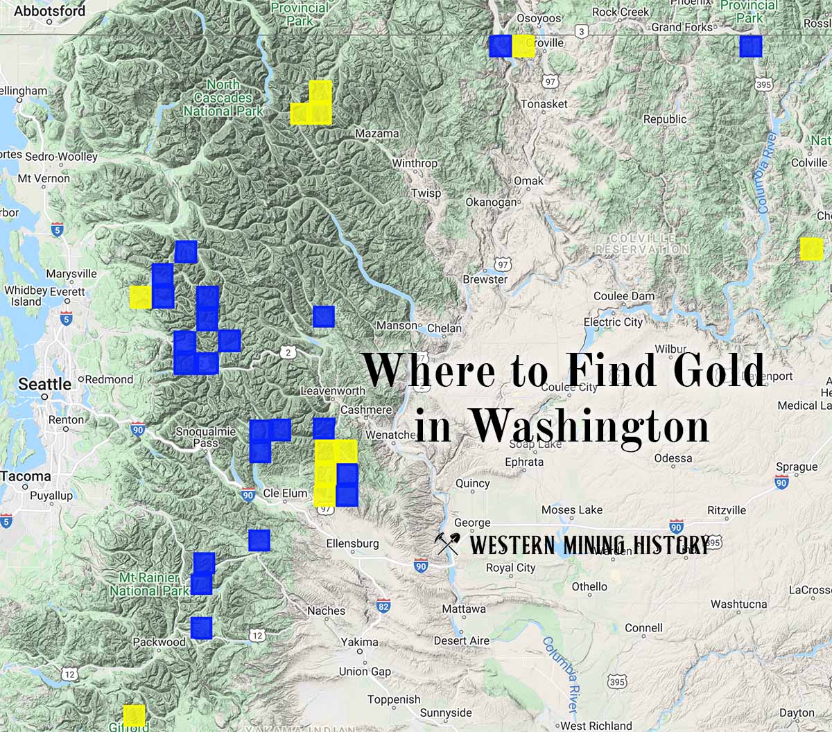
Washington Gold

"Where to Find Gold in Washington" looks at the density of modern placer mining claims along with historical gold mining locations and mining district descriptions to determine areas of high gold discovery potential in Arizona. Read more: Where to Find Gold in Washington.