The Silver Star Project is a copper mine located in Skamania county, Washington at an elevation of 2,198 feet.
About the MRDS Data:
All mine locations were obtained from the USGS Mineral Resources Data System. The locations and other information in this database have not been verified for accuracy. It should be assumed that all mines are on private property.
Mine Info
Elevation: 2,198 Feet (670 Meters)
Commodity: Copper
Lat, Long: 45.7575, -122.20556
Map: View on Google Maps
Silver Star Project MRDS details
Site Name
Primary: Silver Star Project
Commodity
Primary: Copper
Tertiary: Silver
Tertiary: Molybdenum
Location
State: Washington
County: Skamania
Land Status
Not available
Holdings
Not available
Workings
Not available
Ownership
Owner Name: Plexus Resources, Inc.
Percent: 100.0
Home Office: Utah
Info Year: 1993
Production
Not available
Deposit
Record Type: Site
Operation Category: Occurrence
Operation Type: Surface
Mining Method: Unknown
Years of Production:
Organization:
Significant: N
Physiography
General Physiographic Area: Pacific Mountain System
Physiographic Province: Cascade-Sierra Mountains
Physiographic Section: Middle Cascade Mountains
Mineral Deposit Model
Not available
Orebody
Not available
Structure
Not available
Alterations
Not available
Rocks
Not available
Analytical Data
Not available
Materials
Not available
Comments
Comment (Identification): Possible duplicate record 10048031 has the same site name but the commodities, PLSS coordinates and owners, differ by enough to justify keeping both records.
Comment (Location): PROJECT AREA INCLUDES SECS. 3, 4, 5, 8, AND 9.
Comment (Location): Silver Star Project former MAS record, commods Cu,Mo,Ag. Original NAD27 lat/long coords N-46-45-27 W-122-12-20 (46.7575 -122.2056) fall in northern Lewis county, far from the reported county, Skamania. Mindat.org reports a Silver Star Prospect in Clark county (Cu,Au,Ag,Pb,Zn,Ni). No lat/long given but described as on the western slope of Silver Star Mountain, which lies on the Skamania/Clark county boundary. This matches the description of a potential duplicate MRDS record, Silver Star Prospect, 10048031, 45.73028, -122.28417 in Clark county. The two records PLSS coordinates differ by one section. However, the commodities, owners, and locations are different enough to justify keeping both records. Topo maps place Silver Star Mountain at 45.747761, -122.255516, a difference of 1.01 lat and 0.05 long from this record. The evidence indicates the reporter mistyped the latitude. So the lat was decreased by 1 deg from 46 to 45, and the UTM was cleared. There is a third Silver Star in WA, 10131813 in King county, but appears to be unrelated and legitimate.
References
Reference (Deposit): RANDOL GUIDE 1993/1994, P. 343.
Washington Gold

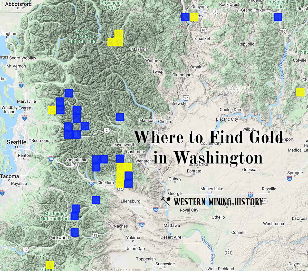
"Where to Find Gold in Washington" looks at the density of modern placer mining claims along with historical gold mining locations and mining district descriptions to determine areas of high gold discovery potential in Arizona. Read more: Where to Find Gold in Washington.