The Copper Camp is a copper mine located in Valley county, Idaho at an elevation of 5,577 feet.
About the MRDS Data:
All mine locations were obtained from the USGS Mineral Resources Data System. The locations and other information in this database have not been verified for accuracy. It should be assumed that all mines are on private property.
Mine Info
Elevation: 5,577 Feet (1,700 Meters)
Commodity: Copper
Lat, Long: 45.1758, -115.20080
Map: View on Google Maps
Copper Camp MRDS details
Site Name
Primary: Copper Camp
Commodity
Primary: Copper
Tertiary: Gold
Tertiary: Iron
Tertiary: Silver
Location
State: Idaho
County: Valley
District: Ramey Ridge District
Land Status
Land ownership: National Primitive Area
Note: the land ownership field only identifies whether the area the mine is in is generally on public lands like Forest Service or BLM land, or if it is in an area that is generally private property. It does not definitively identify property status, nor does it indicate claim status or whether an area is open to prospecting. Always respect private property.
Holdings
Type: Located Claim
Workings
Not available
Ownership
Owner Name: Rocket Mines, Ltd. Or Atled Exploration, Ltd.
Home Office: Canada
Info Year: 1977
Owner Name: Copper Camp Consolidated Mines, Inc.
Percent: 100.0
Home Office: Idaho
Info Year: 1977
Production
Not available
Deposit
Record Type: Site
Operation Category: Prospect
Operation Type: Underground
Mining Method: Unknown
Discovery Year: 1888
Years of Production:
Organization:
Significant: N
Deposit Size: S
Physiography
General Physiographic Area: Rocky Mountain System
Physiographic Province: Northern Rocky Mountains
Mineral Deposit Model
Not available
Orebody
Not available
Structure
Not available
Alterations
Not available
Rocks
Not available
Analytical Data
Not available
Materials
Unknown: Chalcopyrite
Unknown: Hematite
Unknown: Magnetite
Unknown: Malachite
Unknown: Pyrite
Comments
Comment (Deposit): ALSO SECTION 15. SURFACE OF MINERALIZED VEINS AND SHEAR ZONES ARE COMPOSED OF QUARTZ,MAGNETITE, AND FERROMAGNESIUM SILICATES. MALACHITE OCCURS INTERSTITIALLY AS FRACTURE FILLINGS AND COATINGS ON OTHER MINERAL GRAINS. SAMPLES OF THE VEINS ASSAYED A TRACE TO 4.1 GRAMS GOLD, TR-27.4 GRAMS SILVER PER TONNE, 0.03-17.0 PERCENT COPPER, AND 2.9 TO MORE THAN 60 PERCENT IRON. TITANIUM CONTENT OF THE MAGNETITE RANGED FROM 0.02-.028% AND AVERAGED 0.11%. THE MINE IS BORKEN UP ACCORDING TO VEIN EXPOSURES. SUCH VEINS REPORTED ASSAYS AND POSS. RESERVES AS FOLLOWS: THE THREE TIBOR VEINS HAVE A POSS. RESOURCE OF 2.5 MILLION TONS OF MINERALIZED MATERIAL THAT CAN BE INFERRED IF THE MAGNETITE VEINS ARE CONTINUOUS WITH THE 3 VEINS EXPOSED NEAR CAMP CREEK. THE BLACK BEAR VEIN SAMPLES AVE. 1.5% COPPER, 24% IRON, .34 GRAMS GOLD AND 6.2 GRAMS SILVER PER TONNE. COPPER OCCURS AS A SULFIDE AND A CARBONATE. THE GREEN VEIN ADIT ASSAYED FROM 5.6 TO 17.0% COPPER. SPRING CREEK VEIN AVE 1.0 GRAMS GOLD, 4.8 GRAMS SILVER PER TONNE, 0.9% COPPER, AND 28% IRON. SALE LICK VEIN AVERAGED 2.4 GRAMS GOLD AND SILVER PER TONNE, 0.92% COPPER, AND 35.5% IRON. THE OLD LADIES VEIN AVE 1.4 GRAMS GOLD, 4.1 GRAMS SILVER, 2.26% COPPER, AND 55% IRON. UPPER AND LOWER COPPER CREEK AVE 6.2 GRAMS SILVER PER TONNE, 1.39% COPPER, 55.42 IRON, AND A TR GOLD.
Comment (Reserve-Resource): RESERVES ARE INDICATED BY DIAMOND DRILLING INTO THE VEIN SYSTEM. DRILLING SHOWS HIGHER GRADE COPPER RESOURCES AND MORE EXTENSIVE VEIN SYSTEM THAT AT SURFACE. ESTIMATED POTEN- TIAL RESOURCES OF 2.2 MILLION TONNES MAGNETITE (1.6 MILLION TONNES IRON) MAY BE AVAILABLE AS POSS. BYPRODUCT. IF THE VEINS EXTEND AS INFERRED AND GRADE INCREASES WITH DEPTH AS INDICATED BY DIAMOND DRILLING, THE PROPERTY WOULD BE ECONOMICALLY MINABLE.
References
Reference (Deposit): USBM INF CIRC 7039, FIG. 23.
Reference (Deposit): ROCKET MINES, LTD 1969 PROSPECTUS FOR STOCK SALE.
Reference (Deposit): LEONARD & JAMES 1970 USGS LOG OF ROCKET MINES DDH 1 COPPER
Reference (Deposit): CAMP DEPOSIT.
Reference (Deposit): LEONARD & DALE 1971 USGS LOGS, ROCKET MINES DDH 2,3,4,5,10 &
Reference (Deposit): 11.
Reference (Deposit): PRIMITIVE AREA STUDY.
Reference (Deposit): IDAHO BUREAU OF MINES & GEOLOGY PAMPHLET 44, P. 33.
Reference (Deposit): WFOC MINERAL PROPERTY FILE NO. 0160850069.
Reference (Deposit): H. SHANK 1977 PHONE COMM. USFS, MCCALL, IDAHO, PAYETTE NTL
Reference (Deposit): FOREST.
Reference (Deposit): CATER AND OTHERS, 1973, USGS BULL 1304, P. 145-155, IDAHO
Idaho Gold

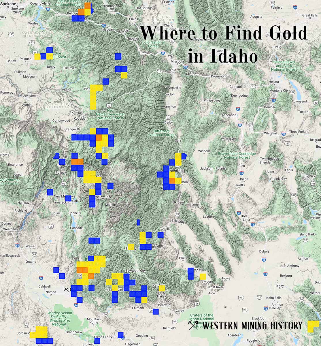
"Where to Find Gold in Idaho" looks at the density of modern placer mining claims along with historical gold mining locations and mining district descriptions to determine areas of high gold discovery potential in Idaho. Read more: Where to Find Gold in Idaho.