The Metaline District is a lead, copper, silver, and zinc mine located in Pend Oreille county, Washington.
About the MRDS Data:
All mine locations were obtained from the USGS Mineral Resources Data System. The locations and other information in this database have not been verified for accuracy. It should be assumed that all mines are on private property.
Mine Info
Elevation:
Commodity: Lead, Copper, Silver, Zinc
Lat, Long: 48.9, -117.35000
Map: View on Google Maps
Metaline District MRDS details
Site Name
Primary: Metaline District
Commodity
Primary: Lead
Primary: Copper
Primary: Silver
Primary: Zinc
Location
State: Washington
County: Pend Oreille
District: METALINE DISTRICT
Land Status
Not available
Holdings
Not available
Workings
Not available
Ownership
Not available
Production
Not available
Deposit
Record Type: District
Operation Category: Producer
Deposit Type: MVT
Operation Type: Surface-Underground
Discovery Year: 1906
Years of Production:
Organization:
Significant: Y
Physiography
Not available
Mineral Deposit Model
Model Name: Mississippi Valley, minor
Orebody
Not available
Structure
Not available
Alterations
Not available
Rocks
Not available
Analytical Data
Not available
Materials
Not available
Comments
Comment (Reserve-Resource): The Metaline Contact Mines company website attributes the following to the Metaline district: Production: 17.5 million tons ore at 2.52% Zn, 1.14% Pb from the Metaline formation. Reserves at Pend-Oreille: 5,727,000 tonnes 7.7% Zn, 1.4% Pb Inferred resources at Washington Rock, 1 mi S of Pend-Oreille: no amount stated, 7.0% Zn, 1.4% Pb
Comment (Location): The Metaline Contact Mines company website outlines their properties along the Pend-Oreille river, covering an area about 13 miles long and up to 3 miles wide, mostly on the west side of the river. The properties extend about 10 miles north of Metaline Falls to the Canadian border, and 3 miles south.
Comment (Location): The original Metaline district boundary, as recorded in the office of the county clerk of Stevens County, covers 11 townships, an area of approximately 400 sq miles, (~18 x 24 miles) in the NE corner of Washington. (Bancroft, 1910)
References
Reference (Deposit): Bancroft, Howland, 1910, Lead and zinc deposits in the Metaline mining district, northeastern Washington: USGS Bulletin 470.
Reference (Deposit): MCKNIGHT, E.T., NEWMAN, W.L., AND HEYL, A.V., JR. (COMPILERS), 1962, ZINC IN THE UNITED STATES, EXCLUSIVE OF ALASKA AND HAWAII: USGS MINERAL INV. RESOURCE MAP MR-19, SEPARATE TEXT, 18 P.
Reference (Geology): Leach, D. L., Sangster, D. F., Kelley, K., Large, R. R., Garven, G., Allen, C. R., Gutzmer, J., and Walters, S., 2005, Sediment-Hosted Lead-Zinc Deposits: A Global Perspective. Economic Geology 100th Anniversary Volume, p. 561-607.
Reference (Deposit): GUILD, PHILIP W., 1981, PRELIMINARY METALLOGENIC MAP OF NORTH AMERICA: A NUMERICAL LISTING OF DEPOSITS: U.S. GEOLOGICAL SURVEY CIRCULAR 858-A, 93 P
Reference (Deposit): PARK, C.F., JR., AND CANNON, R.S., JR., 1943, GEOLOGY AND ORE DEPOSITS OF THE METALINE QUADRANGLE, WASHINGTON: USGS PROF. PAPER 202.
Washington Gold

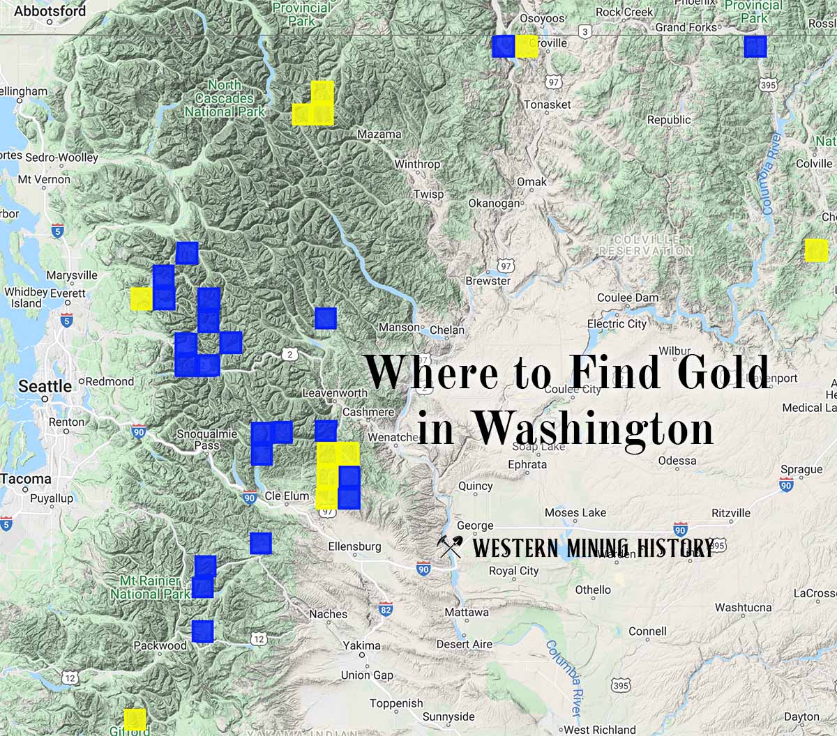
"Where to Find Gold in Washington" looks at the density of modern placer mining claims along with historical gold mining locations and mining district descriptions to determine areas of high gold discovery potential in Arizona. Read more: Where to Find Gold in Washington.