The Bonanza Mine is a mercury mine located in Douglas county, Oregon at an elevation of 1,201 feet.
About the MRDS Data:
All mine locations were obtained from the USGS Mineral Resources Data System. The locations and other information in this database have not been verified for accuracy. It should be assumed that all mines are on private property.
Mine Info
Elevation: 1,201 Feet (366 Meters)
Commodity: Mercury
Lat, Long: 43.39401, -123.18451
Map: View on Google Maps
Satelite View
MRDS mine locations are often very general, and in some cases are incorrect. Some mine remains have been covered or removed by modern industrial activity or by development of things like housing. The satellite view offers a quick glimpse as to whether the MRDS location corresponds to visible mine remains.
Bonanza Mine MRDS details
Site Name
Primary: Bonanza Mine
Secondary: Bonanza
Commodity
Primary: Mercury
Location
State: Oregon
County: Douglas
District: Bonanza Area
Land Status
Land ownership: Private
Note: the land ownership field only identifies whether the area the mine is in is generally on public lands like Forest Service or BLM land, or if it is in an area that is generally private property. It does not definitively identify property status, nor does it indicate claim status or whether an area is open to prospecting. Always respect private property.
Holdings
Not available
Workings
Type: Unknown
Ownership
Owner Name: Clifford Bryden
Info Year: 1978
Owner Name: Bonanza Oil And Mines Corp.
Production
Year: 1963
Time Period: To 1963
Material type: HG
Description: Cp_Grade: ^7 - 8 Lb/Ton
Deposit
Record Type: Site
Operation Category: Past Producer
Operation Type: Unknown
Year First Production: 1937
Year Last Production: 1960
Discovery Year: 1868
Discovery Method: Ore-Mineral In Place
Years of Production:
Organization:
Significant: N
Deposit Size: M
Physiography
General Physiographic Area: Pacific Mountain System
Physiographic Province: Pacific Border Province
Physiographic Section: Oregon Coast Range
Mineral Deposit Model
Not available
Orebody
Form: IRREGULAR LENSES
Structure
Type: R
Description: Ore Zone Is On The East Flank Of A Broad Anticline Striking N 25 E And Dipping 45 Se
Type: L
Description: Sandstone-Shale Contact
Alterations
Alteration Type: L
Alteration Text: Silica, Carbonate And Clay Alteration And Impregnation Of Host Rocks
Rocks
Name: Siltstone
Role: Host
Age Type: Host Rock
Age Young: Eocene
Analytical Data
Not available
Materials
Ore: Cinnabar
Ore: Metacinnabar
Ore: Mercury
Gangue: Quartz
Gangue: Calcite
Gangue: Siderite
Gangue: Pyrite
Gangue: Marcasite
Gangue: Chalcedony
Comments
Comment (Deposit): RECORD ( W017070 ) MERGED WITH THIS RECORD AND DELETED FROM OREGON FILE.
Comment (Workings): WORKINGS EXTEND FROM SURFACE TO INCLINED DEPTH OF 1600 FT. LEVELS ARE SPACEDFROM 70 TO 130 FT APART. POTENTIAL RESOURCES ARE MAINLY IN DEEPER LEVELS OF MINE.
Comment (Deposit): ORE LENSES RANGED FROM 3 TO 60 FT IN MAX. THICKNESS
Comment (Deposit): Discovery Year: 1865 - 187
Comment (Development): EXPLORATION UNDER DMEA LOAN CONTRACT IN 1953-1958
Comment (Location): SW/4 SEC 16
Comment (Production): POTENTIAL RESOURCES ARE MAINLY IN DEEPER LEVELS OF MINE
Comment (Reserve-Resource): H. C. BROOKS, ODGMI, FILES
Comment (Geology): GEOL.DESC: UMPQUA FM SEDS, TUFFS, BASALTS DIP SE.
Comment (Deposit): From deleted record 10200996: Orebody Information: Length: 812 M Width: 442 M Depth to Top: 160 M Thickness: 1.5 M Strike: N35E Dip: 45S MAS Matrix # : 1 MAS Column # : 1 Type of Orebody #1 : SHEAR ZONE Shape of Orebody #1 : TABULAR Type of Orebody #2 : BRECCIA FILL Type of Orebody #3 : REPLACEMENT Primary mode of Origin : HYDROTHERMAL Primary Ore Control : FAULTING Secondary Ore Control : CONTACT ZONE Degree of Wallrock Alter. : SLIGHT Type of Wallrock Alter. #1 : ADV ARGILLIC Type of Wallrock Alter. #2 : SILICIFICATION Type of Wallrock Alter. #3 : CARBONITIZATION Strike And Dip : N35E:45S Minimum Depth to Top : 0 Avg. Thick. Unconsol. Mat. : 0 Min. Thick. Unconsol. Mat. : 0 Date of Last Modification : 830316 Area: 20 HA Total Surface Area (HA) : 20 Date of Last Modification : 910418
References
Reference (Deposit): BAILEY, E. H., USGS, PERSONAL FILES.
Reference (Deposit): BROOKS, H. C., 1963 , QUICKSILVER IN OREGON: ODGMI, BULL. 55 , 223 P.
Reference (Deposit): SCHUTTE, C. N., 1938, QUICKSILVER IN OREGON: ODGMI BULL. 4, P. 130-137
Reference (Production): BROOKS
Reference (Deposit): U.S. GEOLOGICAL SURVEY BULLETIN 850, 1934, P. 40-41.
Reference (Deposit): BROWN, R. E. AND WATERS, A. C., 1951 , QUICKSILVER DEPOSITS OF THE BONANZA - NONPAREIL DISTRICT, DOUGLAS COUNTY, OREGON: USGS BULL. 955 - F.
Oregon Gold

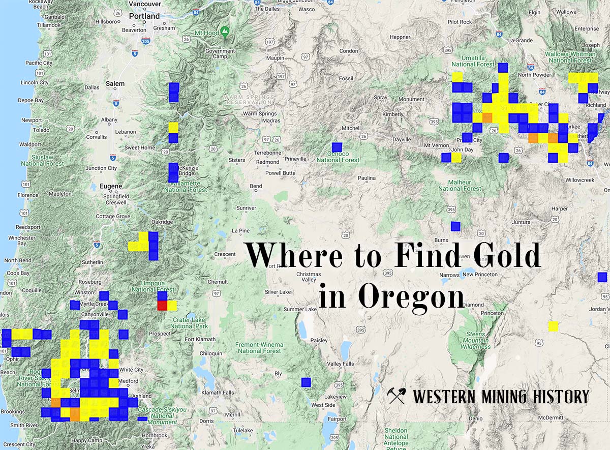
"Where to Find Gold in Oregon" looks at the density of modern placer mining claims along with historical gold mining locations and mining district descriptions to determine areas of high gold discovery potential in Oregon. Read more: Where to Find Gold in Oregon.