This page describes the Mining Claim Research Tools that are available at a county level with the Mine Discovery Tools packages.
Mining claim data distributed by the BLM (Bureau of Land Management) is located by PLSS section. This method of location does not work with mapping tools like Google Earth or GIS applications.
WMH has resolved this issue by merging the BLM claims data with PLSS section center coordinates. The result is data that can be mapped and visualized with a variety of tools to either do claims research, or to analyze claim data visually to determine density or other trends.
The claims data included in this package are custom indexes created from MLRS (formerly LR2000) data distributed by the BLM. The claims data has been merged with coordinate data for PLSS section center points so that claim locations can be displayed by location in Google Earth Pro or GIS applications.
These packages contain the following files:
- Reference Claims for GEP (Google Earth Pro) – these are active claim locations preformatted for use in Google Earth Pro, and is in the combined placer and lode claim format.
- PLSS Center sections by state and county. These files can be opened in GEP or GIS applications and contain center points for every surveyed PLSS section center in the western states (only five South Dakota counties are included – covering the black hills mining area). Info windows contain the section MTRS value in the same format used by the BLM MLRS, significantly speeding up claims research.
The reference claims are intended to be a snapshot in time and are not updated regularly. The current reference data was obtained from the BLM in November of 2020.
It doesn’t matter if the third party reference data, from WMH or another source, is one month old or a year old, you still have to verify it with the MLRS.
WMH claims research data tools are designed to make the claims research process as easy as possible.
Reference Claim Data
The claim markers in the reference claim files only show in PLSS sections that contain active claims at the time the data was obtained from the BLM.
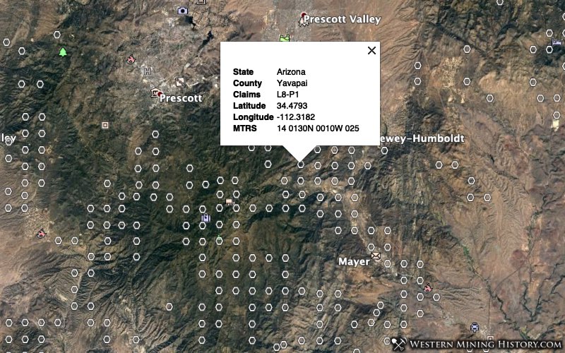
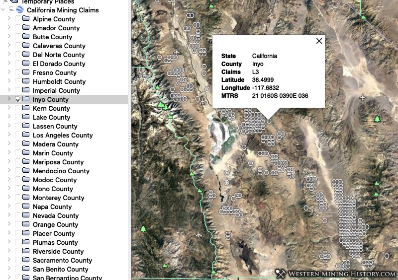
The image above shows what the reference claims data looks like when opened in Google Earth. Claims are organized by state and within each state file counties are organized into separate folders.
The claims values in the are formatted like “L5”, “P2”, or from the example in the above image “L8-P1”, representing the number of claims in that PLSS section. These values are interpreted as the following:
L2 – a section has 2 lode claims
P11 – a section has 11 placer claims
L2-P11 – a section has both 2 lode and 11 placer claims
In all files, claim numbers with an asterisk next to them indicate that the section is irregular or unsurveyed. Examples are 4*, L2* or L6-P3*.
WMH has manually located most of the irregular sections that had active claims at the time the reference data was obtained. While they are in most cases as accurate as the standard sections, extra care should be done in doing claims research in these areas.
Claims Research With the BLM LR2000
The MTRS values in this data are formatted the same way that the BLM’s LR2000 uses in its search forms. MTRS values can be copied directly into the LR2000, considerably speeding up claims research.
Click here to view the Claims Research Guide more information
The WMH Claims Research Tools provide a relatively quick and easy way to search for active or closed claims by geographic area. See the document linked above for further details.
PLSS Section Center Files
The “PLSS Section Centers” directory that comes with the Claims Research Tools contains county-level KMZ files that contain the center points for all surveyed PLSS sections. These files differ from the claims reference files described above in that they contain all surveyed PLSS sections, while the claim research tools only contain sections that had active placer claims at the time the data was obtained from the BLM.
Note: these files contain a lot of data and should be opened one at a time.
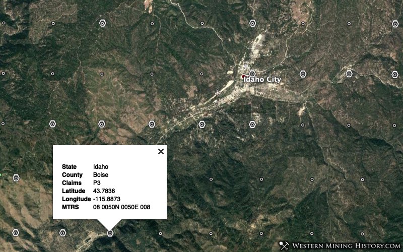
The following image illustrates what GEP looks like with both the reference claims (hexagonal markers) and plss centers (round markers) open.
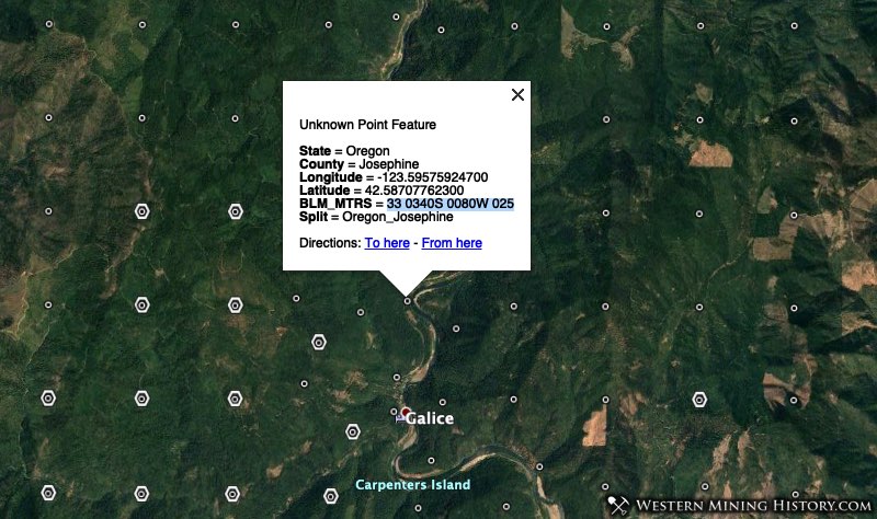
Using the image above as an example, let’s take a look at mining claims in Josephine County, Oregon. Section 33 0340S 0080W 025 has no active claims according to the reference claims file. By searching the MLRS with the MTRS value for that section, we find that there are numerous closed claims, both lode and placer, which could be an indication that the area is worth prospecting. These MTRS values are also valuable in checking a section for active claims that may have been filed after the reference claim data was obtained.
There are thousands of PLSS sections that currently have no claims, but were previously placer mining areas. These tools allow you to do quick and extensive research on claims using the BLM MLRS.