The Shamrock is a copper and nickel mine located in Jackson county, Oregon at an elevation of 1,801 feet.
About the MRDS Data:
All mine locations were obtained from the USGS Mineral Resources Data System. The locations and other information in this database have not been verified for accuracy. It should be assumed that all mines are on private property.
Mine Info
Elevation: 1,801 Feet (549 Meters)
Commodity: Copper, Nickel
Lat, Long: 42.60139, -122.97583
Map: View on Google Maps
Shamrock MRDS details
Site Name
Primary: Shamrock
Secondary: Chisholm Copper
Commodity
Primary: Copper
Primary: Nickel
Tertiary: Cobalt
Tertiary: Platinum
Location
State: Oregon
County: Jackson
Land Status
Land ownership: Private
Note: the land ownership field only identifies whether the area the mine is in is generally on public lands like Forest Service or BLM land, or if it is in an area that is generally private property. It does not definitively identify property status, nor does it indicate claim status or whether an area is open to prospecting. Always respect private property.
Holdings
Not available
Workings
Type: Surface/Underground
Ownership
Owner Name: Freeport And Boise Cascade
Years: 1988 -
Production
Not available
Deposit
Record Type: Site
Operation Category: Occurrence
Operation Type: Unknown
Discovery Year: 1900
Years of Production:
Organization:
Significant: N
Deposit Size: S
Physiography
General Physiographic Area: Pacific Mountain System
Physiographic Province: Pacific Border Province
Physiographic Section: Klamath Mountains
Mineral Deposit Model
Model Name: Synorogenic-synvolcanic Ni-Cu
Orebody
Form: DISSEMINATED, BLEBS, VEINLETS, MASSES
Structure
Not available
Alterations
Alteration Type: L
Alteration Text: Sericite, Leaching On Intermediate Level, Serpentinite
Rocks
Not available
Analytical Data
Analytical Data: APPROX. AVERAGE GRADE REPORTED FROM A 10-KG USBM SAMPLE OF REPRESENTATIVE ORE CONTAINS 1.3% NI, 1.1% CU, 0.07% CO, AND 0.03 OZ/TON PT. USBM SAMPLE (SHELTON) GAVE 2.2% NI, 0.78% CU, 0.01% CO. 660 PPB PD, 23 PPB PT, 48 PPB RH IN SULFIDE-RICH SAMPLE. SAMPLE OF CLAY GOUGE YIELDED 310 PPB AU, 616 PPB AG, 6.81 PPM BI, 240 PPM CO, 2000 PPM CR, 6524 PPM CU, 9.45 PPM MO, 4760 PPM NI, 9.5 PPM SE, 1.7 PPM TE, 370 PPM ZN (WILEY AND HLADKY, 1991)
Materials
Ore: Chalcopyrite
Ore: Pentlandite
Gangue: Graphite
Gangue: Calcite
Gangue: Zoisite
Comments
Comment (Deposit): TWO ORE BODIES; MINE ORE BODY (DATA ABOVE) AND SURFACE ORE BODY (200 X 200 X 38 FT). ORE BODY TERMINATED AT EITHER END BY FAULTS
Comment (Workings): FOUR ADITS; DIAMOND DRILLING IN 11 DRILL HOLES. ALSO INCLINED SHAFT AND TRENCHES
Comment (Geology): ULTRAMAFIC SILLS IN SCHISTOSE ALTERED GREENSTONE CONTAINS ORE, AS DISSEMINATIONS, SMALL VEINLETS, AND SOLID MASSES. ORE ZONE BADLY CUT UP BY THRUST FAULTS. OTHER ROCKS PRESENT IN AREA INCLUDE SERPENTINIZED PERIDOTITE, HORNBLENDE-QUARTZ DIORITE, GRANODIORITE, AND PEGMATITE. TWO GENERATIONS OF SULFIDES HAVE BEEN IDENTIFIED.
Comment (Location): ON STEEP HILL ABOVE EAST SIDE OF EVANS CREEK. LOCATION GIVEN IS PROSPECT SYMBOL SHOWN ON TOPO MAP
Comment (Reserve-Resource): RESERVES UNKNOWN
Comment (Development): EXPLORATION PROGRAM IN 1988
Comment (Commodity): CHALCOPYRITE AND PENTLANDITE ARE INTIMATELY ASSOCIATED IN MINUTE VEINLETS THEREBY CREATING PROBLEMS IN SEPARATING CU FROM NI. USBM STUDIES CONCLUDE THAT BULK SAMPLE OF FLOTATION WOULD WORK AS FIRST STEP; ORE NEVER MINED. COBALT MINERAL WAS NOT IDENTIFIED
References
Reference (Deposit): HUNDHAUSEN, R.J., 1952, INVESTIGATION OF SHAMROCK COPPER-NICKEL MINE, JACKSON COUNTY, OREGON: U.S. BUREAU OF MINES REPORT OF INVESTIGATIONS 4895, P. 1-8.
Reference (Deposit): SHELTON, J.E., 1956, BENEFICIATION STUDIES OF NICKELIFEROUS ORES FROM THE SHAMROCK MINE, JACKSON COUNTY, OREG., AND THE CONGRESS MINE, FERRY COUNTY, WASH.: U.S. BUREAU OF MINES REPORT OF INVESTIGATIONS 5261, P. 6-8.
Reference (Deposit): RAMP, LEN, 1978, INVESTIGATIONS OF NICKEL IN OREGON: OREGON DEPARTMENT OF GEOLOGY AND MINERAL INDUSTRIES MISCELLANEOUS PAPER NO. 20, P. 7, 57-58.
Reference (Deposit): ASHLEY, R.P., AND PETERSON, J.A., 1991, U.S. GEOLOGICAL SURVEY, FIELD EXAM.
Reference (Deposit): FERNS, M.L., 1989, MINING ACTIVITY AND EXPLORATION IN OREGON, 1988: OREGON GEOLOGY, V. 51, NO. 2, P. 29.
Reference (Deposit): WILEY, T.J., AND HLADKY, F.R., 1991, GEOLOGY AND MINERAL RESOURCES MAP OF THE BOSWELL MOUNTAIN QUADRANGLE, JACKSON COUNTY, OREGON: OREGON DEPARTMENT OF GEOLOGY AND MINERAL INDUSTRIES GEOLOGICAL MAP SERIES GMS-70, SCALE 1:24,000.
Reference (Deposit): 1949 DIREXPL HUNDHAUSEN, USB
Oregon Gold

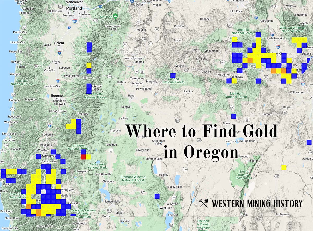
"Where to Find Gold in Oregon" looks at the density of modern placer mining claims along with historical gold mining locations and mining district descriptions to determine areas of high gold discovery potential in Oregon. Read more: Where to Find Gold in Oregon.