The Shamrock Mine is a manganese mine located in Jackson county, Oregon at an elevation of 1,900 feet.
About the MRDS Data:
All mine locations were obtained from the USGS Mineral Resources Data System. The locations and other information in this database have not been verified for accuracy. It should be assumed that all mines are on private property.
Mine Info
Elevation: 1,900 Feet (579 Meters)
Commodity: Manganese
Lat, Long: 42.6011, -122.97560
Map: View on Google Maps
Shamrock Mine MRDS details
Site Name
Primary: Shamrock Mine
Secondary: Chisholm Copper
Secondary: Shamrock Manganese
Commodity
Primary: Manganese
Tertiary: Nickel
Tertiary: Platinum
Tertiary: Copper
Tertiary: Cobalt
Location
State: Oregon
County: Jackson
District: Gold Hill District
Land Status
Land ownership: BLM Administrative Area
Note: the land ownership field only identifies whether the area the mine is in is generally on public lands like Forest Service or BLM land, or if it is in an area that is generally private property. It does not definitively identify property status, nor does it indicate claim status or whether an area is open to prospecting. Always respect private property.
Holdings
Type: Located Claim
Workings
Not available
Ownership
Owner Name: Jackson County
Home Office: Oregon
Info Year: 1954
Owner Name: R. D. Semon
Home Office: Oregon
Info Year: 1954
Production
Not available
Deposit
Record Type: Site
Operation Category: Prospect
Operation Type: Underground
Mining Method: Unknown
Discovery Year: 1900
Years of Production:
Organization:
Significant: N
Deposit Size: S
Physiography
General Physiographic Area: Pacific Mountain System
Physiographic Province: Pacific Border Province
Physiographic Section: Klamath Mountains
Mineral Deposit Model
Not available
Orebody
Not available
Structure
Not available
Alterations
Not available
Rocks
Not available
Analytical Data
Not available
Materials
Unknown: Pyrrhotite
Unknown: Pentlandite
Unknown: Chalcopyrite
Comments
Comment (Deposit): MINERAL PROPERTY FILE # 41.046 PERTAINS TO THIS PROPERTY. MINE MAPS ARE AVAILABLE UNDER FORMER SEQ #0410290024. THIS IS A RESULT OF COMBINING THE SHAMROCK MANGANESE PROS- PECT WITH THE SHAMROCK MINE UNDER SEQ #0410290059. THE U.S.BUREAU OF MINES MINED 101.5 TONS OF RHODONITE FROM THE PROPERTY DURING THE SPRING AND SUMMER OF 1952 AND THE SPRING OF 1953. IT WAS USED FOR EXTRACTION RESEARCH A RECALL ASSAY ON THE HEAD SAMPLE SHOWED IT TO CONTAIN 0.03 OUNCE PLATINUM PER TON. GOLD AND SILVER APPEAR AS TRACE ELEMENTS ALSO IN SEC 20
Comment (Production): NO HISTORY OF PRODUCTION IN ADDITION TO THE CHEMICAL ANALYSIS SHOWN, THE SAMPLES WERE ASSAYED SPECTROGRAPHICALLY TO CHECK FOR OTHER ELEMENTS.
Comment (Ownership): IN 1945 R.D.SEMON OF MEDFORD AND HIS PARTNER, STANLEY HYDE OF HOOD RIVER PURCHASED THE SHAMROCK CLAIM FROM THE ESTATE OF DR.W.P.CHISHOLM (R.I.P.) OF GOLD HILL. THE RHODONITE DEPOSITS ARE PARTLY ON A LOCATION CLAIM OWNED BY R.D.SEMON AND PARTLY ON THE RIGHT-OF-WAY OF THE EVANS CREEK COUNTY ROAD.
Comment (Workings): SENSITIVITY TO DEVELOPMENT DEPENDS ON THE LOCATION OF THE MILLING SITE SHOULD THE SHAMROCK EVER GO INTO PRODUCTION.
Comment (Geology): THE NICKEL SULFIDES OCCUR IN VEINS OF NORITE, A HYPERSTHENE GABBRO INTRUSIVE. THE MAY CREEK SCHIST FORMATION IS A FINE GRAINED BLUE GRAY QUARTZITE CONTAINING HORNBLENDE AND MICA, LOCALLY EXHIBITING LIT-PAR-LIT INJECTIONS OF SILICA AND FELDSPAR.
Comment (Geology): THE COBALT MINERAL HAS NOT BEEN IDENTIFIED, BUT IS PROBABLY ASSOCIATED WITH THE PENTLANDITE.
References
Reference (Deposit): U.S. GEOLOGICAL SURVEY MISC. FIELD STUDIES MAP MF-848, 1977.
Reference (Deposit): U.S. BUREAU OF MINES RI 5472, 1959.
Reference (Deposit): P. 57-58.
Reference (Deposit): OR. DEPT. GEOL. AND MIN. INDUST. MISC. PAPER 20, 1978,
Reference (Deposit): U.S. BUREAU OF MINES RI 4895, 1952.
Reference (Deposit): U.S. BUREAU OF MINES RI 5261, 1956.
Oregon Gold

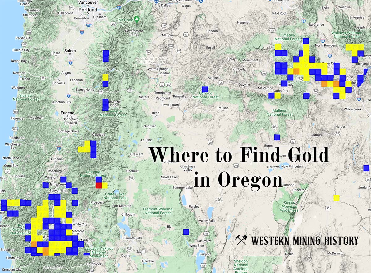
"Where to Find Gold in Oregon" looks at the density of modern placer mining claims along with historical gold mining locations and mining district descriptions to determine areas of high gold discovery potential in Oregon. Read more: Where to Find Gold in Oregon.