Shasta County, California Mines

Of the 945 USGS mine records in Shasta County, 585 list gold as a primary commodity. Copper is the most reported primary commodity for non gold mines.

WMH Mine Discovery Tools for Google Earth are available for Shasta county
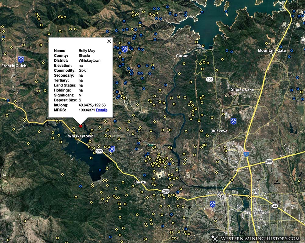
Shasta County California mine distribution
Image from the WMH Mine Discovery Tools for Google Earth illustrates mine distribution in Shasta County. Yellow markers are mines with gold as a primary commodity, blue markers are non-gold mines.

The USGS gives the following synopsis of Shasta County gold mining history:

Lode and placer gold as well as large amounts of byproduct gold from the West Shasta copper-zinc district have been mined in Shasta County. The major lode districts are the Deadwood-French Gulch, Harrison Gulch, Old Diggings, and Whiskey-town. Placer operations are centered in the Igo district and along the Roaring River.

Total gold production of Shasta County from 1880 through 1959 was 2,033,000 ounces, mostly of lode and byproduct origin. Output of placer gold from 1905 through 1959 was 375,472 ounces. Most of the foregoing production was before 1940; during 1950-59 less than 1,000 ounces per year was reported.
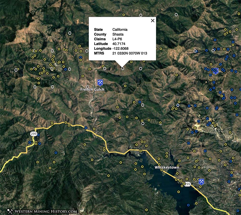
Shasta County California mine distribution
French Gulch is an area with active mining claims activity in Shasta County.

About the MRDS Mines Database:

All mine locations were obtained from the USGS Mineral Resources Data System. The locations and other information in this database have not been verified for accuracy. It should be assumed that all mines are on private property.

All 945 mines in Shasta County, California

Western Mining History is your source for over 116,000 mines in the western states.

California Gold

Where to Find Gold in California

"Where to Find Gold in California" looks at the density of modern placer mining claims along with historical gold mining locations and mining district descriptions to determine areas of high gold discovery potential in California. Read more: Where to Find Gold in California.