The Kelly Camp is a tungsten mine located in Ferry county, Washington at an elevation of 4,600 feet.
About the MRDS Data:
All mine locations were obtained from the USGS Mineral Resources Data System. The locations and other information in this database have not been verified for accuracy. It should be assumed that all mines are on private property.
Mine Info
Elevation: 4,600 Feet (1,402 Meters)
Commodity: Tungsten
Lat, Long: 48.80389, -118.79667
Map: View on Google Maps
Satelite View
MRDS mine locations are often very general, and in some cases are incorrect. Some mine remains have been covered or removed by modern industrial activity or by development of things like housing. The satellite view offers a quick glimpse as to whether the MRDS location corresponds to visible mine remains.
Kelly Camp MRDS details
Site Name
Primary: Kelly Camp
Commodity
Primary: Tungsten
Secondary: Copper
Secondary: Molybdenum
Tertiary: Tin
Location
State: Washington
County: Ferry
District: Republic Mining District
Land Status
Not available
Holdings
Not available
Workings
Type: Surface/Underground
Ownership
Owner Name: Charles Weller
Production
Not available
Deposit
Record Type: Site
Operation Category: Past Producer
Operation Type: Unknown
Discovery Method: Unknown
Years of Production:
Organization:
Significant: N
Deposit Size: S
Physiography
General Physiographic Area: Rocky Mountain System
Physiographic Province: Northern Rocky Mountains
Physiographic Detail: Okanogan Highlands
Mineral Deposit Model
Not available
Orebody
Form: IRREGULAR
Structure
Not available
Alterations
Not available
Rocks
Name: Quartz Monzonite
Role: Associated
Age Type: Host Rock Unit
Age Young: Pennsylvanian
Name: Quartz Monzonite
Role: Associated
Age Type: Host Rock
Age Young: Pennsylvanian
Name: Quartz Monzonite
Role: Associated
Age Type: Associated Rock
Age Young: Pliocene
Analytical Data
Analytical Data: SELECTED SAMPLES CONTAIN AS MUCH AS 7.62% WO3 - OVERALL AVERAGE PROBABLY LESS THAN 0.1% WO3
Materials
Ore: Scheelite
Ore: Molybdenite
Ore: Chalcopyrite
Gangue: Garnet
Gangue: Magnetite
Comments
Comment (Production): ONLY PRODUCTION WAS 10 TONS FOR A MILL TEST IN 1951, 1954, 1955
Comment (Workings): DEVELOPMENT INCLUDES 75 FT. INCLINED SHAFT AND SEVERAL SHORT ADITS AND PROSPECT PITS
Comment (Deposit): SKARN ZONE ORIGINALLY WAS SERIES OF SANDY SHALES AND LIMESTONES, PROBABLY PALEZOIC IN AGE
References
Reference (Deposit): HUNTTING, M. T., 1956, INVENTORY OF WASHINGTON MINERALS PART II METALLIC MINERALS: WASHINGTON DIV. MINES AND GEOL. BULL. 37, V. 1, P. 344
Reference (Deposit): CULVER, H. E. AND BROUGHTON, W. A., 1945, TUNGSTEN RESOURCES OF WASHINGTON: WASH. DIV. OF GEOLOGY BULL. 34, P. 26
Reference (Deposit): PEARSON, R. C., 1967, GEOLOGIC MAP OF THE BODIE MOUNTAIN QUADRANGLE, FERRY AND OKANOGAN COUNTIES, WASHINGTON: US GEOLOGICAL SURVEY GQ-636.
Washington Gold

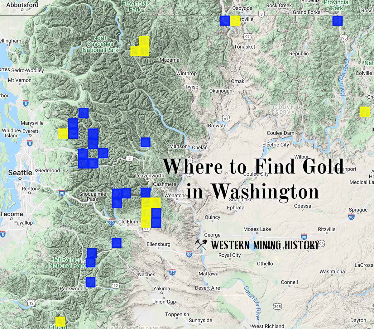
"Where to Find Gold in Washington" looks at the density of modern placer mining claims along with historical gold mining locations and mining district descriptions to determine areas of high gold discovery potential in Arizona. Read more: Where to Find Gold in Washington.