The Musgrove Creek is a gold mine located in Malheur county, Oregon at an elevation of 3,760 feet.
About the MRDS Data:
All mine locations were obtained from the USGS Mineral Resources Data System. The locations and other information in this database have not been verified for accuracy. It should be assumed that all mines are on private property.
Mine Info
Elevation: 3,760 Feet (1,146 Meters)
Commodity: Gold
Lat, Long: 43.6675, -117.36140
Map: View on Google Maps
Satelite View
MRDS mine locations are often very general, and in some cases are incorrect. Some mine remains have been covered or removed by modern industrial activity or by development of things like housing. The satellite view offers a quick glimpse as to whether the MRDS location corresponds to visible mine remains.
Musgrove Creek MRDS details
Site Name
Primary: Musgrove Creek
Secondary: Grassy Mtn Property
Secondary: Grassy Mountain Mine
Commodity
Primary: Gold
Secondary: Silver
Location
State: Oregon
County: Malheur
Land Status
Land ownership: BLM Administrative Area
Note: the land ownership field only identifies whether the area the mine is in is generally on public lands like Forest Service or BLM land, or if it is in an area that is generally private property. It does not definitively identify property status, nor does it indicate claim status or whether an area is open to prospecting. Always respect private property.
Holdings
Type: Located Claim
Workings
Type: Surface
Ownership
Owner Name: Newmont Exploration, Ltd. (Newmont Gold Co.)
Home Office: Colorado
Info Year: 1996
Years: 1992 -
Owner Name: Atlas Corp.
Percent: 100.0
Home Office: Colorado
Info Year: 1992
Years: 1986 -
Production
Not available
Deposit
Record Type: Site
Operation Category: Plant
Plant Type: Leach
Plant Subtype: Hydromet
Operation Type: Surface
Mining Method: Open Pit
Milling Method: Hydrometallurgy Unspecified
Discovery Year: 1986
Discovery Method: Ore-Mineral In Place
Years of Production:
Organization:
Significant: Y
Physiography
General Physiographic Area: Intermontane Plateaus
Physiographic Province: Columbia Plateau
Physiographic Section: Payette Section
Mineral Deposit Model
Model Name: Hot-spring Au-Ag
Orebody
Not available
Structure
Not available
Alterations
Not available
Rocks
Not available
Analytical Data
Not available
Materials
Not available
Comments
Comment (Production): YIELD IS 2,156 KG/A AU/AG DORE OF UNDETERMINED GRADE.
Comment (Deposit): AS OF APRIL, 97 MINE IS NOT IN PRODUCTION. STATUS WILL BE BE CHANGED FROM MINERAL LOCATION TO EXP PROSPECT: NEWMONT HAS A 35 YR LEASE WHICH CAN BE EXTENDED TO 65 YR. LEASE WAS SINGED IN 1992. COSR OF LEASE $22.5 MILLION. PROPERTY INCLUDES MUSGROVE CREEK PROPERTY.
Comment (Reserve-Resource): THIS MATERIAL HAS BEEN RECLASSIFIED AS MINERALIZED MATERIAL.
Comment (Economic Factors): FIRST PRODUCTION EXPECTED IN EARLY 1993. RESERVE SAID TO BE 1,200,000 OZ CONT. AU. CAPACITY LIKELY TO BE 100,000 OZ/YR.
Comment (Reserve-Resource): SULFIDE ORE FOR CIL PLANT. OXIDE ORE FOR HEAP LEACH. M3C1=M1C1 +M261. M3C1 IS SOURCE OF ORE.
Comment (Reserve-Resource): 1994 RESERVES FROM SKILLINGS MINING REVIEW MARCH 5, 1994. RANDOL, 1996/97 RESERVES RECLASSIFIED AS MINERALIZED MATERIAL PENDING ADDITIONAL EVALUATION. R-RECORDS 2 AND 3. R-RECORD 4 SILVER GRADE NOT GIVEN: POSSIBLY SAME AS R-RECORD THREE.
Comment (Production): CAPACITY IS COMBINED PRODUCT OF MILL & SOLUTION FROM HEAP LEACH. CAPACITY OUTPUT PRODUCTION COST, AND INVESTMENT IS COMBINED CIL AND HEAP LEACH.
References
Reference (Deposit): AMERICAN METAL MARKET, V104 N7, 1-10-96, P.2.
Reference (Deposit): ROCKY MOUNTAIN PAY DIRT, 4-93, P.3A.
Reference (Deposit): ROCKY MOUNTAIN PAY DIRT, 2-93, P.24A
Reference (Deposit): RANDOL MINING DIRECTORY 1994/95, P.376.
Reference (Deposit): RANDOL MINING DIRECTORY 1993/94, P.310.
Reference (Deposit): ROCKY MOUNTAIN PAY DIRT, #171, 12/93, P.3A.
Reference (Deposit): EIS FILES, GRASSY MOUNTAIN PROJECT, OREGON.
Reference (Deposit): AMERICAN METALS MARKET, 10-29-96, V104 N210, P.7.
Reference (Deposit): DOGAMI MLR 23-0195
Reference (Reserve-Resource): AMERICAN MINES HANDBOOK, 1997, P39.
Reference (Reserve-Resource): NEWMONT GOLD CO., 1995 ANNUAL REPORT, P.41.
Reference (Reserve-Resource): NEWMONT GOLD CO., 1994 10-K, P.13,14.
Reference (Reserve-Resource): NEWMONT MINING CORP., 1993 ANNUAL REPORT, P.17.
Reference (Ownership): THE MINING RECORD, VOL., 107, #42, OCT., 16, 1996, P1.
Reference (Ownership): AMERICAN MINES HANDBOOK'S, 1993, 28; 1996, P33; 1997, P39.
Reference (Deposit): COMPANIES, P295.
Reference (Deposit): RANDOL, MINING DIRECTORY 1996/97, U.S. MINES & MINING
Reference (Deposit): NEWMONT MINING CORP., 1994 ANNUAL REPORT, P.27-29.
Oregon Gold

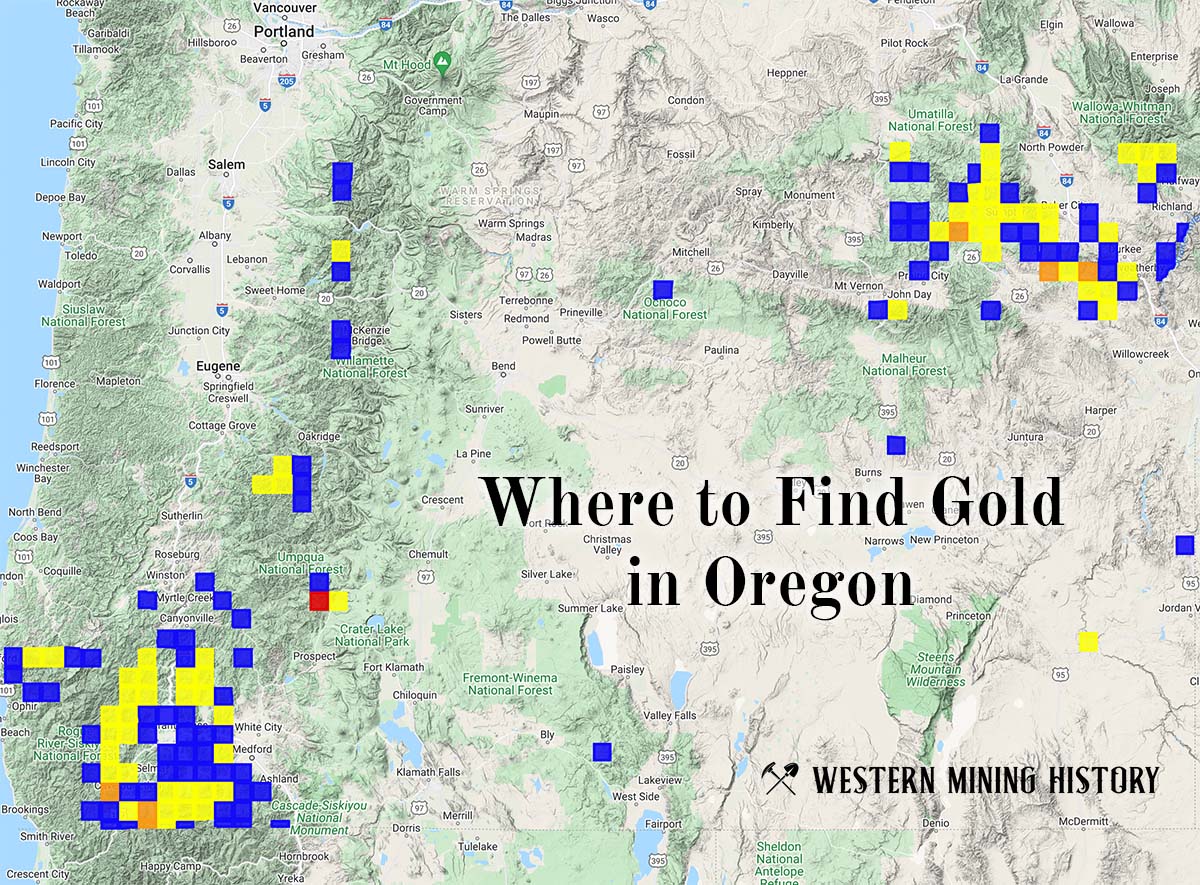
"Where to Find Gold in Oregon" looks at the density of modern placer mining claims along with historical gold mining locations and mining district descriptions to determine areas of high gold discovery potential in Oregon. Read more: Where to Find Gold in Oregon.